MyTopo
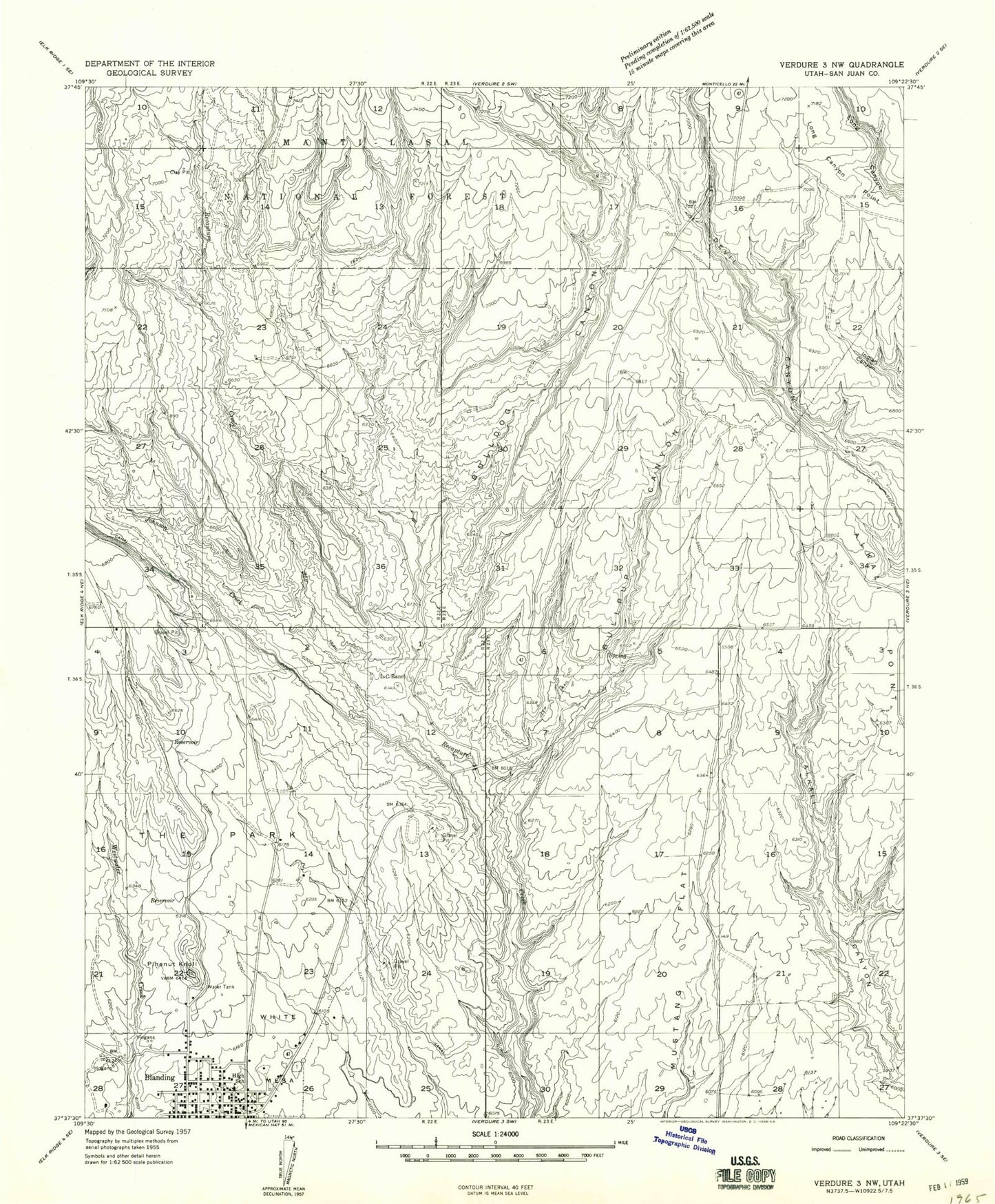
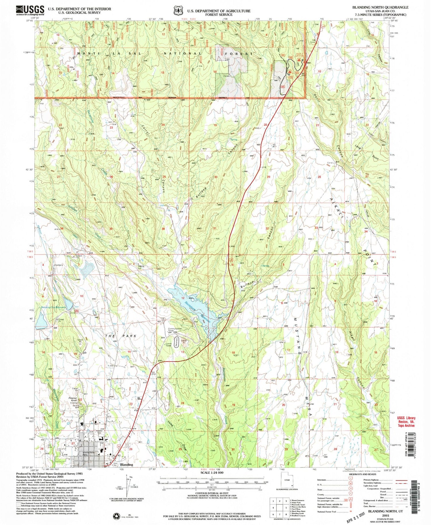
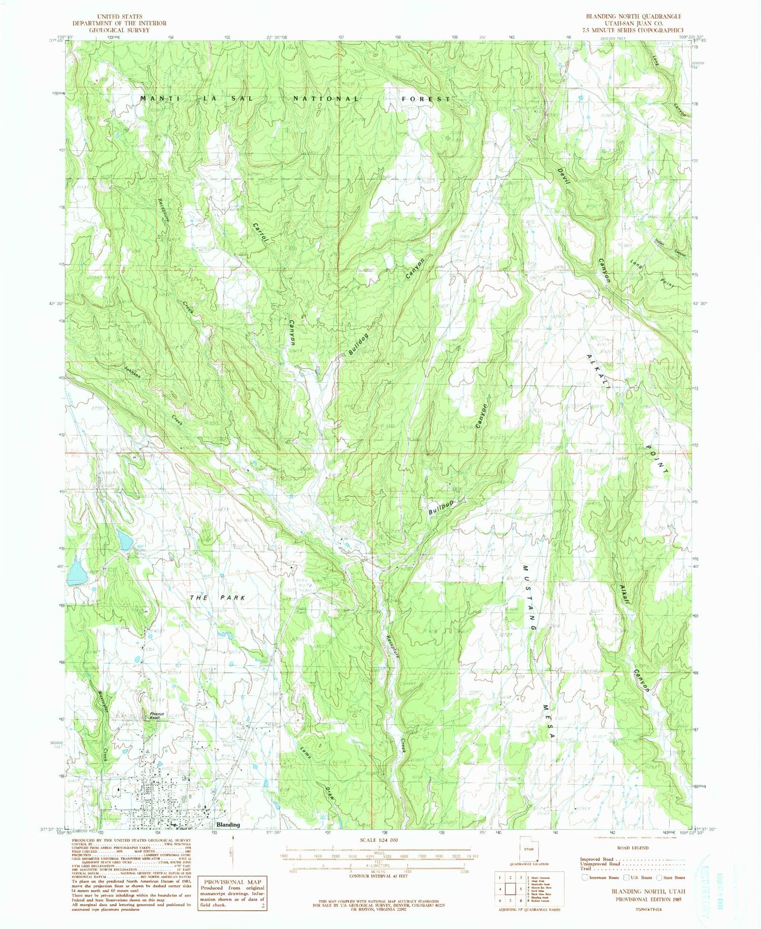
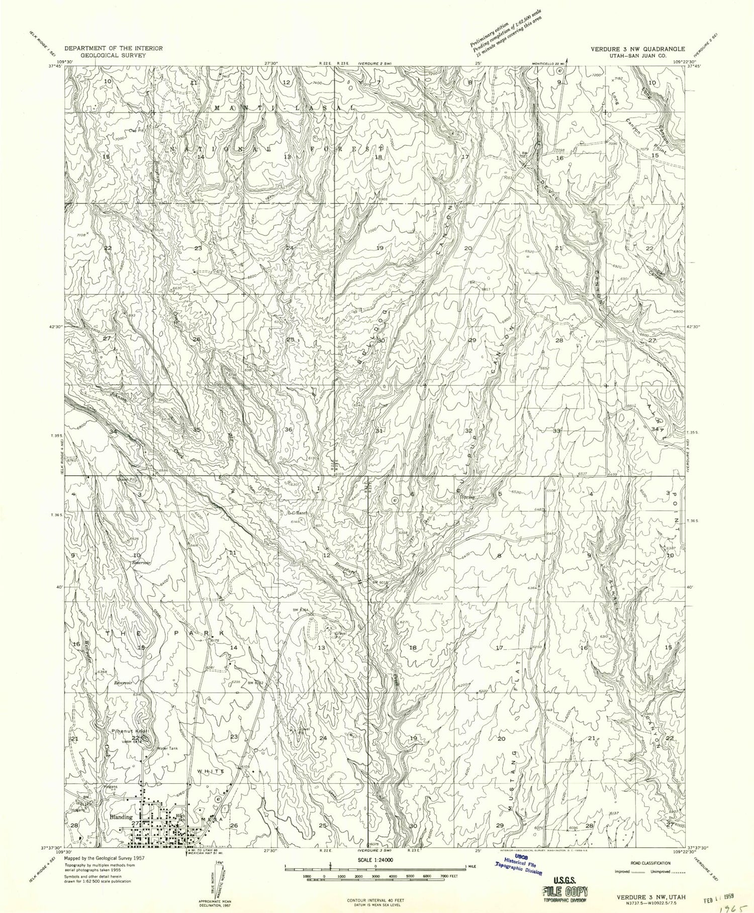
Classic USGS Blanding North Utah 7.5'x7.5' Topo Map
Couldn't load pickup availability
Historical USGS topographic quad map of Blanding North in the state of Utah. Map scale may vary for some years, but is generally around 1:24,000. Print size is approximately 24" x 27"
This quadrangle is in the following counties: San Juan.
The map contains contour lines, roads, rivers, towns, and lakes. Printed on high-quality waterproof paper with UV fade-resistant inks, and shipped rolled.
Contains the following named places: Albert R Lyman Middle School, Alkali Point, Alkali Ridge Historical Marker, Blanding City Cemetery, Blanding City Number Four Dam, Blanding City Number Three Dam, Blanding City Number Three Reservoir, Blanding City Reservoirs, Blanding Police Department, Blanding Post Office, Bulldog Canyon, Bullpup Canyon, Carrol Canyon, Devils Canyon Campground, Edge of the Cedars Museum, Johnson Creek, KUTA-AM (Blanding), L-C Ranch, Long Canyon Point, Long Point, Mustang Mesa, Pinenut Knoll, Recapture Reservoir, San Juan Emergency Medical Services - Blanding, San Juan High School, The Church of Jesus Christ of Latter Day Saints, The Park, Water Storage Reservoir Number-Four