MyTopo
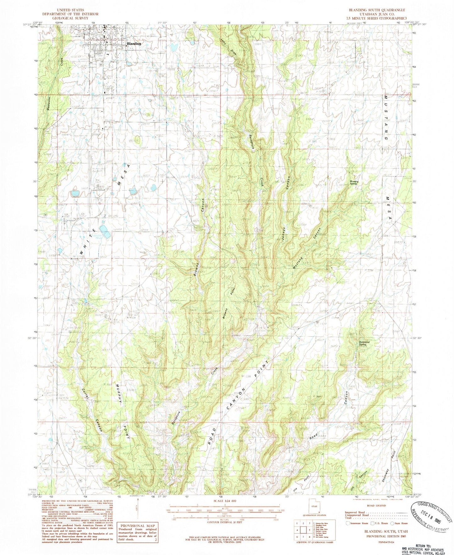
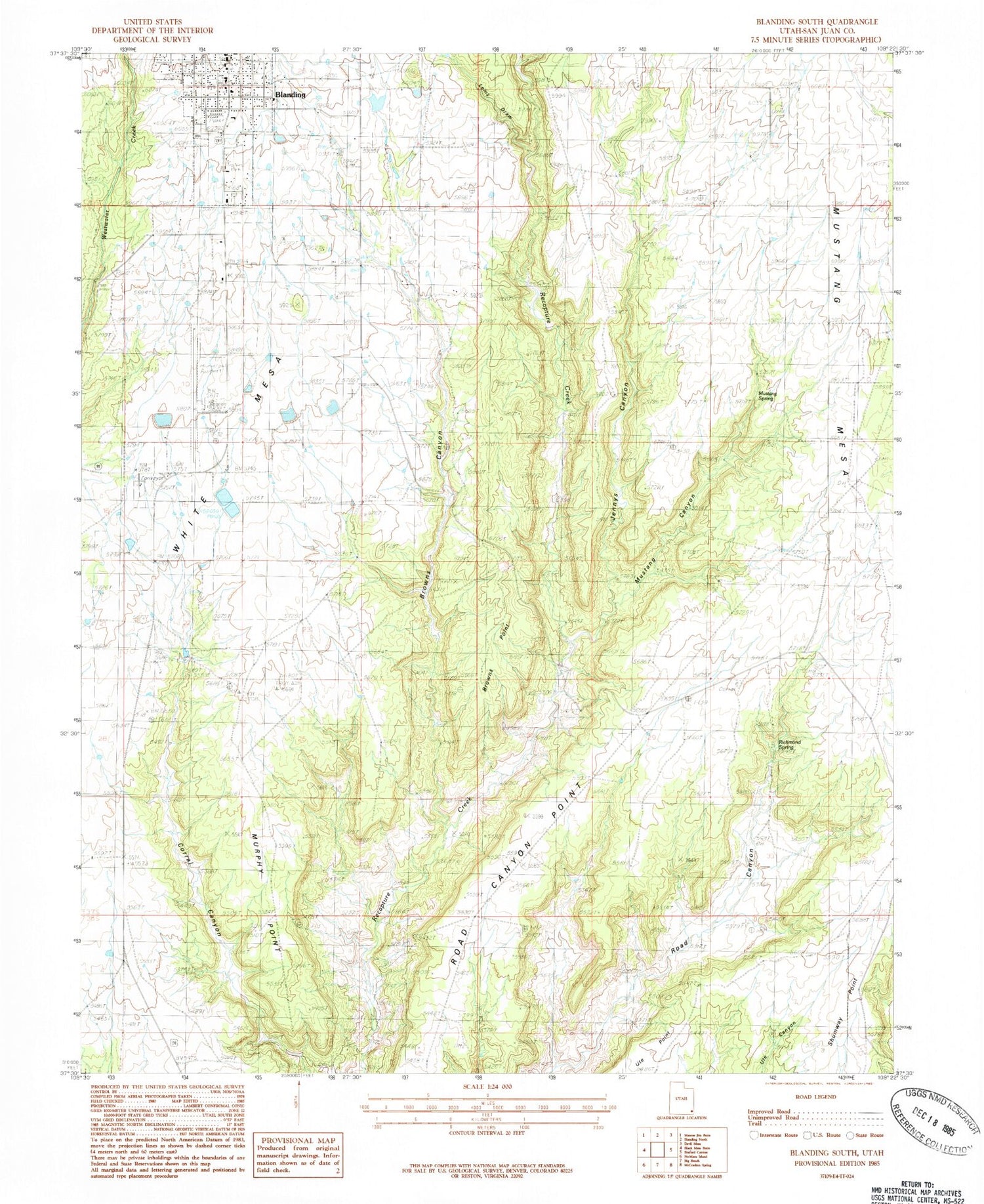
Classic USGS Blanding South Utah 7.5'x7.5' Topo Map
Couldn't load pickup availability
Historical USGS topographic quad map of Blanding South in the state of Utah. Map scale may vary for some years, but is generally around 1:24,000. Print size is approximately 24" x 27"
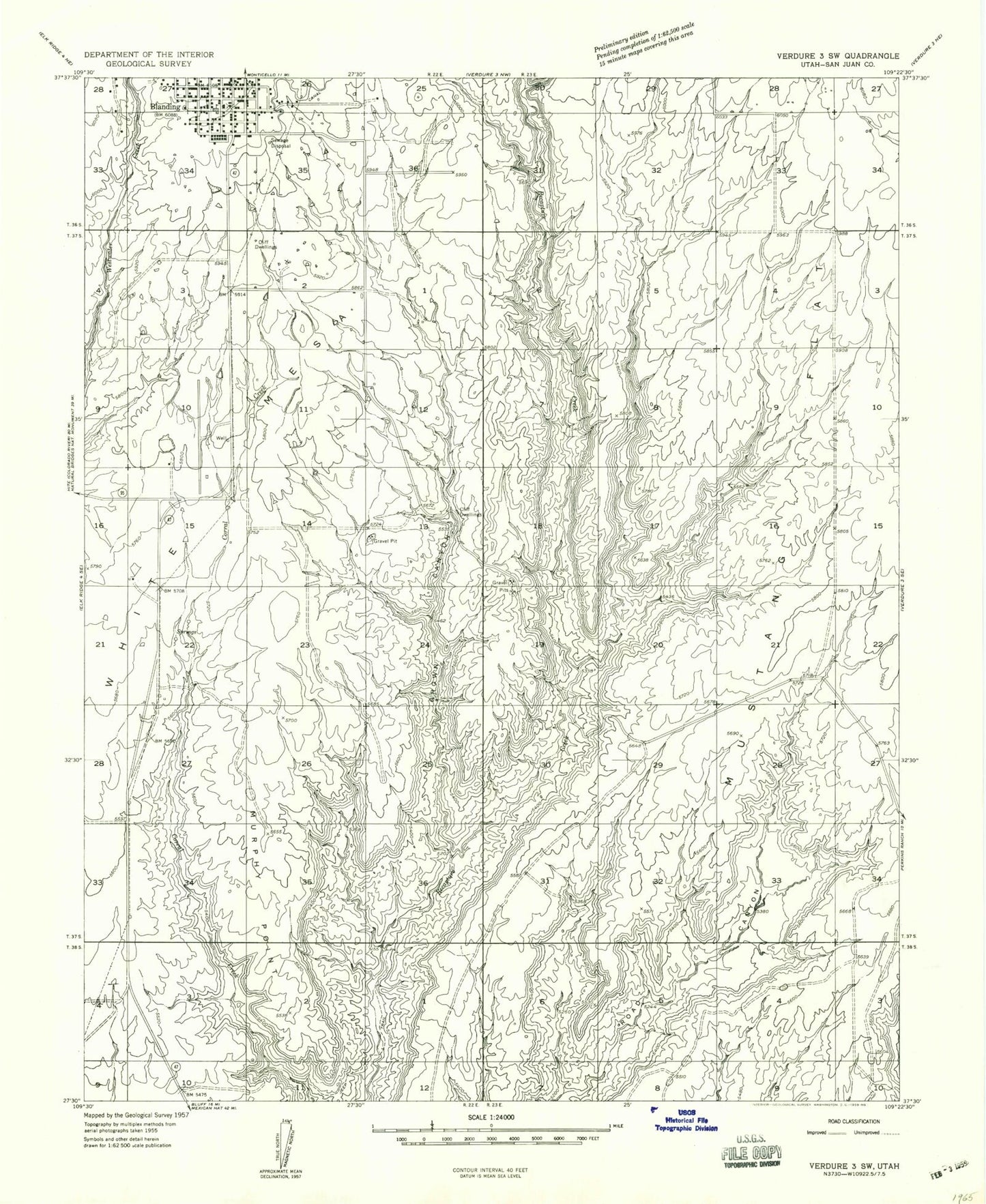
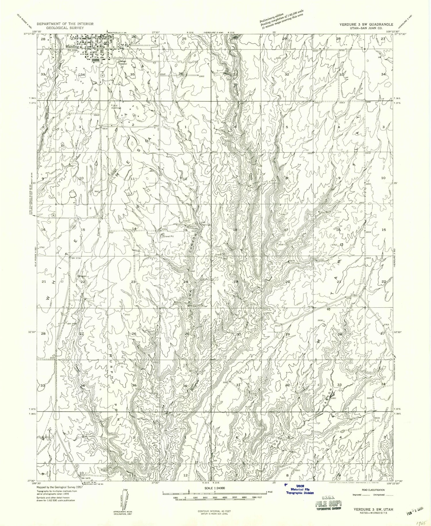
This quadrangle is in the following counties: San Juan.
The map contains contour lines, roads, rivers, towns, and lakes. Printed on high-quality waterproof paper with UV fade-resistant inks, and shipped rolled.
Contains the following named places: Blanding, Blanding Elementary School, Blanding Fire Department, Blanding Heliport, Blanding Municipal Airport, Blanding Radar Site, Blue Mountain Hospital, Browns Canyon, Browns Point, Chief Poseys Indian Battle Historical Marker, Eagle Air Med, Edge of the Cedars State Park, First Baptist Church, Jennys Canyon, Kampark Campground, Lems Draw, Murphy Point, Mustang Canyon, Mustang Spring, Richmond Spring, San Juan Emergency Medical Services, The Church of Jesus Christ of Latter Day Saints, White Mesa, ZIP Code: 84511