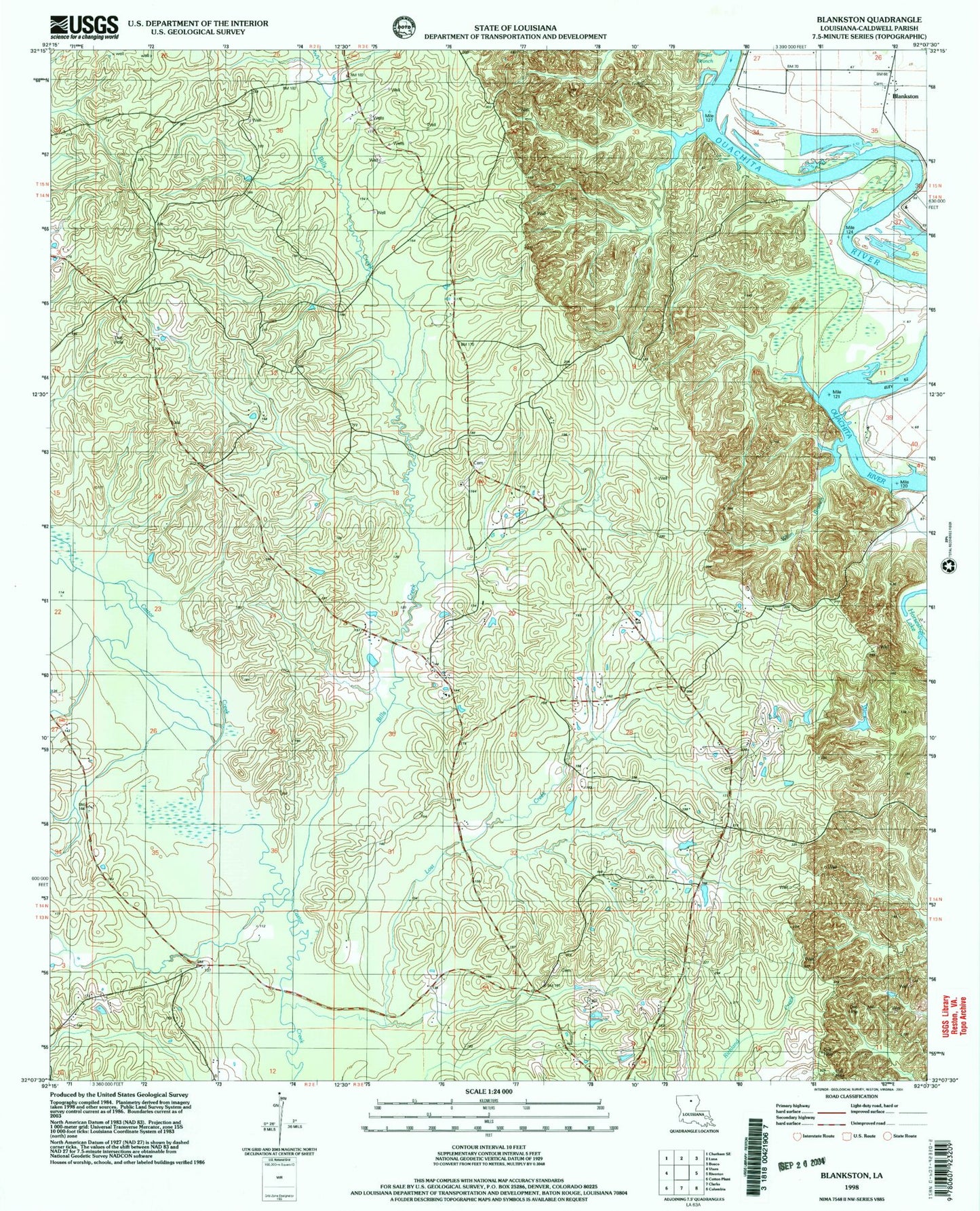
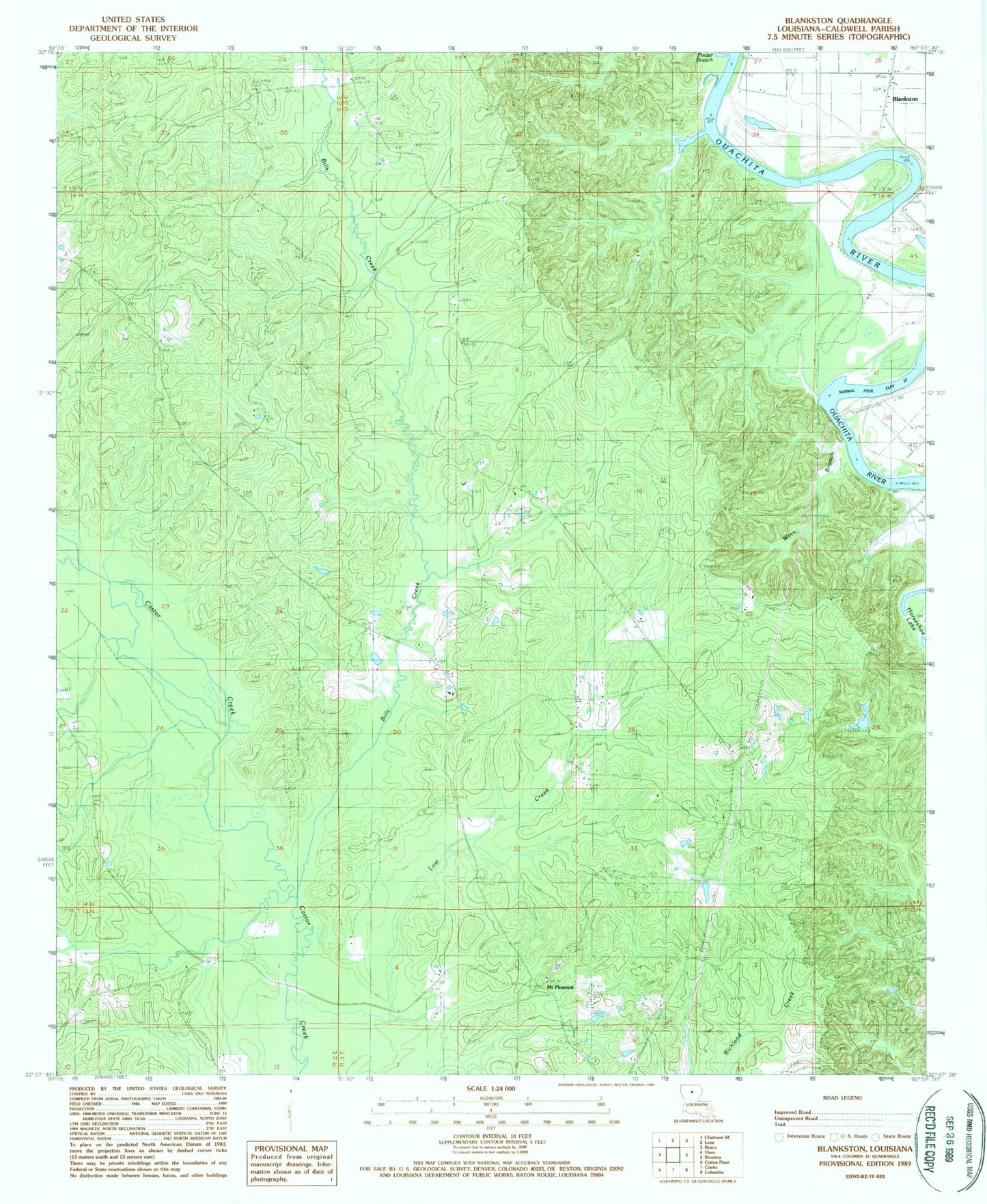
MyTopo
Classic USGS Blankston Louisiana 7.5'x7.5' Topo Map
Couldn't load pickup availability
Historical USGS topographic quad map of Blankston in the state of Louisiana. Map scale may vary for some years, but is generally around 1:24,000. Print size is approximately 24" x 27"
This quadrangle is in the following counties: Caldwell.
The map contains contour lines, roads, rivers, towns, and lakes. Printed on high-quality waterproof paper with UV fade-resistant inks, and shipped rolled.
Contains the following named places: Bills Creek, Blankston, Castor Landing, Fellowship Baptist Church, Fellowship Cemetery, KCTO-FM (Columbia), Locust Landing, Lone Grave Bluff, Lost Creek, Lost Creek Gas Field, Montgomery Landing, Mount Pleasant, Mount Pleasant Cemetery, Mount Pleasant Church, New Testament Church, Old Mount Pleasant, Parish Governing Authority District 5, Pinder Branch, Upper Lone Grave Bayou, Ward 5 Church, Ward 5 School, Ward One, Waverly Landing, Winn Branch