MyTopo
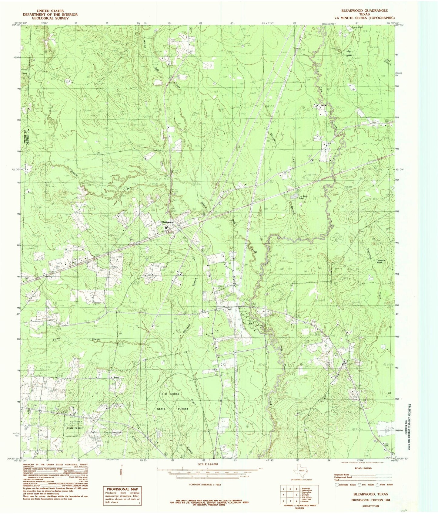
Classic USGS Bleakwood Texas 7.5'x7.5' Topo Map
Couldn't load pickup availability
Historical USGS topographic quad map of Bleakwood in the state of Texas. Map scale may vary for some years, but is generally around 1:24,000. Print size is approximately 24" x 27"
This quadrangle is in the following counties: Jasper, Newton.
The map contains contour lines, roads, rivers, towns, and lakes. Printed on high-quality waterproof paper with UV fade-resistant inks, and shipped rolled.
Contains the following named places: Adsul, Big Marsh, Biloxi Cemetery, Biloxi Church, Bleakwood, Donahoe Marsh, Dry Creek, E O Siecke State Forest, Everett Creek, George Lewis Branch, Harrells, Howards, Lewis Chapel, Log Town Pond, Long Marsh, McFarland - Wilson Cemetery, Odom Cemetery, Pilgrim Church, Thickety Creek, Trout Creek Nature Trail, Watson Chapel, White Oak Creek, Whitman Branch