MyTopo
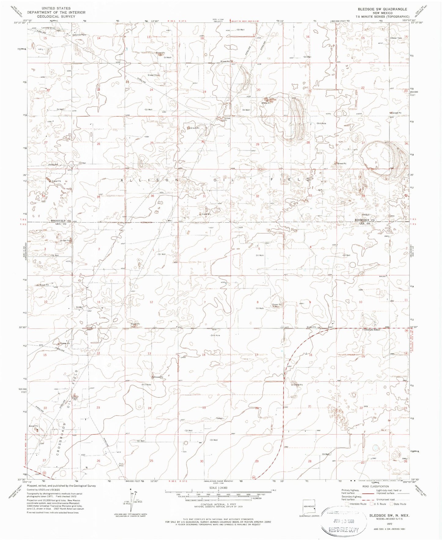
Classic USGS Bledsoe SW New Mexico 7.5'x7.5' Topo Map
Couldn't load pickup availability
Historical USGS topographic quad map of Bledsoe SW in the state of New Mexico. Map scale may vary for some years, but is generally around 1:24,000. Print size is approximately 24" x 27"
This quadrangle is in the following counties: Lea, Roosevelt.
The map contains contour lines, roads, rivers, towns, and lakes. Printed on high-quality waterproof paper with UV fade-resistant inks, and shipped rolled.
Contains the following named places: 05068 Water Well, 12550 Water Well, 12551 Water Well, 12552 Water Well, 12557 Water Well, 12558 Water Well, 12559 Water Well, 12606 Water Well, 12609 Water Well, 12611 Water Well, 12612 Water Well, 12621 Water Well, 12624 Water Well, 12625 Water Well, 12626 Water Well, 12628 Water Well, 12629 Water Well, 12630 Water Well, 12631 Water Well, 12842 Water Well, 12843 Water Well, 13135 Water Well, 88114, Allison Oil Field, Crossroads Oil Field, Pitchfork School