MyTopo
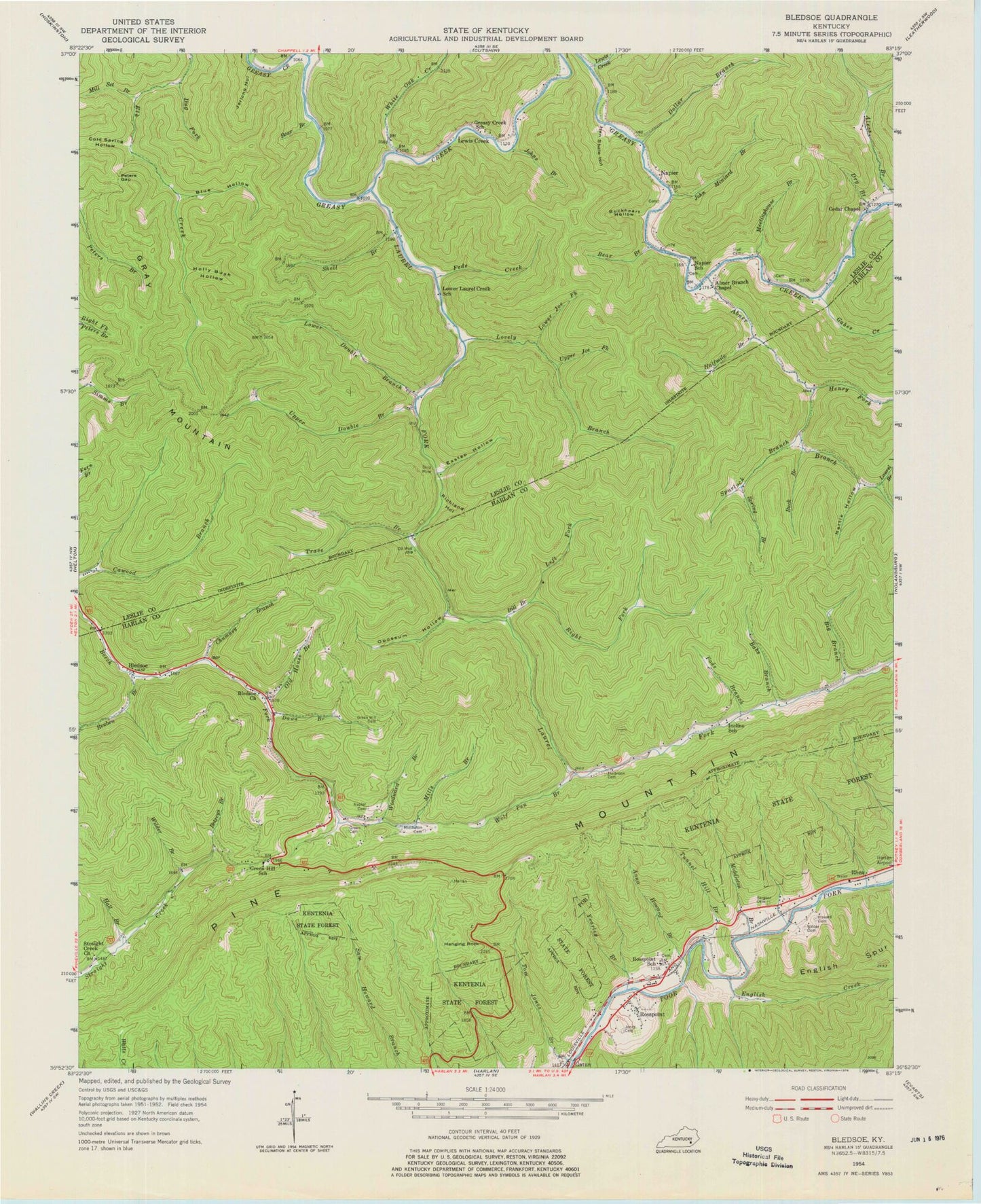
Classic USGS Bledsoe Kentucky 7.5'x7.5' Topo Map
Couldn't load pickup availability
Historical USGS topographic quad map of Bledsoe in the state of Kentucky. Map scale may vary for some years, but is generally around 1:24,000. Print size is approximately 24" x 27"
This quadrangle is in the following counties: Harlan, Leslie.
The map contains contour lines, roads, rivers, towns, and lakes. Printed on high-quality waterproof paper with UV fade-resistant inks, and shipped rolled.
Contains the following named places: Abner Branch, Abner Branch Chapel, Alecs Branch, Anna Howard Branch, Babs Branch, Bear Branch, Betseys Branch, Big Branch, Big Rock Post Office, Bill Branch, Bledsoe, Bledsoe Church, Bledsoe Post Office, Bledsoe Volunteer Fire Department Station 1, Blue Hollow, Britton Branch, Buck Branch, Buckheart Hollow, Cawood Recreation Site, Cedar Chapel, Chestnut Flats, Chumney Branch, Cold Spring Hollow, Daws Branch, Della Post Office, Dollar Branch, Dry Branch, Dug Fork, Eastep Hollow, English Creek, Fate Fork, Feds Creek, Gabes Creek, Gap Branch, Gatun Railroad Station, Gray Mountain, Greasy Creek Church, Greasy Creek School, Green Cemetery, Green Hill Cemetery, Green Hills Elementary School, Halfmile Branch, Hall Branch, Hanging Rock, Harlan County Forestry Camp, Hazard Gap, Hen Shate Hollow, Henry Fork, Holbrook Cemetery, Holly Bush Hollow, Howard Cemetery, Huff Cemetery, Incline Post Office, Incline School, Jericho Hollow, John Miniard Branch, Johns Branch, Jones Cemetery, Jonesburg Post Office, Laurel Branch, Laurel Fork, Laurel Mission Church, Left Fork Bill Branch, Lewis Creek, Lewis Creek Post Office, Little Sheppard Trail, Lovely Branch, Lower Double Branch, Lower Joe Fork, Lower Laurel Creek School, McKnight, Meetinghouse Branch, Middle Fork Reuben Branch, Middleton Branch, Middleton Cemetery, Mill Set Branch, Mills Branch, Napier, Napier Cemetery, Napier Post Office, Napier School, Natures Bathing Pool, Nettle Hollow, Old House Branch, Opossum Hollow, Peters Gap, Pine Mountain, Pine Mountain Division, Pods Branch, Reuben Branch, Rhea, Rhea Railroad Station, Richland Hollow, Right Fork Bill Branch, Rosspoint, Rosspoint Census Designated Place, Rosspoint Post Office, Rosspoint Railroad Station, Rosspoint School, Sergent Cemetery, Shell Branch, Shell Post Office, Spring Branch, Spurlock Branch, Straight Creek Church, Straight Creek School, Templeton Post Office, Tom Jones Branch, Trace Branch, Tunnel Hill Branch, Upper Double Branch, Upper Joe Fork, Upper Laurel Fork, White Oak Creek, Wilder Branch, Wilder Cemetery, Wolf Pen Branch, Woodward Branch, WTUK-FM (Harlan), Yearley Branch, ZIP Codes: 40806, 40810


