MyTopo
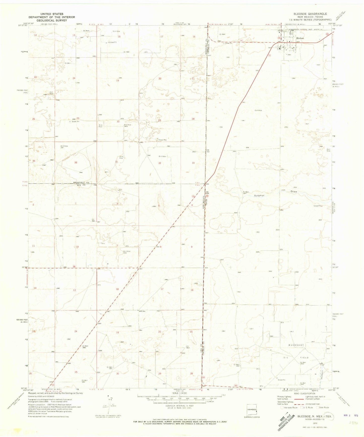
Classic USGS Bledsoe Texas 7.5'x7.5' Topo Map
Couldn't load pickup availability
Historical USGS topographic quad map of Bledsoe in the states of Texas, New Mexico. Map scale may vary for some years, but is generally around 1:24,000. Print size is approximately 24" x 27"
This quadrangle is in the following counties: Cochran, Lea, Roosevelt.
The map contains contour lines, roads, rivers, towns, and lakes. Printed on high-quality waterproof paper with UV fade-resistant inks, and shipped rolled.
Contains the following named places: 12560 Water Well, 12563 Water Well, 12564 Water Well, 12565 Water Well, 12620 Water Well, 12627 Water Well, 12632 Water Well, 12633 Water Well, 12637 Water Well, 12638 Water Well, 12639 Water Well, 12640 Water Well, 12641 Water Well, 13376 Water Well, 13377 Water Well, 79314, Bledsoe, Bledsoe Census Designated Place, Bledsoe Post Office