MyTopo
Classic USGS Blessing SE Texas 7.5'x7.5' Topo Map
Regular price
$16.95
Regular price
Sale price
$16.95
Unit price
per
Couldn't load pickup availability
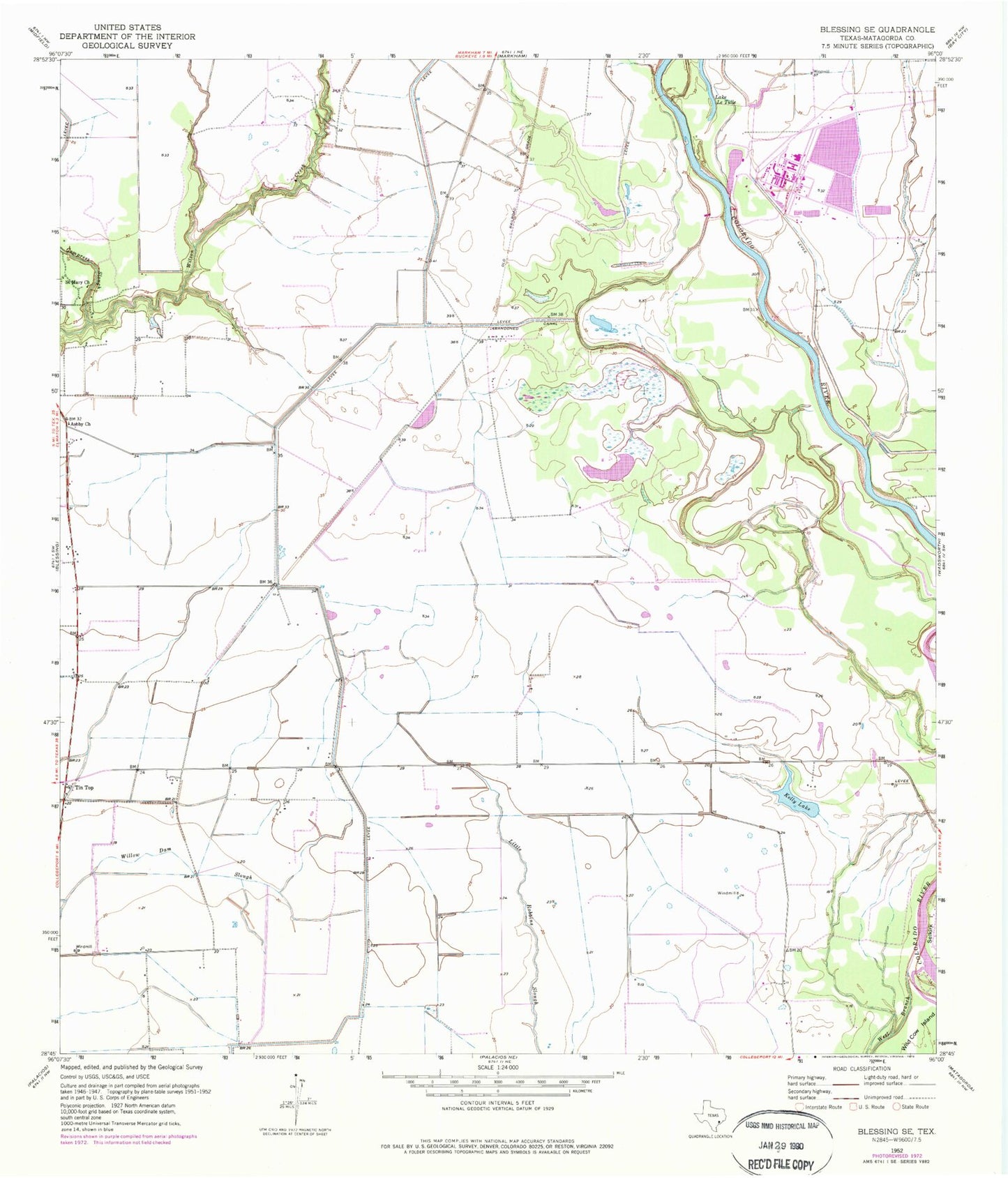
Historical USGS topographic quad map of Blessing SE in the state of Texas. Map scale may vary for some years, but is generally around 1:24,000. Print size is approximately 24" x 27"
This quadrangle is in the following counties: Matagorda.
The map contains contour lines, roads, rivers, towns, and lakes. Printed on high-quality waterproof paper with UV fade-resistant inks, and shipped rolled.
Contains the following named places: Ashby, Ashby Church, Compress Slough, Cooling Water Reservoir, Kelly Lake, Matagorda County, Port of Bay City, Saint Mary Church, Simpsonville, Tin Top, West Branch Colorado River