MyTopo
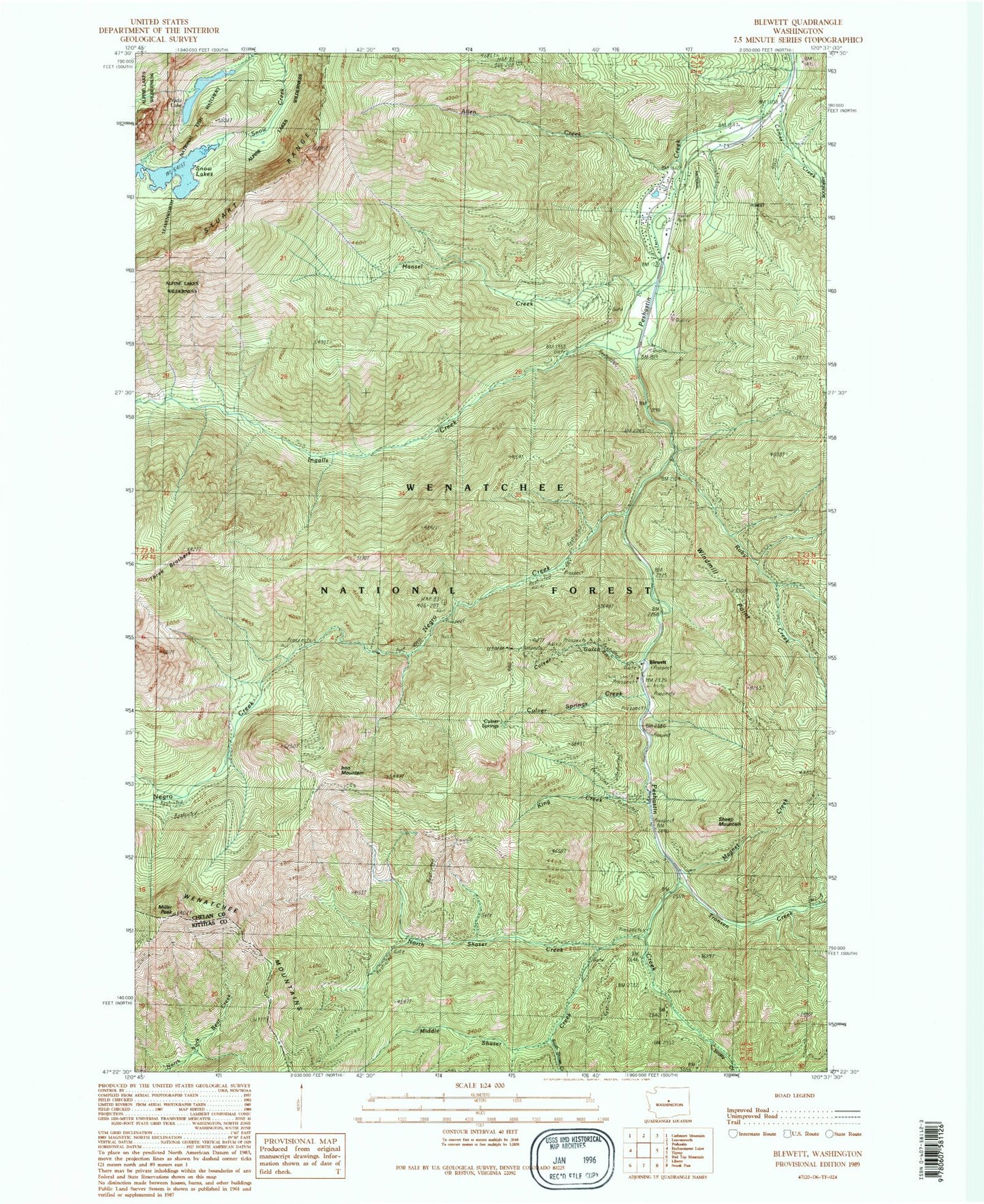
Classic USGS Blewett Washington 7.5'x7.5' Topo Map
Couldn't load pickup availability
Historical USGS topographic quad map of Blewett in the state of Washington. Map scale may vary for some years, but is generally around 1:24,000. Print size is approximately 24" x 27"
This quadrangle is in the following counties: Chelan, Kittitas.
The map contains contour lines, roads, rivers, towns, and lakes. Printed on high-quality waterproof paper with UV fade-resistant inks, and shipped rolled.
Contains the following named places: Allen Creek, Blewett, Caldo Mine, Camas Creek, Cedar Grove Campground, Culver Gulch, Culver Springs Creek, Etienne Creek, Hansel Creek, Ingalls Creek, Ingalls Creek Guard Station, Iron Mountain, King Creek, Leavenworth National Fish Hatchery, Magnet Creek, Magnet Creek Trail, Middle Shaser Creek, Middle Shaser Trail, Mill Ingalls Creek Trail, Miller Peak, Nada Lake, North Shaser Creek, North Shaser Trail, Ruby Creek, Scotty Creek, Scotty Creek Campground, Sheep Mountain, South Shaser Creek, Three Brothers Trail, Tronsen Creek, Windmill Point, ZIP Code: 98847