MyTopo
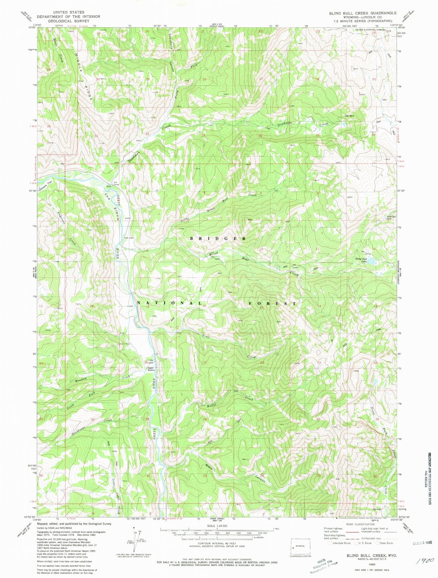
Classic USGS Blind Bull Creek Wyoming 7.5'x7.5' Topo Map
Couldn't load pickup availability
Historical USGS topographic quad map of Blind Bull Creek in the state of Wyoming. Typical map scale is 1:24,000, but may vary for certain years, if available. Print size: 24" x 27"
This quadrangle is in the following counties: Lincoln.
The map contains contour lines, roads, rivers, towns, and lakes. Printed on high-quality waterproof paper with UV fade-resistant inks, and shipped rolled.
Contains the following named places: Anderson Creek, Black Canyon, Blind Bull Creek, Blind Bull Lake, Blind Bull Mine, Box Y Ranch, Deadhorse Creek, Deadman Creek, Henderson Creek, Little Blind Bull Creek, Meadow Creek, Meadow Creek Guard Station, Moffat Creek, North Fork Deadman Creek, South Fork Meadow Creek, Telephone Hollow, The Elbow, Vail Mine, Meadows Forest Service Facility, Alpine Mine, Deadman Gulch Mine, Old Blind Bull Mine, West Mine, Trail Creek