
MyTopo
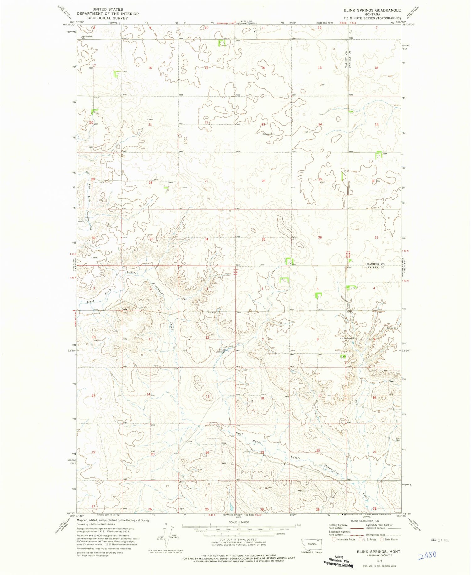
Classic USGS Blink Springs Montana 7.5'x7.5' Topo Map
Couldn't load pickup availability
Historical USGS topographic quad map of Blink Springs in the state of Montana. Map scale may vary for some years, but is generally around 1:24,000. Print size is approximately 24" x 27"
This quadrangle is in the following counties: Daniels, Valley.
The map contains contour lines, roads, rivers, towns, and lakes. Printed on high-quality waterproof paper with UV fade-resistant inks, and shipped rolled.
Contains the following named places: 32N44E04CBBD01 Well, 32N44E05DBCC01 Well, 32N44E06ADDB01 Well, 33N43E08CDCC01 Well, 33N43E11CDBD01 Well, 33N43E16CA__01 Well, 33N43E17DAAC01 Well, 33N43E25ADAD01 Well, 33N43E35DDDD02 Well, 33N44E30ABBB01 Well, Blink Springs, Ossette, Ossette Post Office, Ossette School, Our Saviors Church


