MyTopo
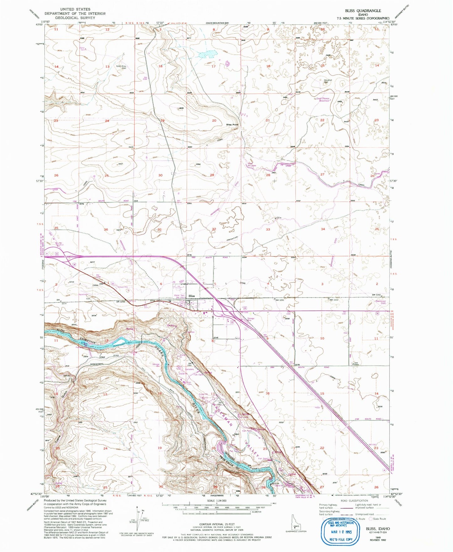
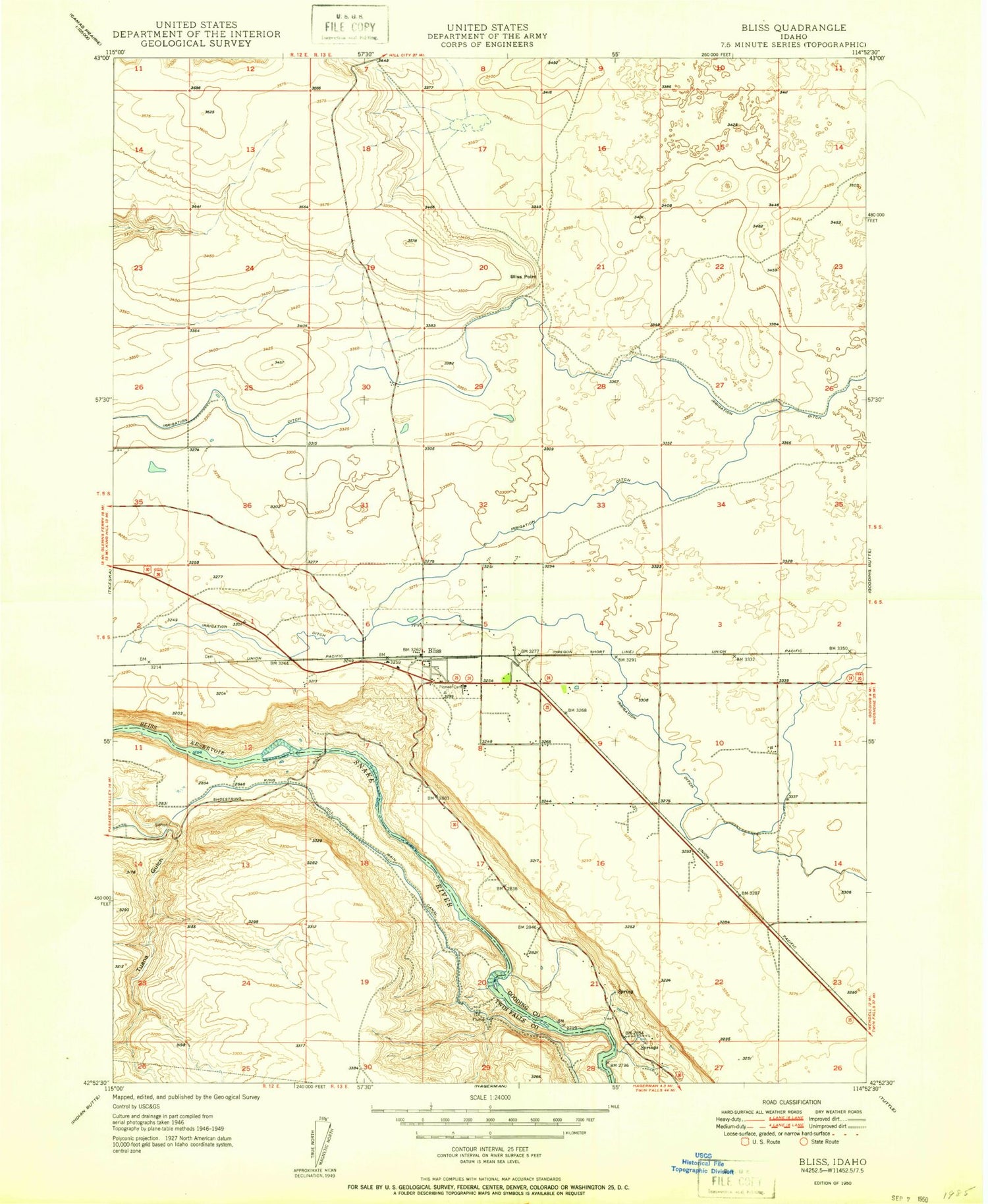
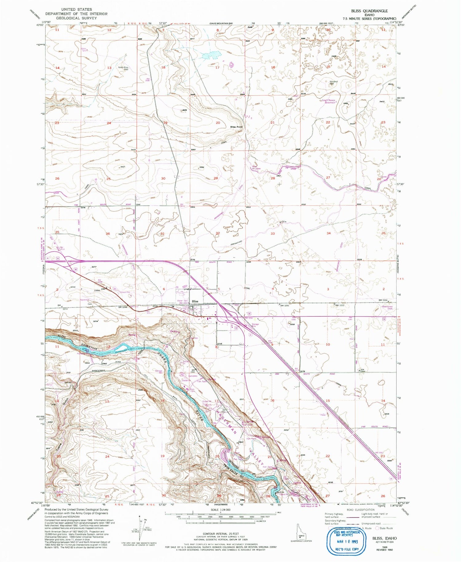
Classic USGS Bliss Idaho 7.5'x7.5' Topo Map
Couldn't load pickup availability
Historical USGS topographic quad map of Bliss in the state of Idaho. Map scale may vary for some years, but is generally around 1:24,000. Print size is approximately 24" x 27"
This quadrangle is in the following counties: Gooding, Twin Falls.
The map contains contour lines, roads, rivers, towns, and lakes. Printed on high-quality waterproof paper with UV fade-resistant inks, and shipped rolled.
Contains the following named places: Bliss, Bliss Community Church, Bliss Fire District Station, Bliss Point, Bliss Post Office, Bliss Public School, Bliss Quick Response, Bliss School, City of Bliss, Last Chance Reservoir, Lateral Y-4, Lateral Z-4, Lateral Z-6, North Bliss Well, Pioneer Cemetery, Windmill Well, Y Canal, Z Canal, ZIP Code: 83314