MyTopo
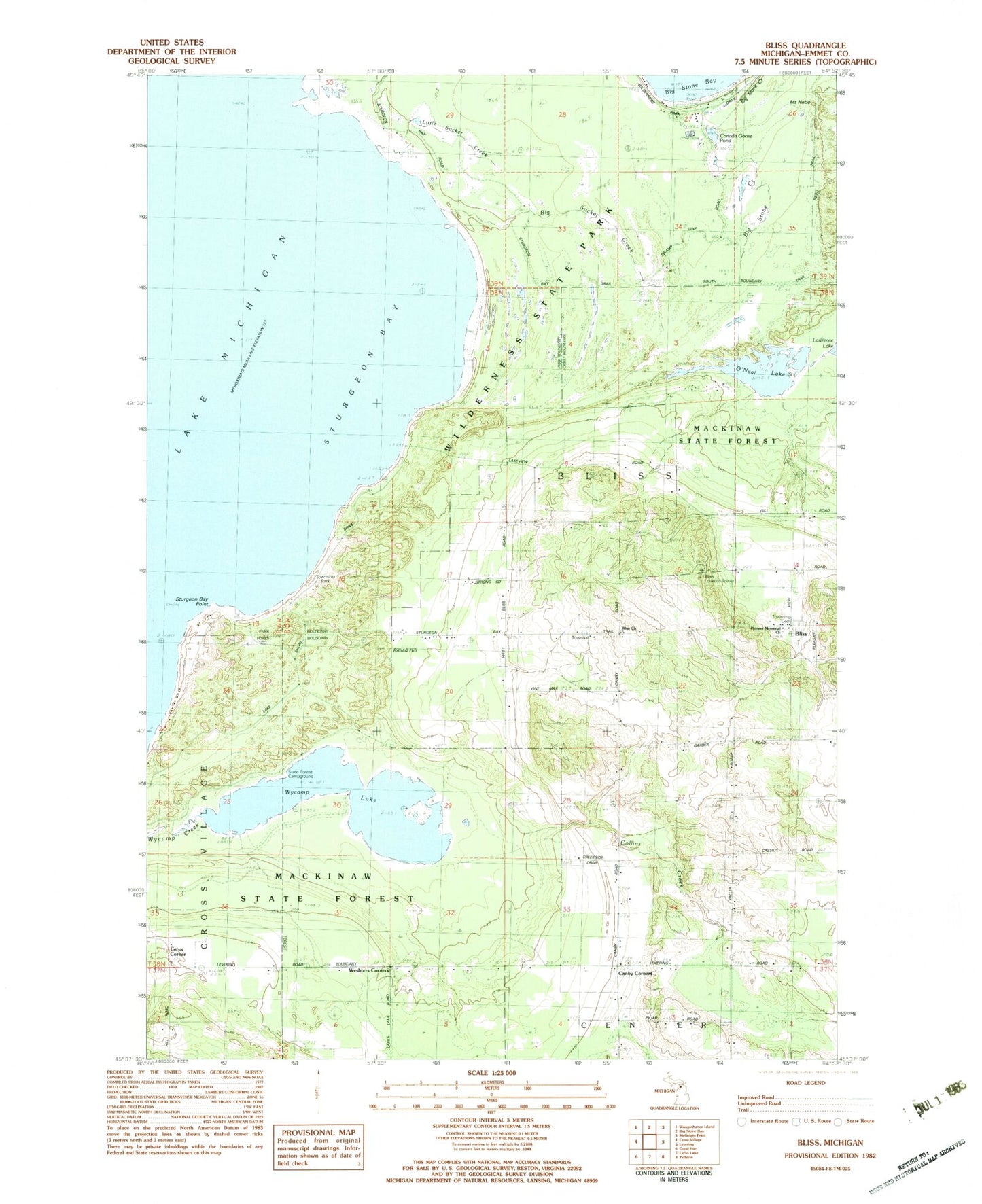
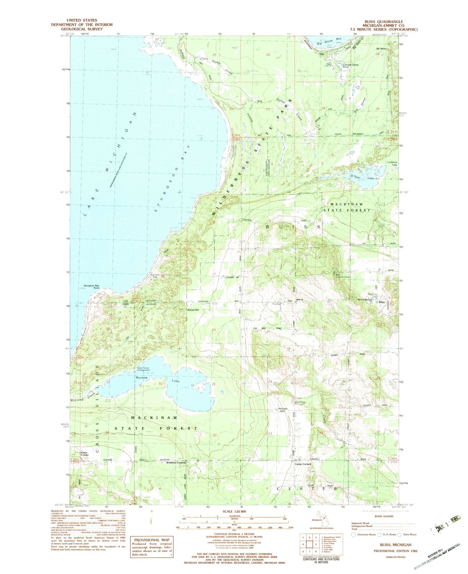
Classic USGS Bliss Michigan 7.5'x7.5' Topo Map
Couldn't load pickup availability
Historical USGS topographic quad map of Bliss in the state of Michigan. Typical map scale is 1:24,000, but may vary for certain years, if available. Print size: 24" x 27"
This quadrangle is in the following counties: Emmet.
The map contains contour lines, roads, rivers, towns, and lakes. Printed on high-quality waterproof paper with UV fade-resistant inks, and shipped rolled.
Contains the following named places: Big Stone Bay, Bliss Pioneer Memorial Church, Canby School, Little Sucker Creek, O'Neal Lake, Sturgeon Bay Point, West Bliss School, Wycamp Lake, Canada Goose Pond, Bliss Township Cemetery, Pioneer Memorial Church, Canby Corners, Websters Corners, Bliss Township Park, Billiau Hill, Cetus Corner, Bliss, Big Sucker Creek, Wilderness State Park, Bliss Lookout Tower, Township of Bliss, Bliss Branch Library, Sturgeon Bay Post Office (historical), Canby Post Office (historical), Bliss Post Office (historical), Bliss Pioneer Memorial Church Historical Marker, Collins Creek