MyTopo
Classic USGS Blizzard Mountain North Idaho 7.5'x7.5' Topo Map
Regular price
$16.95
Regular price
Sale price
$16.95
Unit price
per
Couldn't load pickup availability
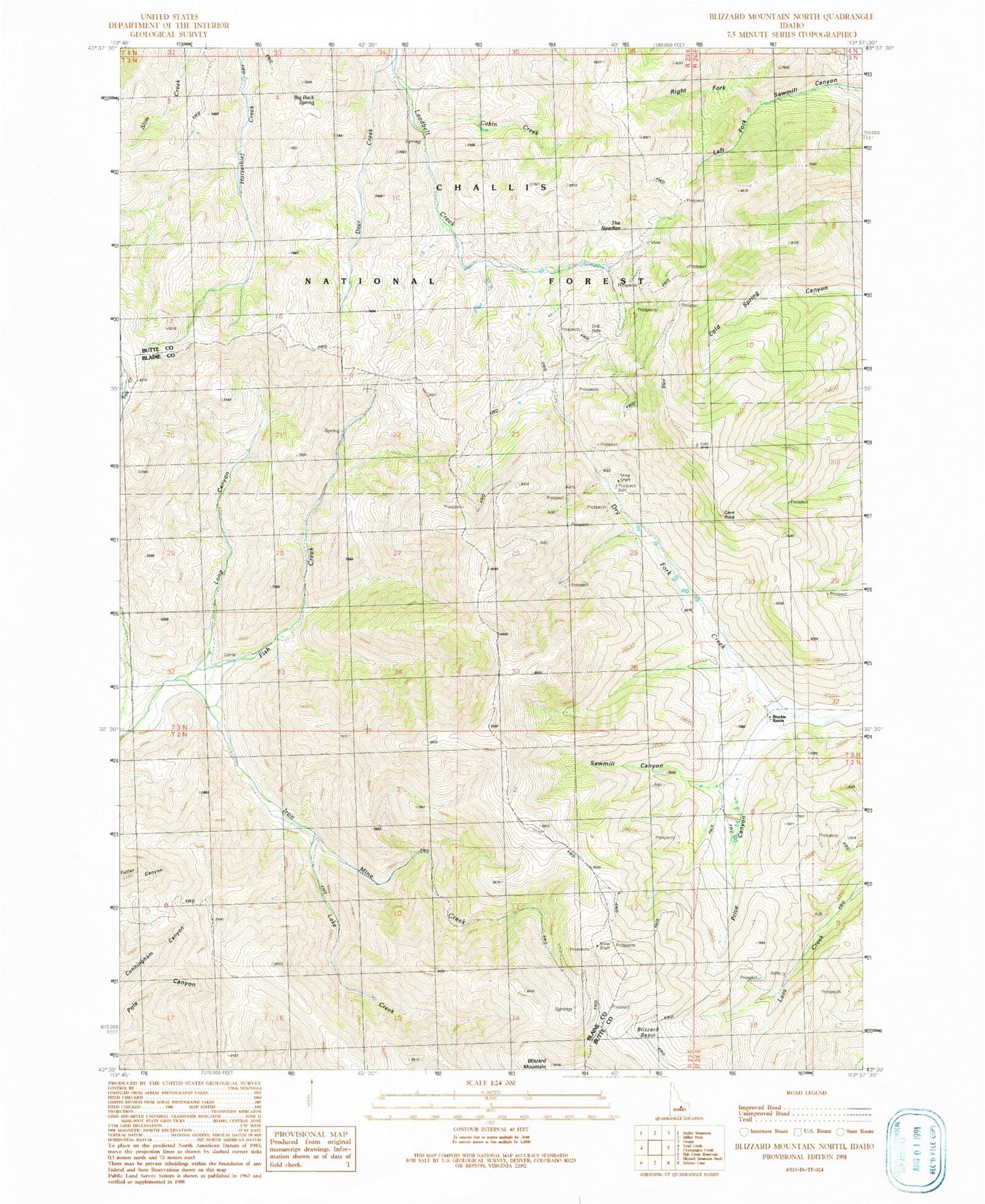
Historical USGS topographic quad map of Blizzard Mountain North in the state of Idaho. Typical map scale is 1:24,000, but may vary for certain years, if available. Print size: 24" x 27"
This quadrangle is in the following counties: Blaine, Butte.
The map contains contour lines, roads, rivers, towns, and lakes. Printed on high-quality waterproof paper with UV fade-resistant inks, and shipped rolled.
Contains the following named places: Big Buck Spring, Blizzard Basin, Brockie Ranch, Cabin Creek, Cave Rock, Deer Creek, Iron Mine Creek, Lake Creek, Long Canyon, Price Canyon, Right Fork Sawmill Canyon, The Needles, Tunnel Cabin, Sawmill Canyon, Sawmill Canyon, Left Fork Sawmill Canyon