MyTopo
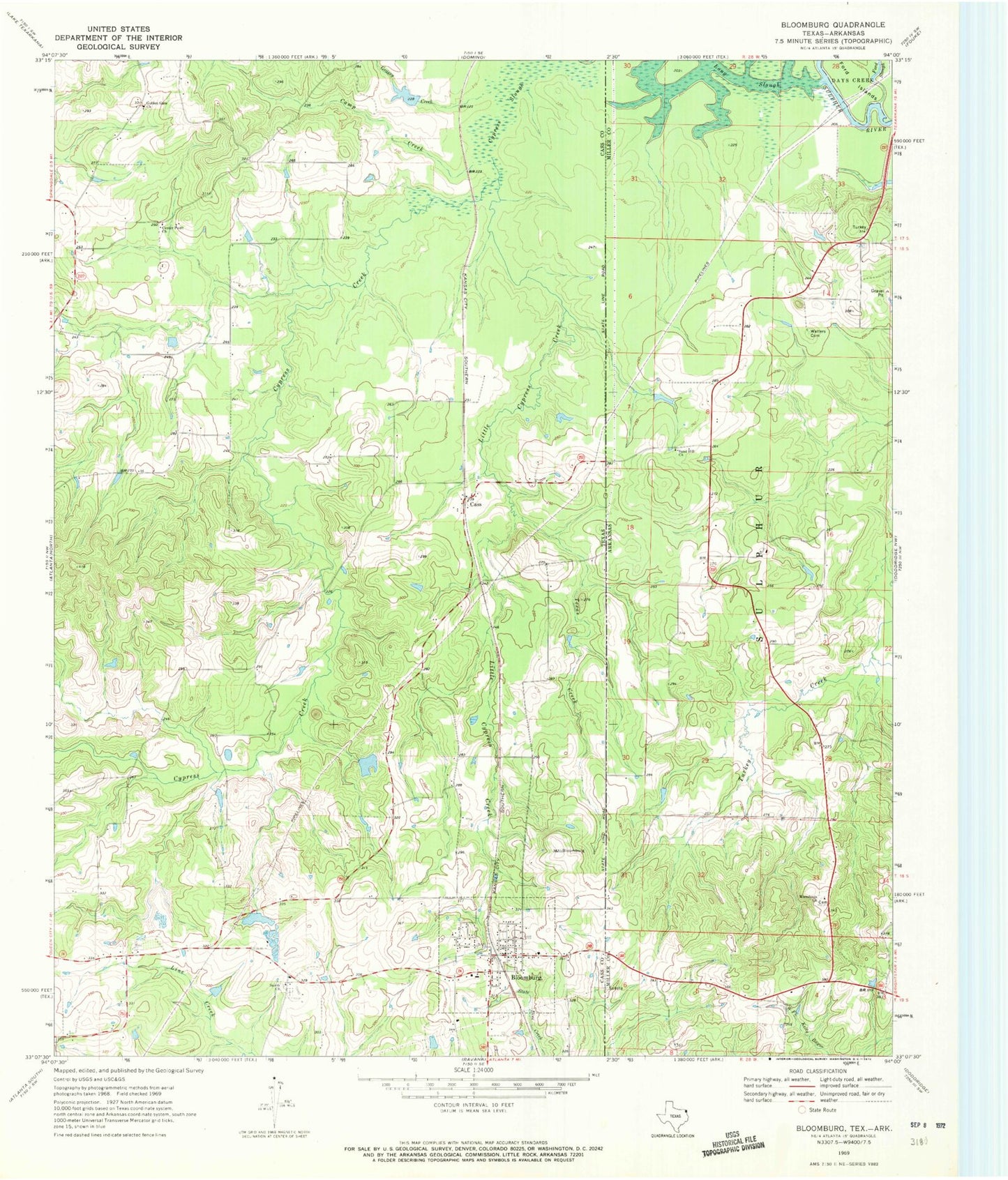
Classic USGS Bloomburg Texas 7.5'x7.5' Topo Map
Couldn't load pickup availability
Historical USGS topographic quad map of Bloomburg in the states of Texas, Arkansas. Map scale may vary for some years, but is generally around 1:24,000. Print size is approximately 24" x 27"
This quadrangle is in the following counties: Cass, Miller.
The map contains contour lines, roads, rivers, towns, and lakes. Printed on high-quality waterproof paper with UV fade-resistant inks, and shipped rolled.
Contains the following named places: Alex Smith Lake Dam, Bloomburg, Bloomburg City Hall, Bloomburg Post Office, Bloomburg Volunteer Fire Department, Camp Creek, Cass, Center Point Church, Cypress Creek, Golden Gate Church, Grassy Creek, International Paper Company Dam, Jefferson County Library, Literacy Depot, Little Cypress Creek, Long Slough, Long Slough Dam, Macedonia Church, Porterfield Lake, Porterfield Lake Dam, Salem Church, Sand Hill Church, Smith Lake, Supervisors Club Pond, Texas Creek, Town of Bloomburg, Town of Domino, Walters Cemetery, ZIP Code: 75556