MyTopo
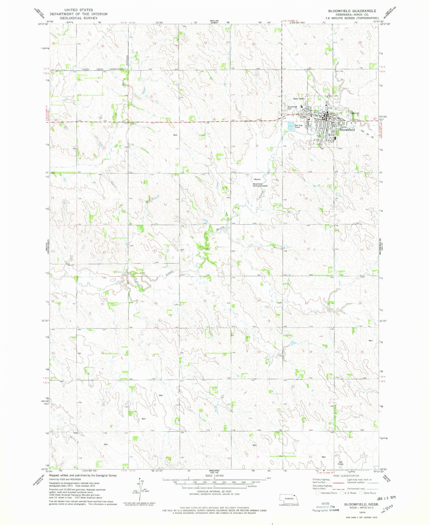
Classic USGS Bloomfield Nebraska 7.5'x7.5' Topo Map
Couldn't load pickup availability
Historical USGS topographic quad map of Bloomfield in the state of Nebraska. Map scale may vary for some years, but is generally around 1:24,000. Print size is approximately 24" x 27"
This quadrangle is in the following counties: Knox.
The map contains contour lines, roads, rivers, towns, and lakes. Printed on high-quality waterproof paper with UV fade-resistant inks, and shipped rolled.
Contains the following named places: Bloomfield, Bloomfield Ambulance Service, Bloomfield Cemetery, Bloomfield City Park, Bloomfield Dental Clinic, Bloomfield Elementary School, Bloomfield Fair Grounds, Bloomfield Fire Department - Bloomfield Rural Fire Department, Bloomfield Good Samaritan Center, Bloomfield Junior - Senior High School, Bloomfield Municipal Airport, Bloomfield Police Department, Bloomfield Post Office, Bloomfield Public Library, Bloomfield Trailer Court, Bloomfield Vision Clinic, Butte Creek Farmers Co-op Elevator, City of Bloomfield, First Trinity Lutheran Church, M G Waldbaum Company Elevator, Saint Andrews Catholic Church, Saint Marks Lutheran Church, Township of Morton, United Methodist Church