MyTopo
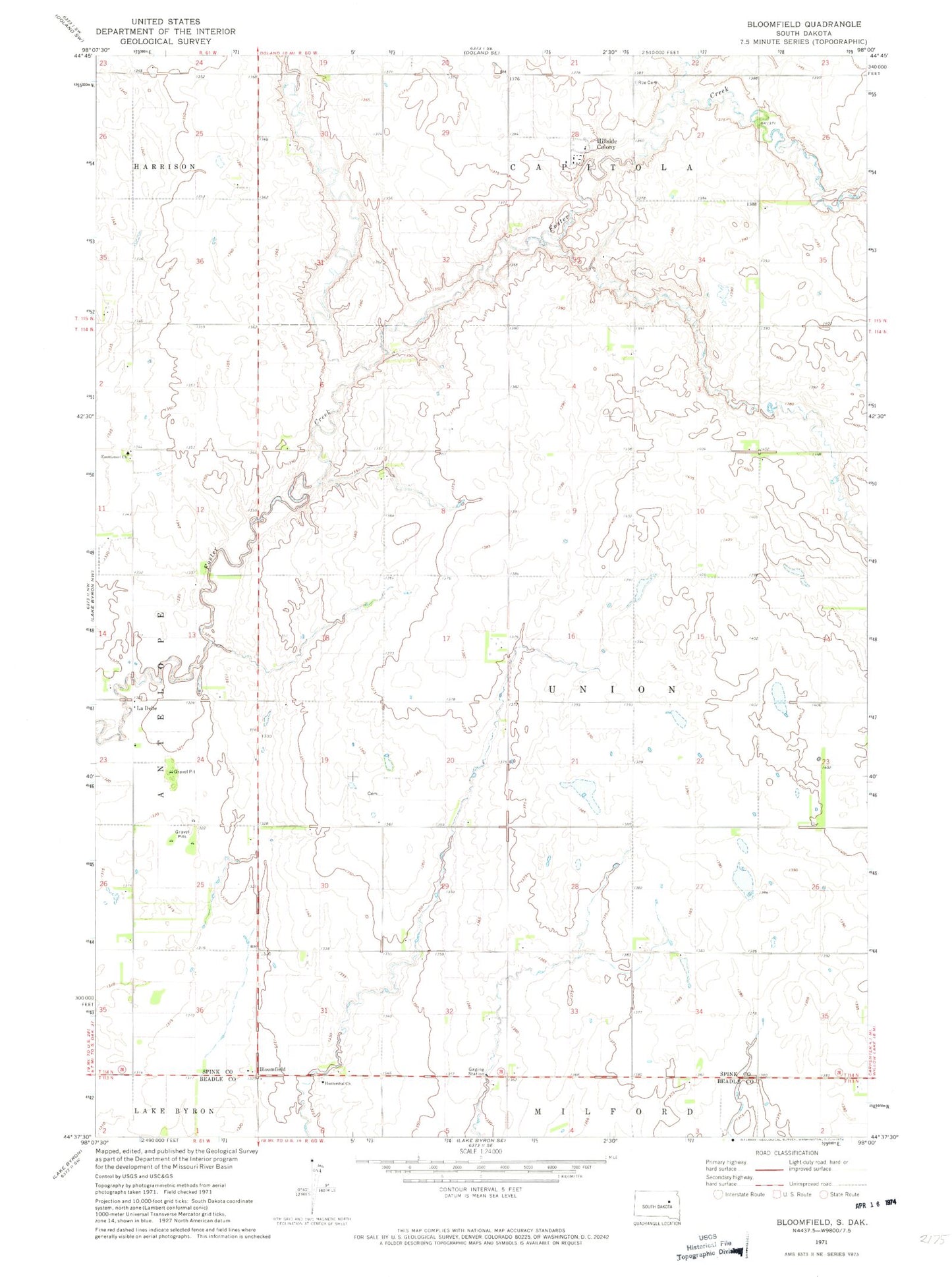
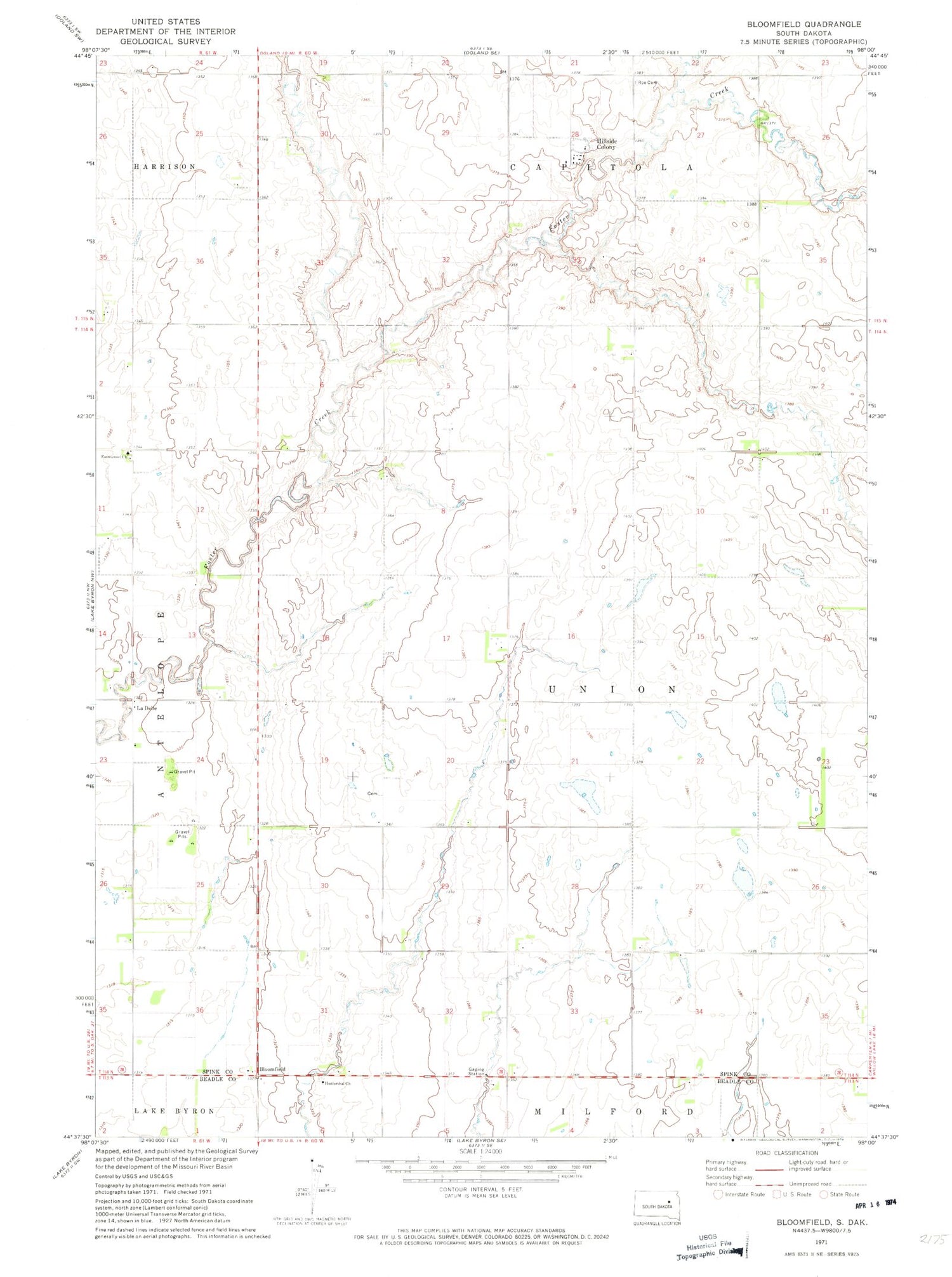
Classic USGS Bloomfield South Dakota 7.5'x7.5' Topo Map
Couldn't load pickup availability
Historical USGS topographic quad map of Bloomfield in the state of South Dakota. Map scale may vary for some years, but is generally around 1:24,000. Print size is approximately 24" x 27"
This quadrangle is in the following counties: Beadle, Spink.
The map contains contour lines, roads, rivers, towns, and lakes. Printed on high-quality waterproof paper with UV fade-resistant inks, and shipped rolled.
Contains the following named places: Bloomfield, Emmanuel Church, Emmanuel Mennonite Cemetery, Hillside Colony, Hillside Colony Cemetery, Hillside Colony Census Designated Place, Hillside Colony Elementary School, Hutterthal Church, LaDelle, Missionary Church Cemetery, Prairie Bible Church Cemetery, Roe Cemetery, Township of LaDelle, Township of Union