MyTopo
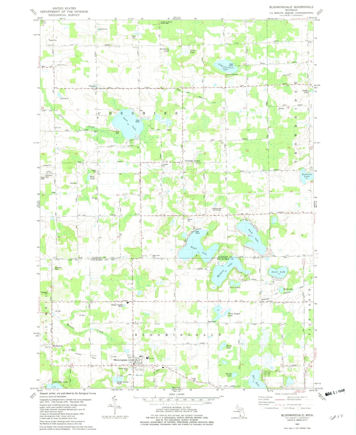
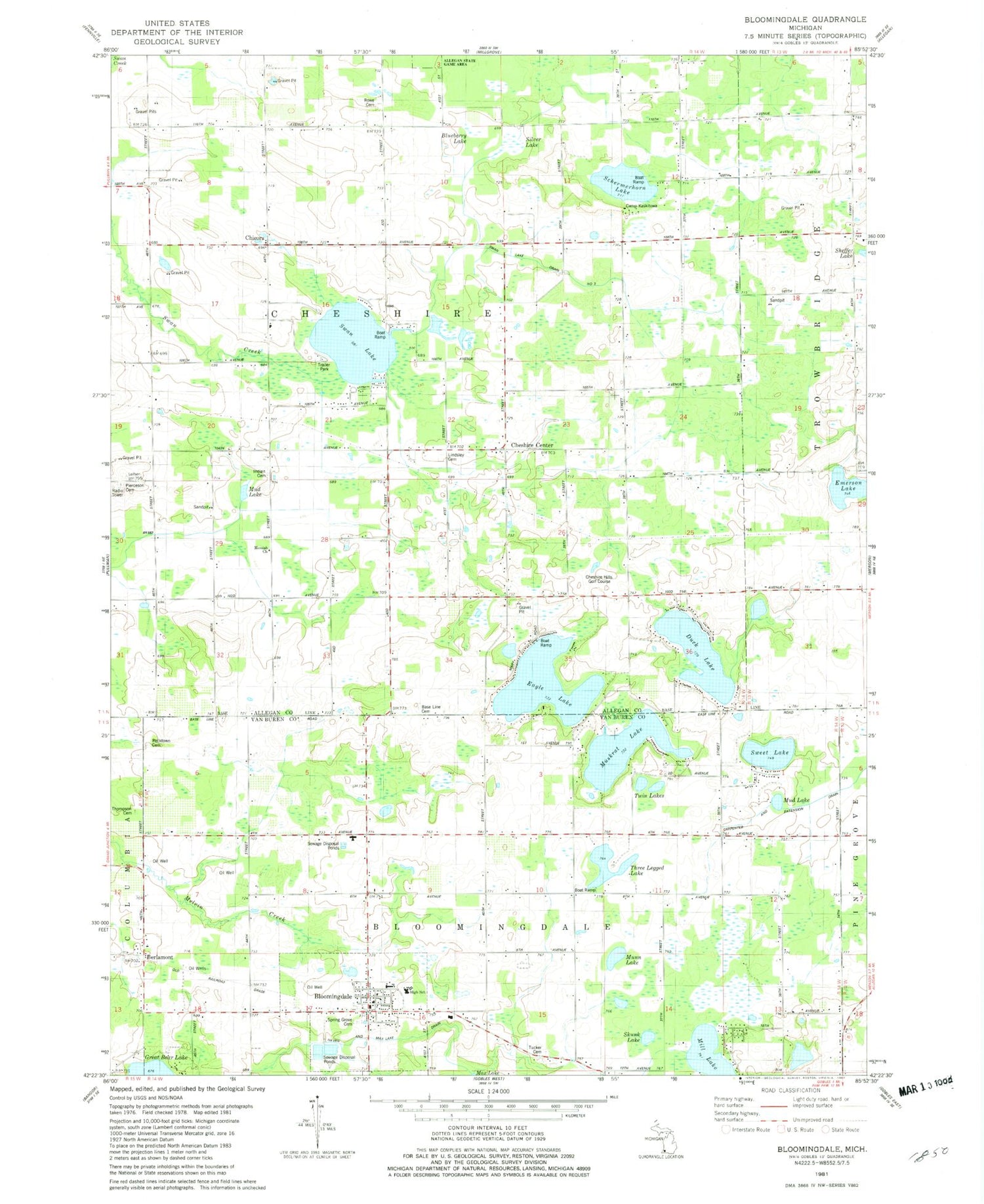
Classic USGS Bloomingdale Michigan 7.5'x7.5' Topo Map
Couldn't load pickup availability
Historical USGS topographic quad map of Bloomingdale in the state of Michigan. Map scale may vary for some years, but is generally around 1:24,000. Print size is approximately 24" x 27"
This quadrangle is in the following counties: Allegan, Van Buren.
The map contains contour lines, roads, rivers, towns, and lakes. Printed on high-quality waterproof paper with UV fade-resistant inks, and shipped rolled.
Contains the following named places: Base Line Cemetery, Base Line School, Berlamont, Berlamont Post Office, Berlamont Station, Bloomingdale, Bloomingdale Bible Church, Bloomingdale Christian Church, Bloomingdale Depot Historical Museum, Bloomingdale Elementary School, Bloomingdale High School, Bloomingdale Methodist Church, Bloomingdale Museum, Bloomingdale Police Department, Bloomingdale Post Office, Bloomingdale Public Library, Bloomingdale Station, Bloomingdale Township Fire Department, Blueberry Lake, Brown School, Camp Kaskitowa, Carpenter and Extension Drain, Cheshire Center, Cheshire Hills Golf Course, Chesire Hills Baptist Church, Chesire Post Office, Chicora, Chicora Country Chapel, Chicora Field, Chicora Pit, Chicora Post Office, Congregational Church of God, Duck Lake, Eagle Lake, Emerson Lake, Ferris School, Finley Faith Tabernacle Church, Giles Swanlake Campground, Healy School, Indian Cemetery, Kalamazoo and South Haven Railroad Historical Marker, Kal-Haven Trail State Park, Lindsley Cemetery, Lindsley School, Marble School, Messiah Church, Mill Lake, Moon School, Mud Lake, Munn Lake, Munn School, Muskrat Lake, Noble School, Pecktown Cemetery, Pierceson Cemetery, Rowe Cemetery, Rowe School, Schermerhorn Lake, Silver Lake, Skunk Lake, Spring Grove Cemetery, Swan Lake, Swan Lake Mobile Estates, Swan Lake Store and Campground, Sweet Lake, Thompson Cemetery, Three Legged Lake, Township of Bloomingdale, Township of Cheshire, Tucker Cemetery, Twin Lakes, Village of Bloomingdale, Wager School, ZIP Code: 49026


