MyTopo
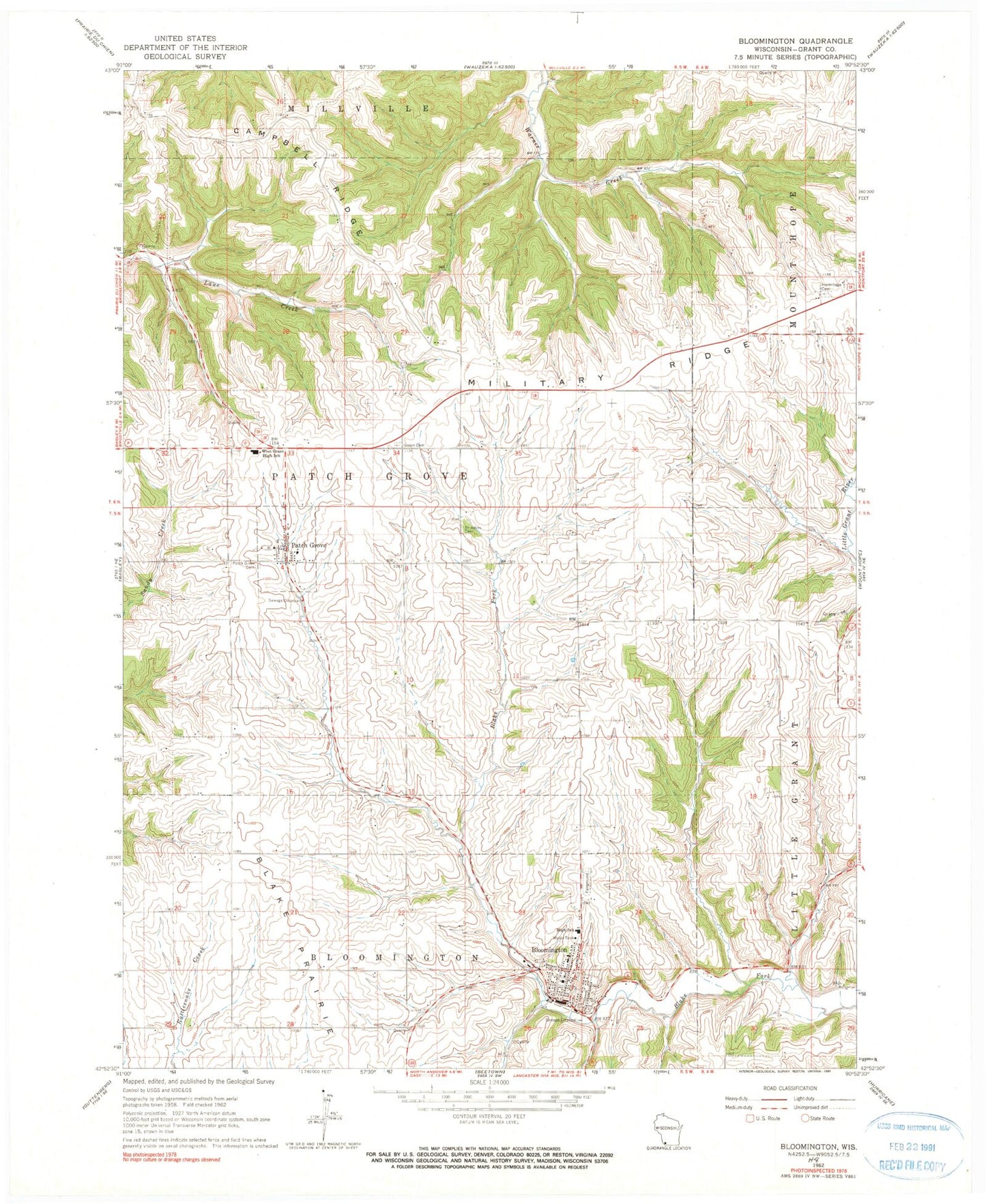
Classic USGS Bloomington Wisconsin 7.5'x7.5' Topo Map
Couldn't load pickup availability
Historical USGS topographic quad map of Bloomington in the state of Wisconsin. Map scale may vary for some years, but is generally around 1:24,000. Print size is approximately 24" x 27"
This quadrangle is in the following counties: Grant.
The map contains contour lines, roads, rivers, towns, and lakes. Printed on high-quality waterproof paper with UV fade-resistant inks, and shipped rolled.
Contains the following named places: Bloomington, Bloomington Fire Department, Bloomington Post Office, Breezy L Farms, Campbell Ridge, Finn Quarry, Hermitage Cemetery, Mac D Farms, Maryline Farm, Military Ridge, Moravits Farm, Patch Grove, Patch Grove Cemetery, Patch Grove Fire Department, Patch Grove Post Office, River Ridge Elementary School, River Ridge High School, River Ridge Middle School, Saint Johns Cemetery, Saint Mary's School, Town of Patch Grove, Union Cemetery, Village of Bloomington, Village of Patch Grove, West Grant Rescue Squad, Willowbrook Farm, ZIP Code: 53817