MyTopo
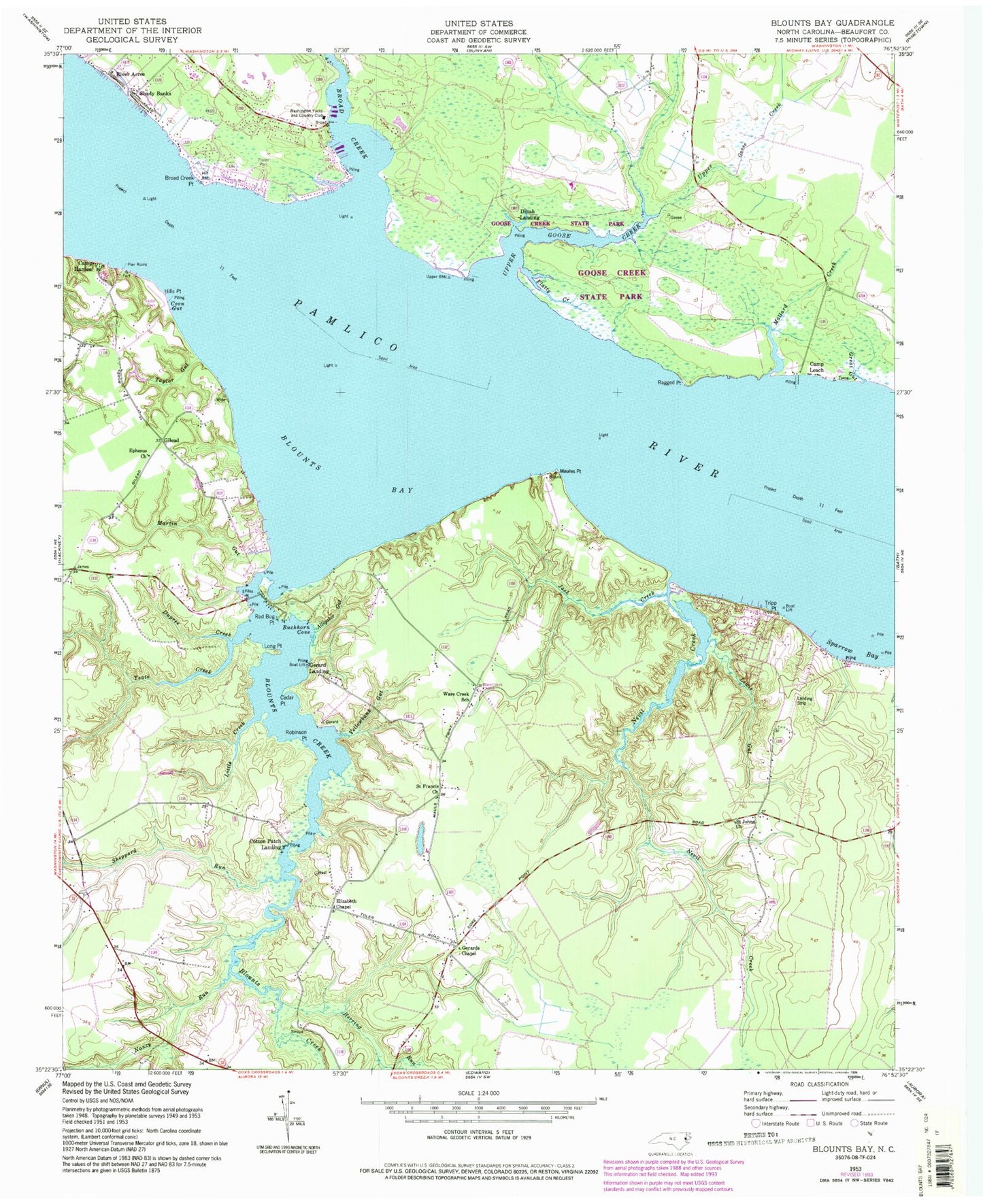
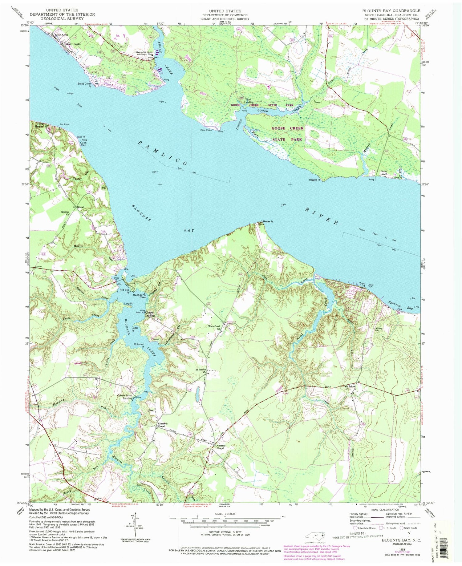
Classic USGS Blounts Bay North Carolina 7.5'x7.5' Topo Map
Couldn't load pickup availability
Historical USGS topographic quad map of Blounts Bay in the state of North Carolina. Typical map scale is 1:24,000, but may vary for certain years, if available. Print size: 24" x 27"
This quadrangle is in the following counties: Beaufort.
The map contains contour lines, roads, rivers, towns, and lakes. Printed on high-quality waterproof paper with UV fade-resistant inks, and shipped rolled.
Contains the following named places: Alligator Gut, Blounts Bay, Broad Creek, Broad Creek Point, Buckhorn Cove, Cedar Point, Coon Gut, Dupree Creek, Elizabeth Chapel, Ephesus Church, Flatty Creek, Gerards Chapel, Great Gut, Herring Run, Hills Point, Jack Creek, Lewis Gut, Little Creek, Long Point, Mallard Creek, Martin Gut, Maules Point, Nancy Run, Nevil Creek, Ragged Point, Red Bug Point, Robinson Point, Saint Francis Church, Saint Johns Church, Sheppard Run, Sparrow Bay, Taylor Gut, Tripp Point, Ware Creek School, Washington Yacht and Country Club, Yeats Creek, Yellowbank Gut, Gilead, Ware Creek Church, Blounts Creek Mill, Saint Union Church, Blounts Creek, Camp Hardee, Camp Leach, Cotton Patch Landing, Dinah Landing, Gerard Landing, River Acres, Shady Banks, Upper Goose Creek, McCotters Marina


