MyTopo
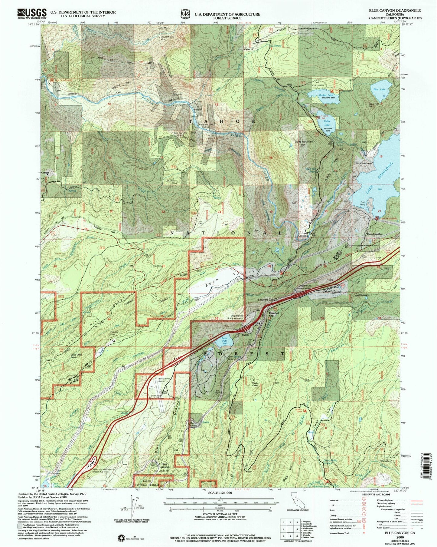
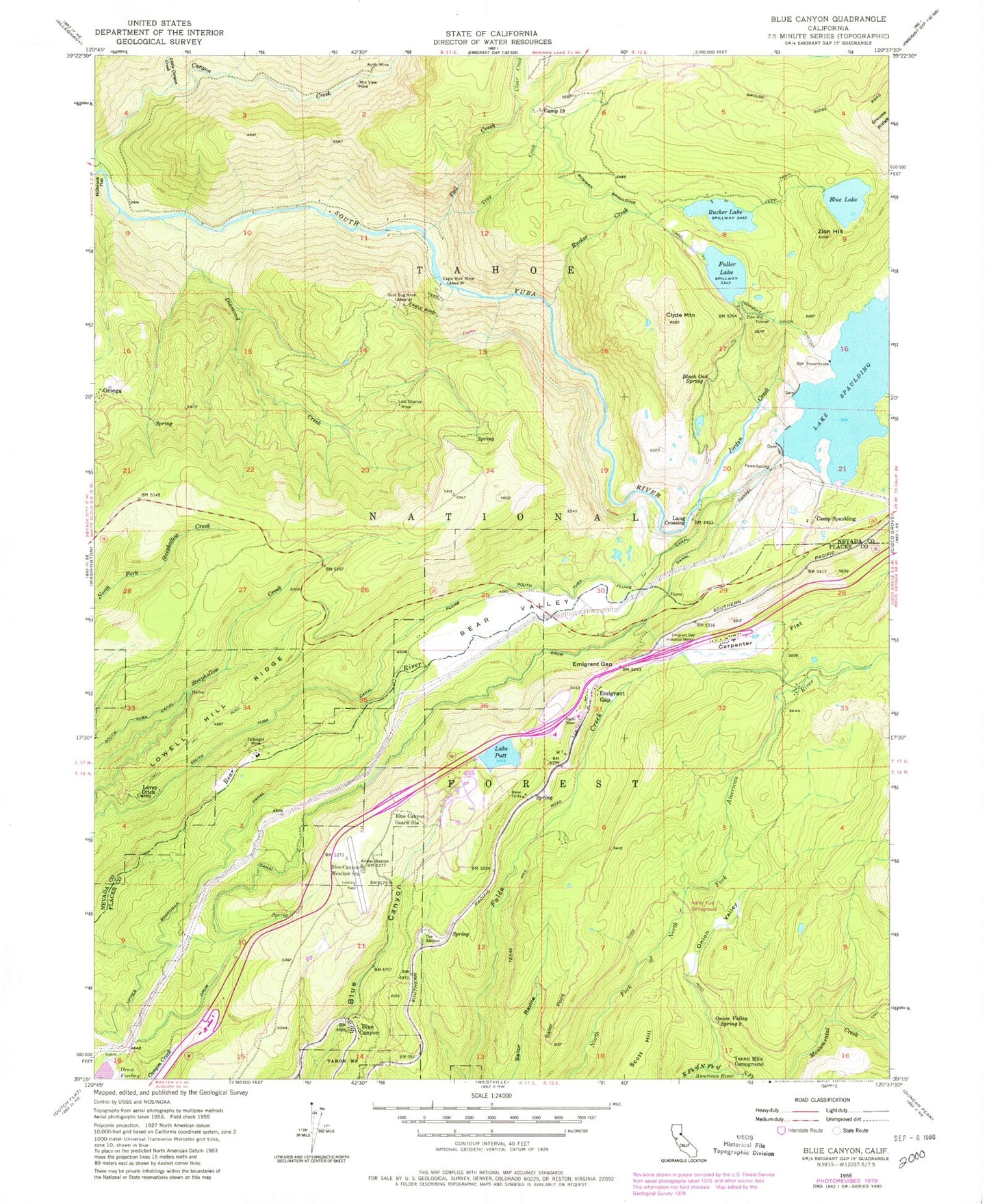
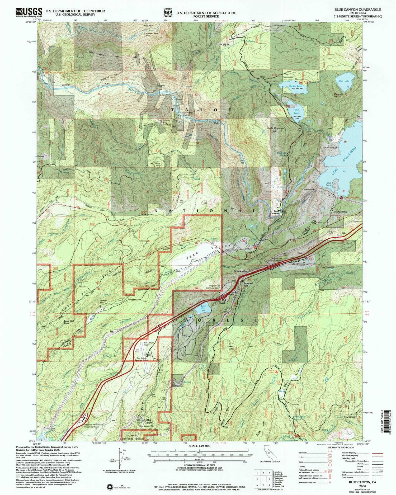
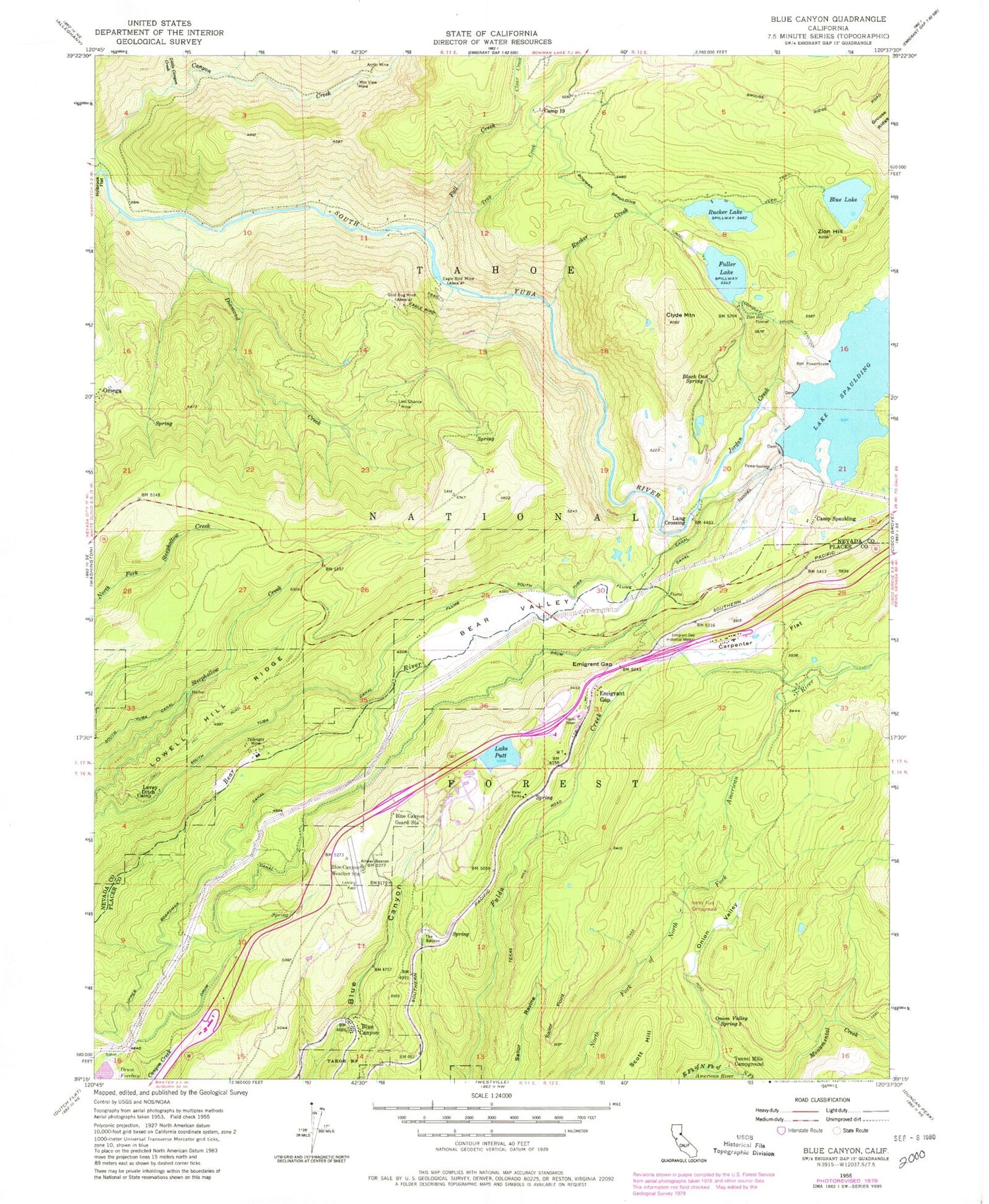
Classic USGS Blue Canyon California 7.5'x7.5' Topo Map
Couldn't load pickup availability
Historical USGS topographic quad map of Blue Canyon in the state of California. Typical map scale is 1:24,000, but may vary for certain years, if available. Print size: 24" x 27"
This quadrangle is in the following counties: Nevada, Placer.
The map contains contour lines, roads, rivers, towns, and lakes. Printed on high-quality waterproof paper with UV fade-resistant inks, and shipped rolled.
Contains the following named places: Arctic Mine, Bear Valley, Black Oak Spring, Blue Canyon, Blue Canyon Guard Station, Blue Canyon Weather Station, Blue Lake, Camp Nineteen, Carpenter Flat, Clear Creek, Clyde Mountain, Diamond Creek, Drum Canal, Eagle Bird Mine, Eagle Bird Trail, Emigrant Gap, Emigrant Gap Historical Marker, Fall Creek, Fuller Lake, Gold Bug Mine, Jordan Creek, Last Chance Mine, Levey Ditch Camp, Little Canyon Creek, Lowell Hill Ridge, Monumental Creek Trail, Mountain View Mine, Onion Valley, Onion Valley Spring Two, Lake Putt, Rucker Creek, Rucker Lake, Sailor Point, Bowman-Spaulding Conduit Flume, South Yuba Canal, Lake Spaulding, The Balloon, Trap Creek, Tunnel Mills Campground, Zeibright Mine, Zion Hill, Zion Hill Tunnel, Golden Quartz Picnic Area, Fuller Lake Campground, Bear Valley Campground, Lake Spaulding Campground, Emigrant Gap Scenic Viewpoint, Blue Canyon - Nyack Airport, Rim Powerhouse, Camp Spaulding, Emigrant Gap, Omega, Scott Hill, Blue Canyon Post Office, IDS Organization, Blue Lake 97-012 Dam, Fuller Lake 97-021 Dam, Lake Spaulding 97-029 Dam, Rucker Lake 97-044 Dam, Putts Lake 311-004 Dam, North Fork Campground, Bear Valley (historical), Eagle Bird (historical), Lang Crossing, Langs (historical), Maybert (historical), Putnam Valley, Emigrant Gap Elementary School, Omega Cemetery


