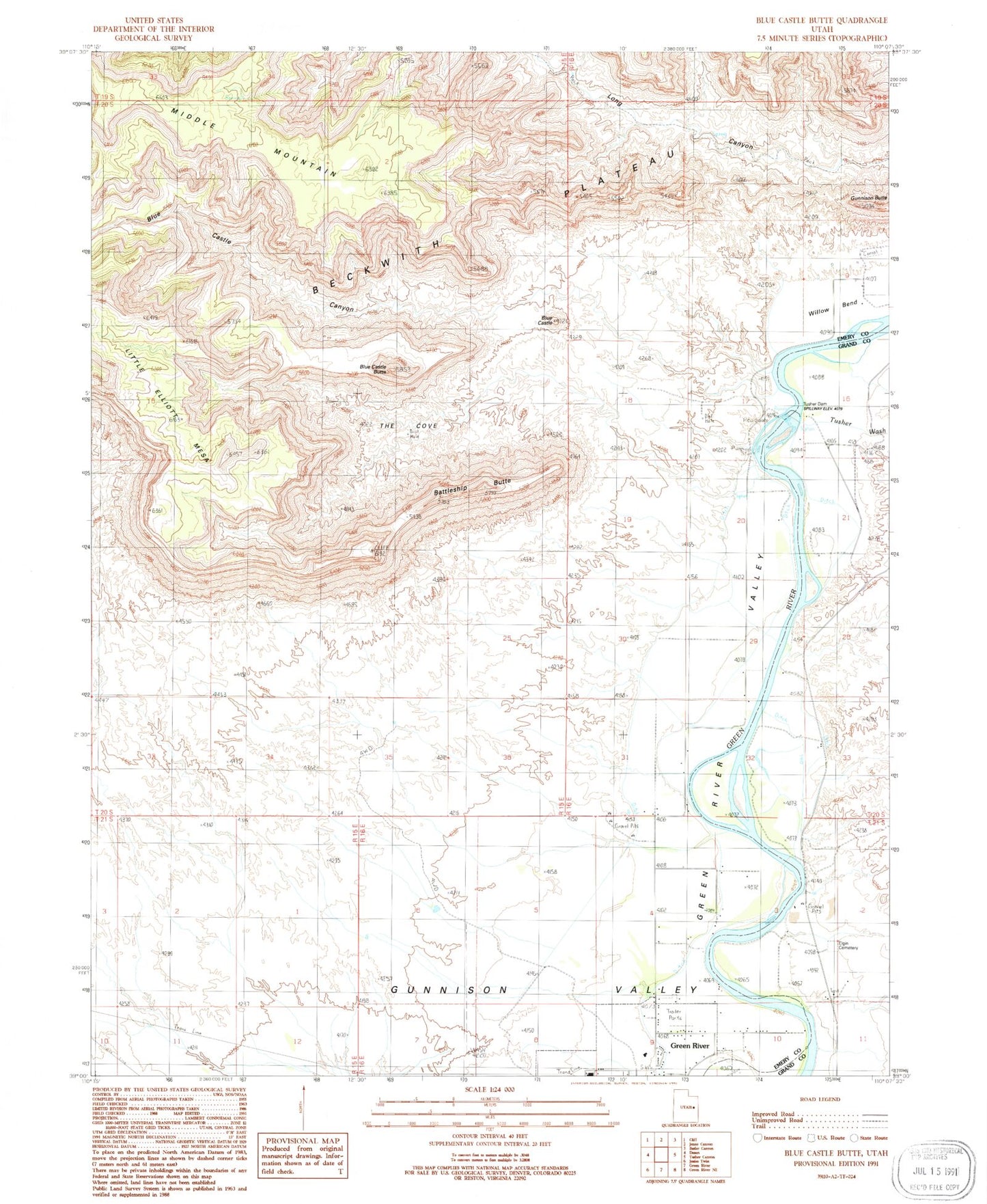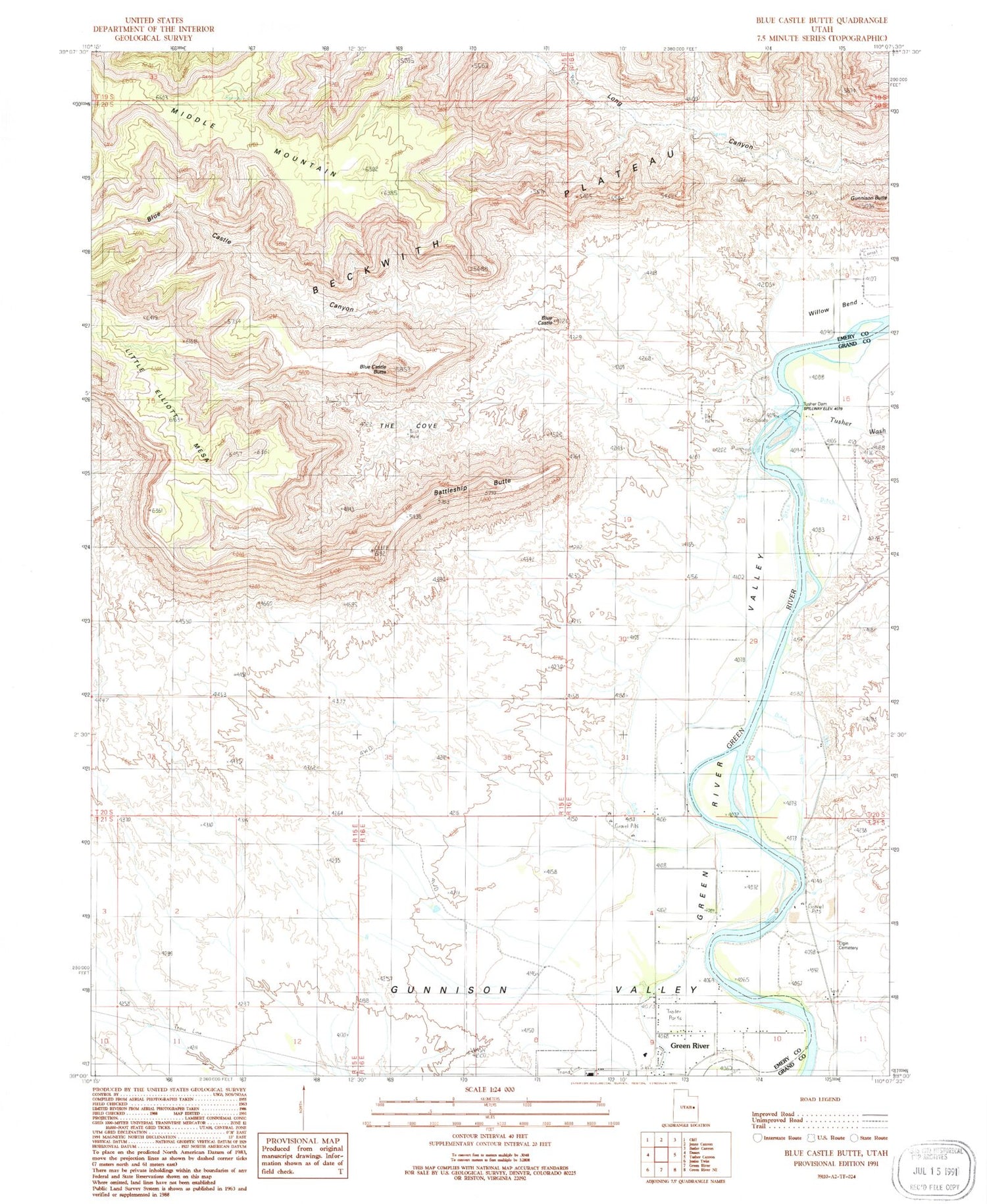
MyTopo
Classic USGS Blue Castle Butte Utah 7.5'x7.5' Topo Map
Regular price
$16.95
Regular price
Sale price
$16.95
Unit price
per
Couldn't load pickup availability
Historical USGS topographic quad map of Blue Castle Butte in the state of Utah. Map scale may vary for some years, but is generally around 1:24,000. Print size is approximately 24" x 27"
This quadrangle is in the following counties: Emery, Grand.
The map contains contour lines, roads, rivers, towns, and lakes. Printed on high-quality waterproof paper with UV fade-resistant inks, and shipped rolled.
Contains the following named places: Battleship Butte, Blue Castle, Blue Castle Butte, Blue Castle Canyon, Calf Mesa, Elgin Cemetery, Green River High School, Little Elliott Mesa, The Cove, Tusher Wash, Willow Bend