MyTopo
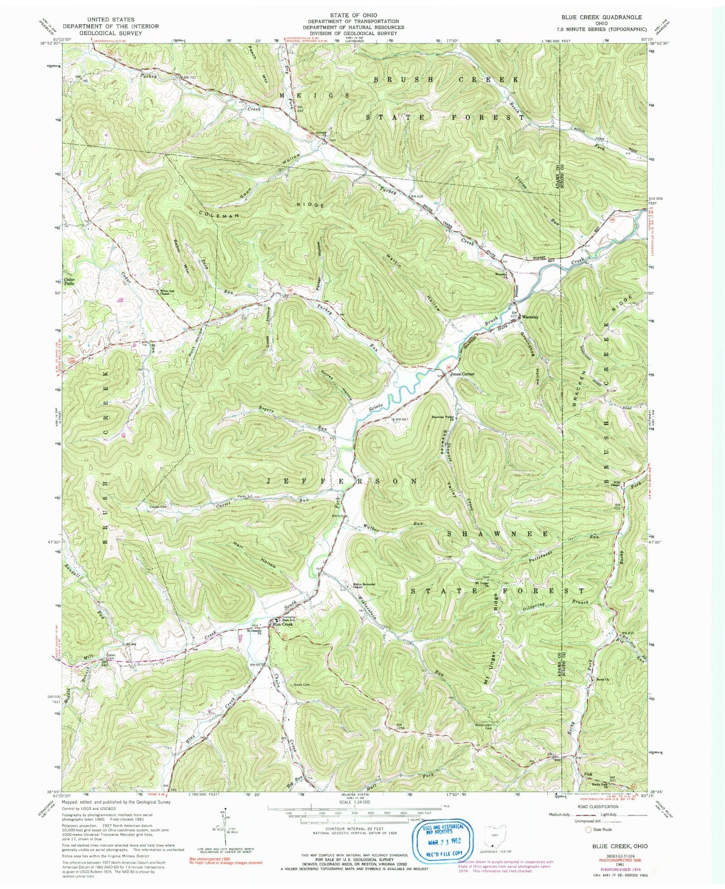
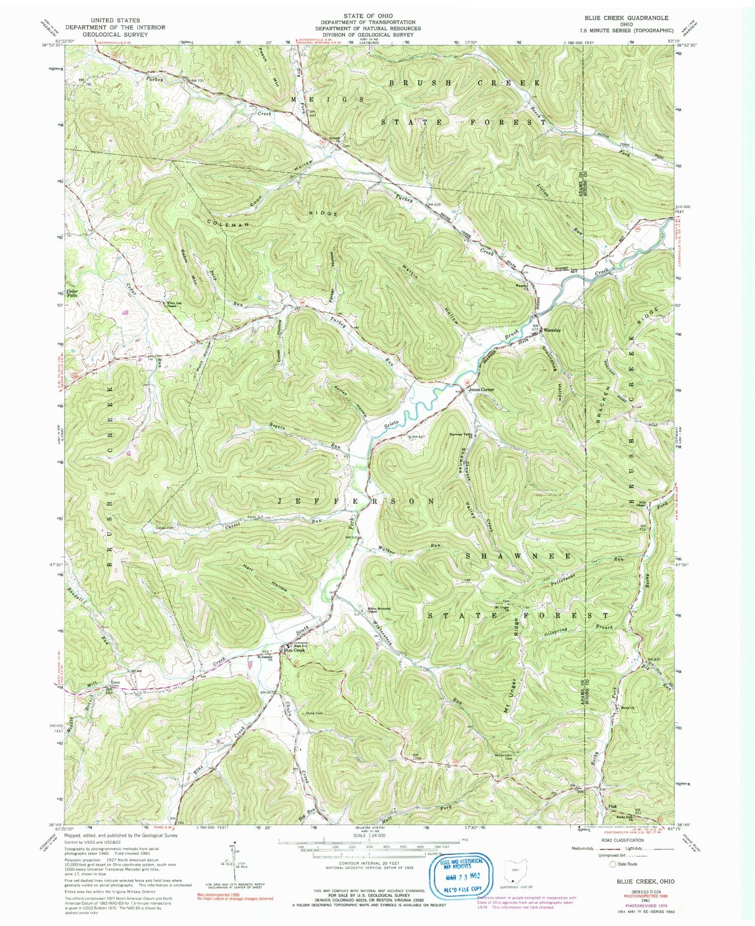
Classic USGS Blue Creek Ohio 7.5'x7.5' Topo Map
Couldn't load pickup availability
Historical USGS topographic quad map of Blue Creek in the state of Ohio. Typical map scale is 1:24,000, but may vary for certain years, if available. Print size: 24" x 27"
This quadrangle is in the following counties: Adams, Scioto.
The map contains contour lines, roads, rivers, towns, and lakes. Printed on high-quality waterproof paper with UV fade-resistant inks, and shipped rolled.
Contains the following named places: Antioch Church, Berea Church, Big Run, Big Run, Blue Creek, Bracken Ridge, Cassel Cemetery, Cassel Run, Churn Creek, Coleman Ridge, Coon Hollow, Copas Cemetery, Cross Hollow, Deep Run, Drake Cemetery, Dry Fork, Groundhog Hollow, Hall Hollow, Hills Chapel, Hog Run, Hunt Hollow, Liston Run, Martin Hollow, Middle Branch Mill Creek, Mill Creek, Moors Memorial Chapel, Mount Unger Church, Mount Unger Ridge, Oilspring Branch, Pattersons Run, Rocky Fork Church, Saint Josephs Church, Shawnee Creek, Shawnee Valley, Shawnee Valley Church, Spires Hollow, Turkey Creek, Turkey Run, Walker Run, Wamsley Church, White Oak Chapel, Winterstein Cemetery, Winterstein Run, Behm Mountain, Berea School (historical), Antioch School (historical), Beech Fork School (historical), Caraway School (historical), Cassel School (historical), Laurel Run, Mil School (historical), Mount Unger School (historical), Rogers Hollow, Shawnee School (historical), White Oak School (historical), Winterstein School (historical), Rogers Run, Blue Creek, Jones Corner, Pink, Wamsley, Cassel Run, Randall Run, Middle Branch, Jefferson Elementary School, Township of Jefferson, Antioch Cemetery, Moores Chapel Cemetery, Mount Unger Cemetery, Wamsley Cemetery, White Oak Cemetery, Blue Creek Post Office (historical), Blue Creek Post Office, Berea Cemetery, Jefferson Township Volunteer Fire Department


