MyTopo
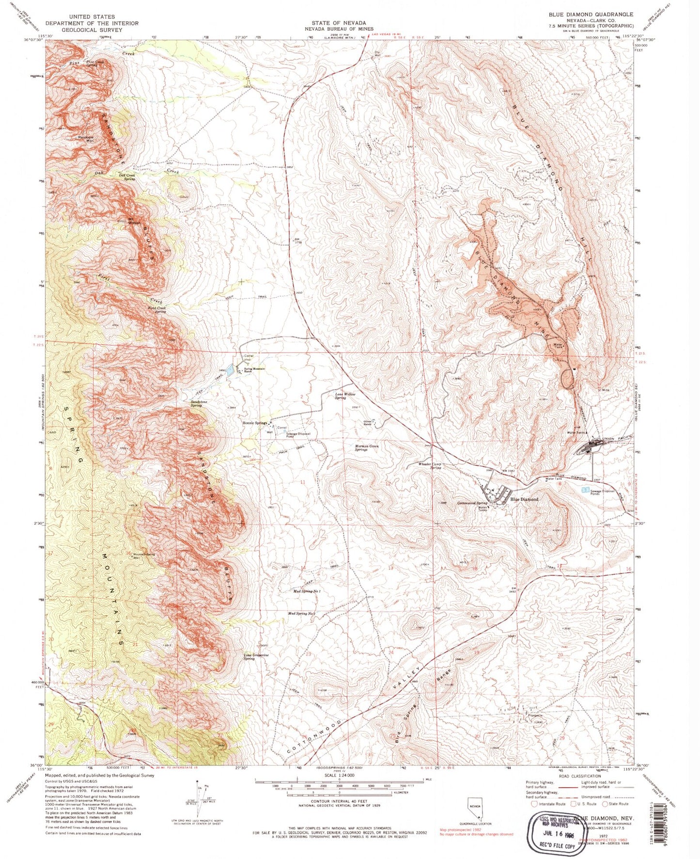
Classic USGS Blue Diamond Nevada 7.5'x7.5' Topo Map
Couldn't load pickup availability
Historical USGS topographic quad map of Blue Diamond in the state of Nevada. Typical map scale is 1:24,000, but may vary for certain years, if available. Print size: 24" x 27"
This quadrangle is in the following counties: Clark.
The map contains contour lines, roads, rivers, towns, and lakes. Printed on high-quality waterproof paper with UV fade-resistant inks, and shipped rolled.
Contains the following named places: Blue Diamond Hill, Blue Diamond Mine, Cottonwood Valley, First Creek, First Creek Spring, Lone Grapevine Spring, Lone Willow Spring, Mud Spring Number Two, Oak Creek, Oak Creek Spring, Oliver Ranch, Pine Creek, Pine Creek Spring, Sandstone Spring, Mount Wilson, Rainbow Mountain, Mud Spring Number One, Spring Mountain Ranch, Blue Diamond, Cottonwood Spring, Mormon Green Springs, White Rock Reservoir, Point Spring, Crystal Tank, Blue Diamond Mill, Wheeler Camp Spring, Red Rock Canyon National Conservation Area, Blue Diamond Elementary School, Spring Mountain Ranch State Park, Sandstone Canyon, Red Rock Dedication Site, Shovel Spring, Moonshine Spring, Bonnie Springs, Rose Tank (historical), Blue Diamond Post Office, Old Nevada Village Rural Station Post Office, Blue Diamond Census Designated Place, Clark County Fire Department Station 80, Blue Diamond Park