MyTopo
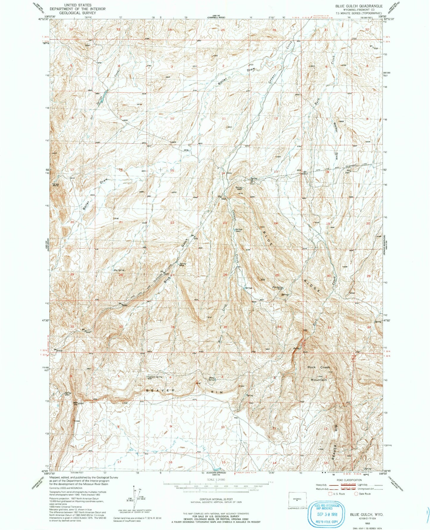
Classic USGS Blue Gulch Wyoming 7.5'x7.5' Topo Map
Couldn't load pickup availability
Historical USGS topographic quad map of Blue Gulch in the state of Wyoming. Map scale may vary for some years, but is generally around 1:24,000. Print size is approximately 24" x 27"
This quadrangle is in the following counties: Fremont.
The map contains contour lines, roads, rivers, towns, and lakes. Printed on high-quality waterproof paper with UV fade-resistant inks, and shipped rolled.
Contains the following named places: Alkali Butte Mine, Blue Gulch, Blue Ridge, Boiler Draw, Cocharn Mine, Cogswell Spring, Connant Creek Mine, Coohow Number One Mine, Groveland Number One Mine, Keg Spring, Moone Creek, Moone Spring, Nose Number One and Butch Number Two Mine, Oil Mountain Number One Mine, Pipe Spring, Rock Creek Mountain, Strubel Number Fourteen-A Mine, Walker Draw