MyTopo
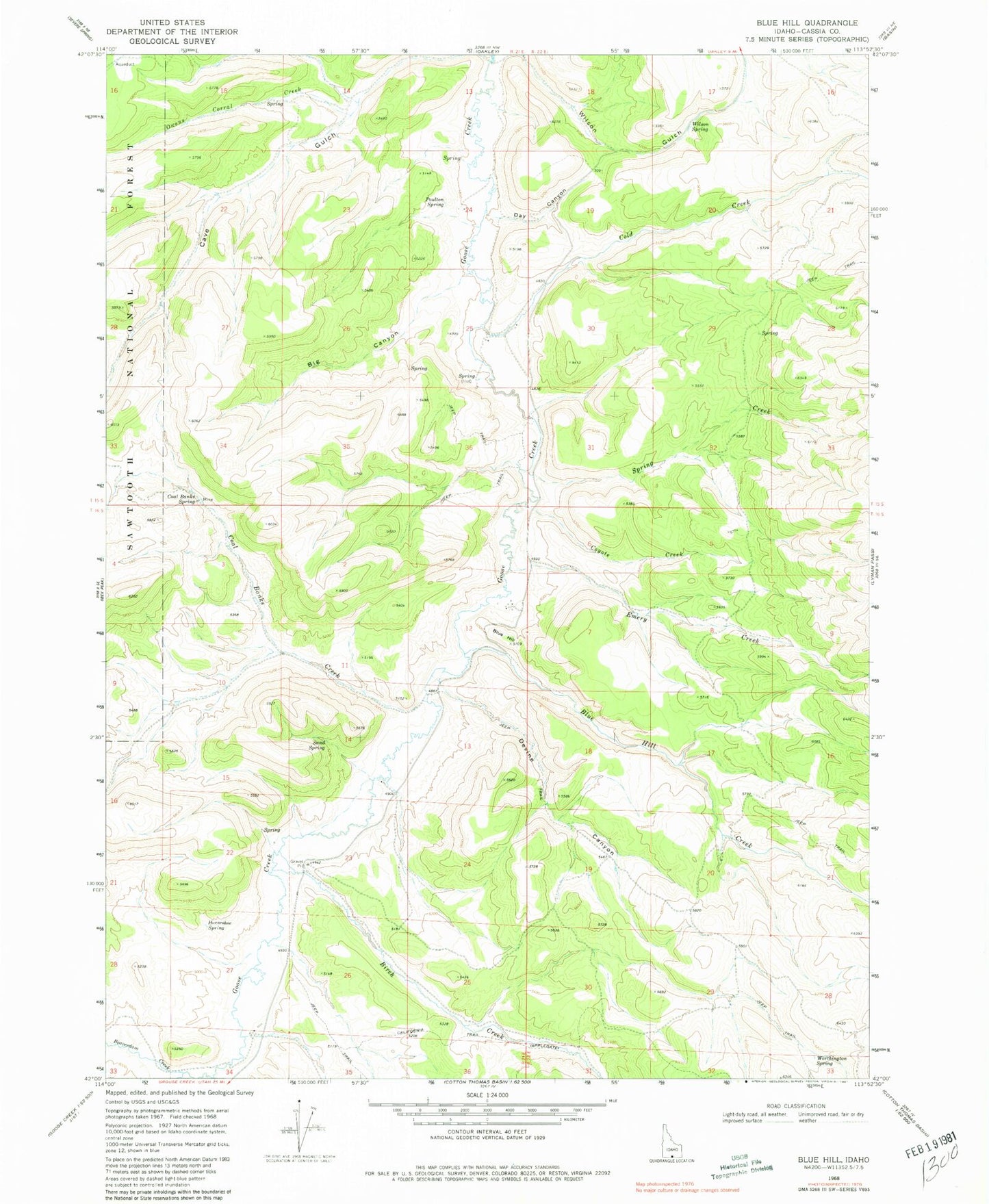
Classic USGS Blue Hill Idaho 7.5'x7.5' Topo Map
Couldn't load pickup availability
Historical USGS topographic quad map of Blue Hill in the state of Idaho. Map scale may vary for some years, but is generally around 1:24,000. Print size is approximately 24" x 27"
This quadrangle is in the following counties: Cassia.
The map contains contour lines, roads, rivers, towns, and lakes. Printed on high-quality waterproof paper with UV fade-resistant inks, and shipped rolled.
Contains the following named places: Big Canyon, Birch Creek, Blue Hill, Blue Hill Creek, California Trail, Cave Gulch, Coal Banks Creek, Coal Banks Spring, Cold Creek, Coyote Creek, Day Canyon, Devine Canyon, Emery Creek, Horseshoe Spring, Owens Corral Creek, Poulton Spring, Sand Spring, Spring Creek, Wilson Gulch, Wilson Spring, Worthington Spring