
MyTopo
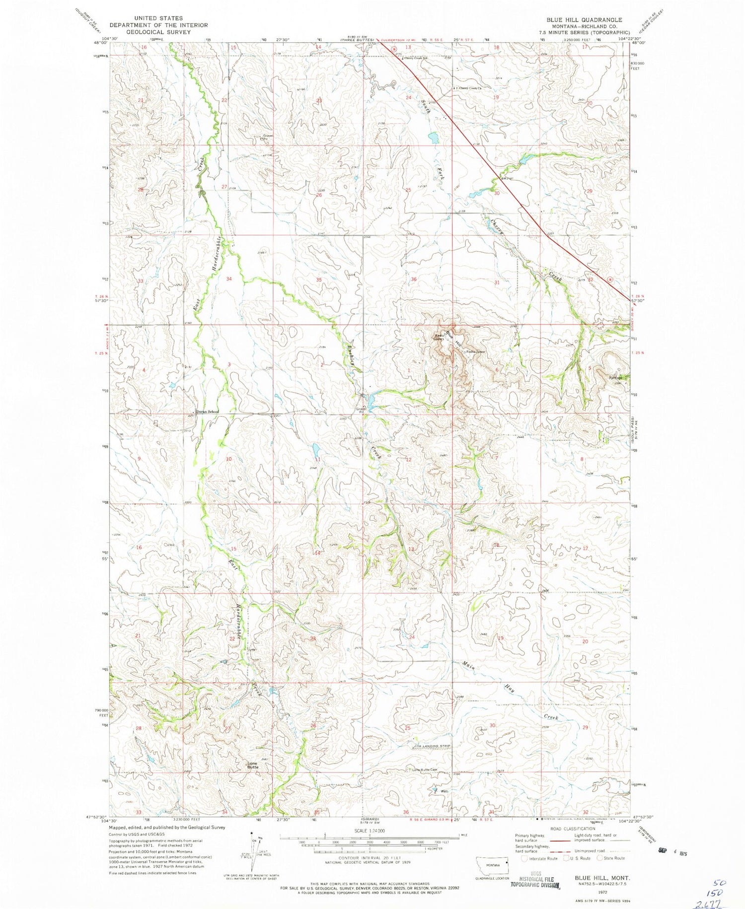
Classic USGS Blue Hill Montana 7.5'x7.5' Topo Map
Couldn't load pickup availability
Historical USGS topographic quad map of Blue Hill in the state of Montana. Map scale may vary for some years, but is generally around 1:24,000. Print size is approximately 24" x 27"
This quadrangle is in the following counties: Richland.
The map contains contour lines, roads, rivers, towns, and lakes. Printed on high-quality waterproof paper with UV fade-resistant inks, and shipped rolled.
Contains the following named places: 25N56E11BAAB01 Well, 25N57E08AAC_01 Well, 25N57E29AAAD01 Well, 26N56E24DACA01 Well, Antelope Creek, Arthur Dam, Blue Hill, Buckley Creek, Buckley Dam, Cherry Coulee, Cherry Creek Cemetery, Cherry Creek Church, Cherry Creek School, Doran School, Glendenning School, Lone Butte, Lone Butte Cemetery, Nile Post Office, Palmers Creek, T Hackley Number 1 Dam, Wick Landing Strip


