MyTopo
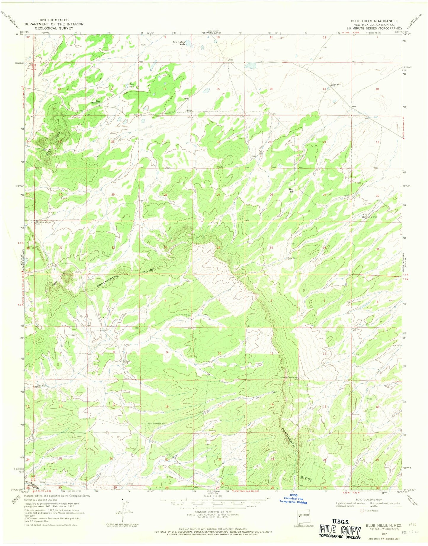
Classic USGS Blue Hills New Mexico 7.5'x7.5' Topo Map
Regular price
$16.95
Regular price
Sale price
$16.95
Unit price
per
Couldn't load pickup availability
Historical USGS topographic quad map of Blue Hills in the state of New Mexico. Map scale may vary for some years, but is generally around 1:24,000. Print size is approximately 24" x 27"
This quadrangle is in the following counties: Catron.
The map contains contour lines, roads, rivers, towns, and lakes. Printed on high-quality waterproof paper with UV fade-resistant inks, and shipped rolled.
Contains the following named places: Blue Hills, Flood Homestead, Flood Tank, Giles Well, Julian Well, King School, McKillvie Wells, McPhaul Ranch, McPhual, Mesa Well, San Antone Lake, Sidwell, Taylor Hills, Top of the Mesa Well, Under the Mesa Well, West Hubbell Tank