MyTopo
Classic USGS Blue Hole Springs Texas 7.5'x7.5' Topo Map
Regular price
$16.95
Regular price
Sale price
$16.95
Unit price
per
Couldn't load pickup availability
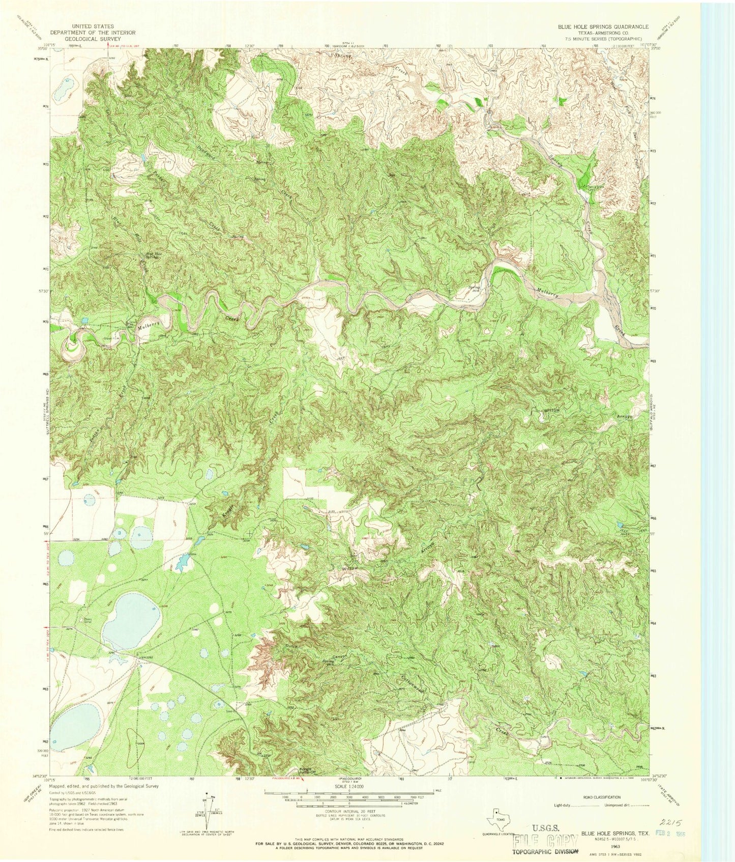
Historical USGS topographic quad map of Blue Hole Springs in the state of Texas. Map scale may vary for some years, but is generally around 1:24,000. Print size is approximately 24" x 27"
This quadrangle is in the following counties: Armstrong.
The map contains contour lines, roads, rivers, towns, and lakes. Printed on high-quality waterproof paper with UV fade-resistant inks, and shipped rolled.
Contains the following named places: Blue Hole Creek, Blue Hole Springs, Deadwood Creek, Dutch Canyon, Indian Creek, Koogle Creek, Koogle Jump-Off, Parker Creek, Plains Corral, Spring Creek