
MyTopo
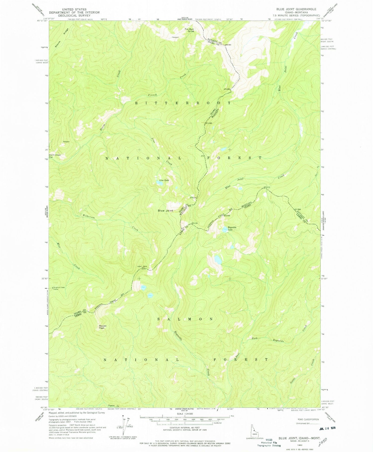
Classic USGS Blue Joint Idaho 7.5'x7.5' Topo Map
Regular price
$16.95
Regular price
Sale price
$16.95
Unit price
per
Couldn't load pickup availability
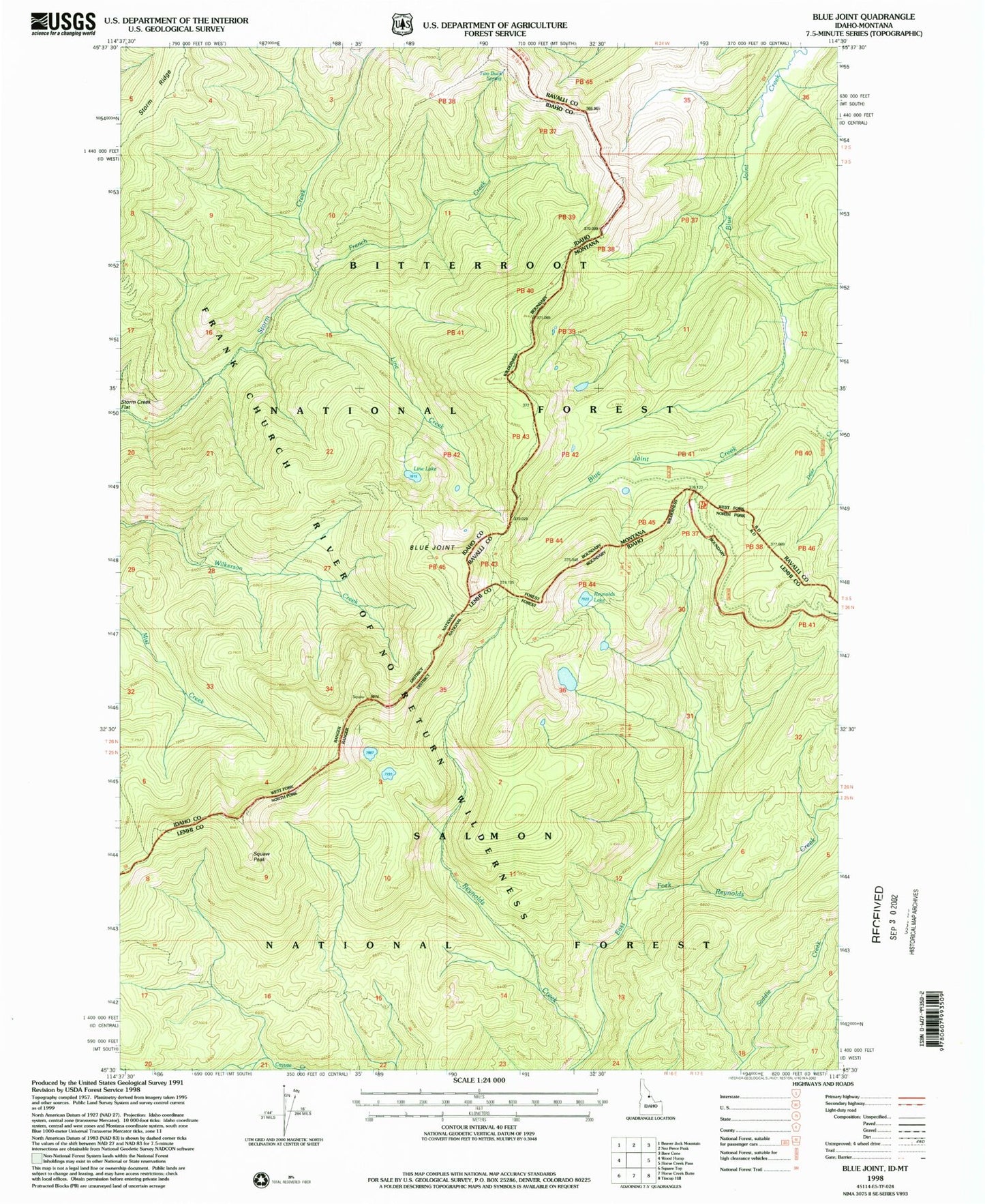
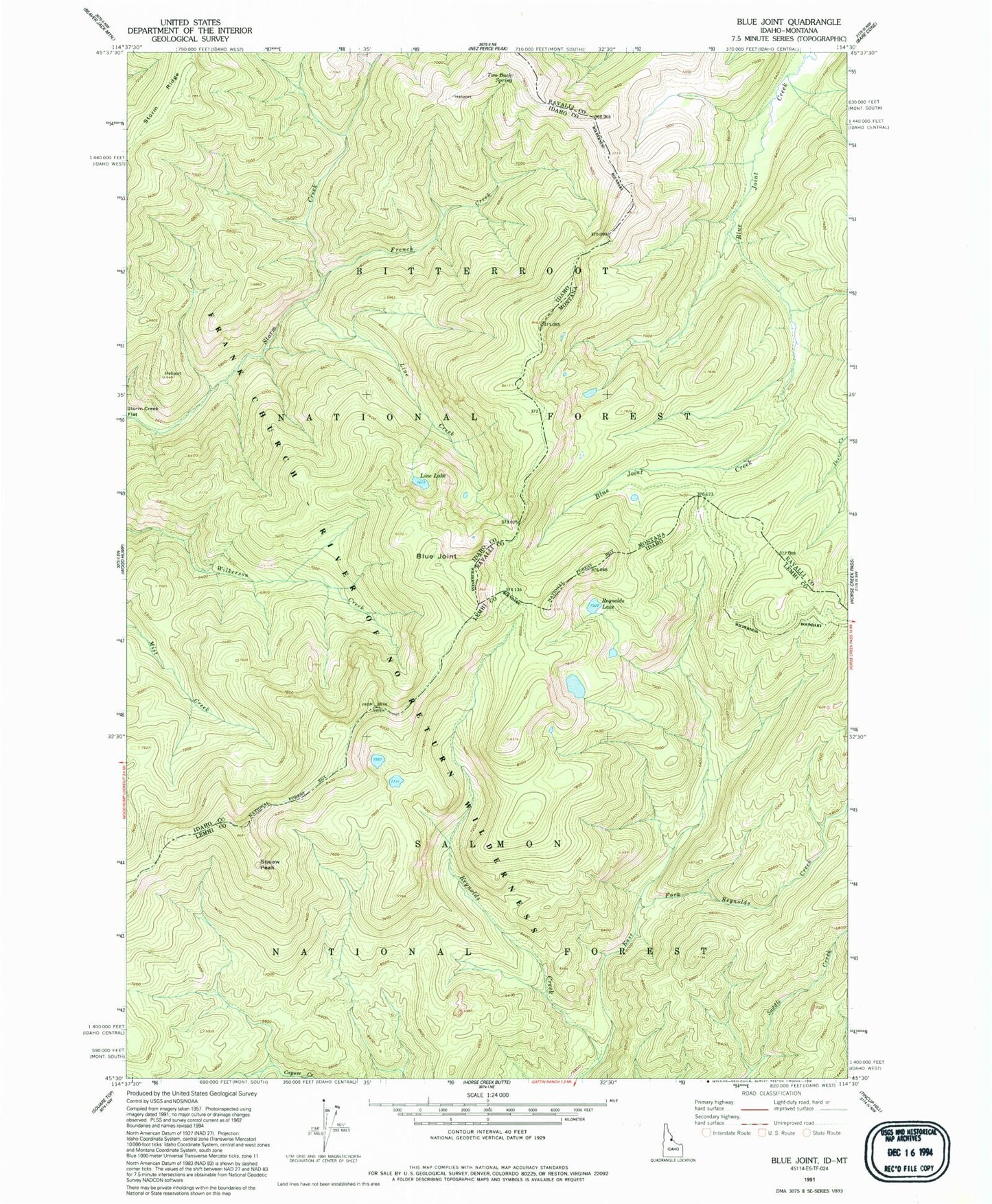
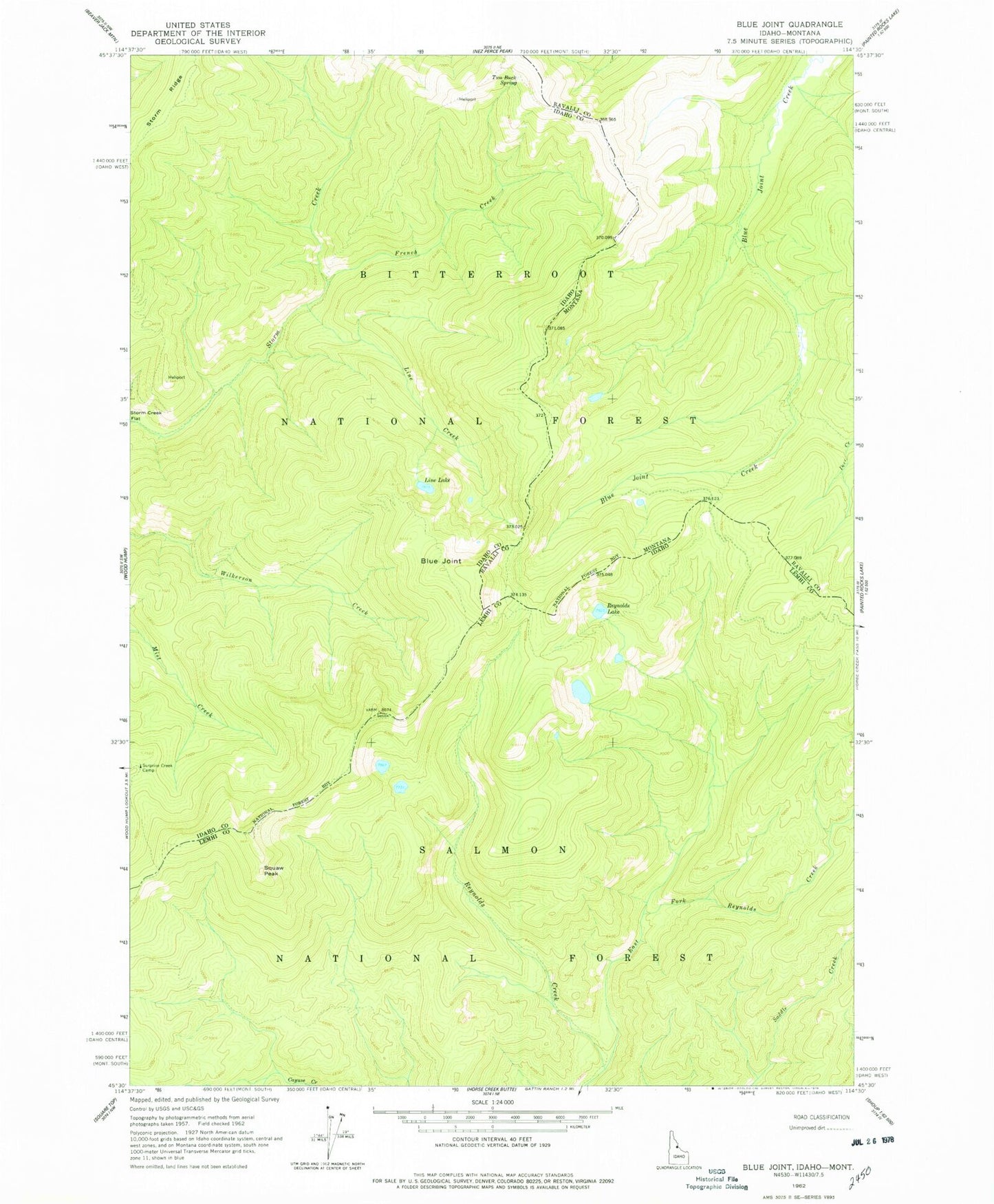
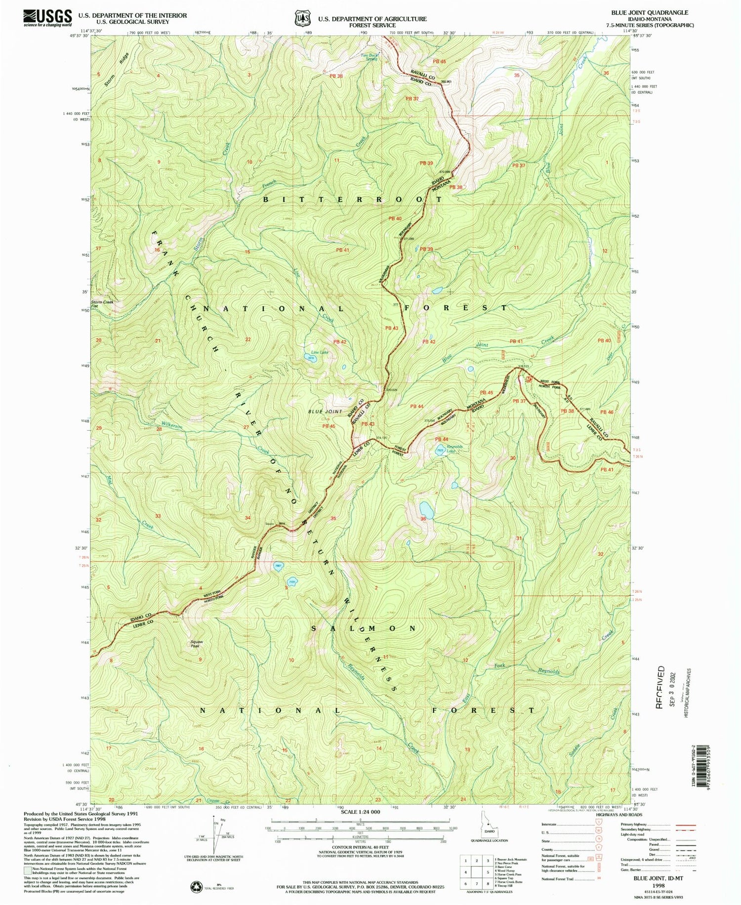
Historical USGS topographic quad map of Blue Joint in the state of Idaho. Map scale may vary for some years, but is generally around 1:24,000. Print size is approximately 24" x 27"
This quadrangle is in the following counties: Idaho, Lemhi, Ravalli.
The map contains contour lines, roads, rivers, towns, and lakes. Printed on high-quality waterproof paper with UV fade-resistant inks, and shipped rolled.
Contains the following named places: Blue Joint, East Fork Reynolds Creek, French Creek, Line Creek, Line Lake, Reynolds Lake, Squaw Peak, Storm Creek Flat, Surprise Creek Camp, Two Buck Spring