MyTopo
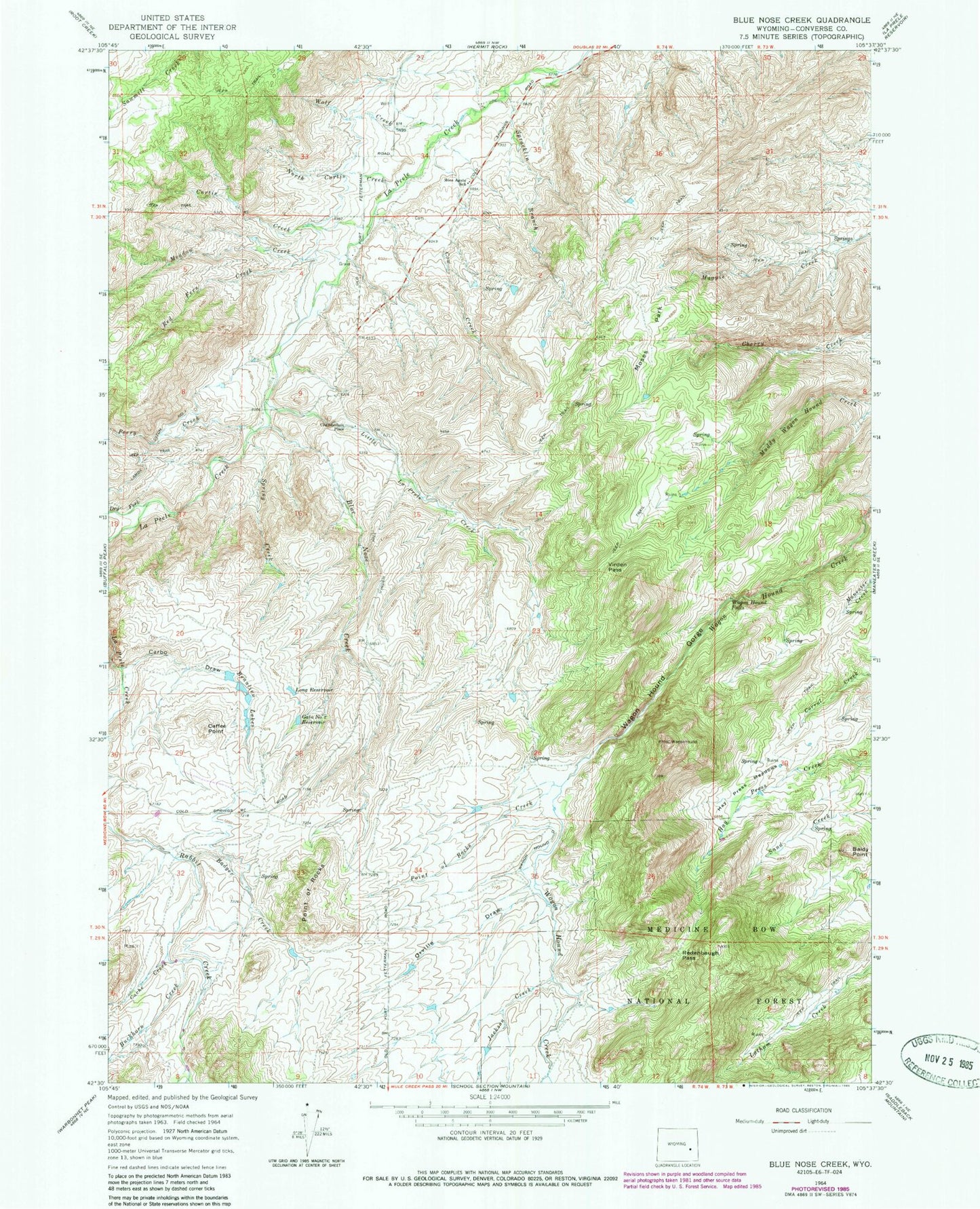
Classic USGS Blue Nose Creek Wyoming 7.5'x7.5' Topo Map
Couldn't load pickup availability
Historical USGS topographic quad map of Blue Nose Creek in the state of Wyoming. Map scale may vary for some years, but is generally around 1:24,000. Print size is approximately 24" x 27"
This quadrangle is in the following counties: Converse.
The map contains contour lines, roads, rivers, towns, and lakes. Printed on high-quality waterproof paper with UV fade-resistant inks, and shipped rolled.
Contains the following named places: Badger Creek, Baldy Point, Beaulieu Lakes, Blue Nose Creek, Buckhorn Creek, Cache Creek, Caffee Point, Carbo Draw, Chamberlain Place, Cow Creek, Curtis Creek, Dry Fork La Prele Creek, Gata Number 2 Reservoir, Hay Press Meadows, Jackson Creek, Lambe Ditch Number 1, Little La Prele Creek, Long Reservoir, Meadow Creek, Moses Park, Moss Agate School, North Curtis Creek, Orville Draw, Perry Creek, Point of Rocks, Point of Rocks Creek, Red Fern Creek, Redenbaugh Pass, Spracklin Branch, Spring Creek, Virden Pass, Wagon Hound Falls, Wagon Hound Gorge, Wolf Creek


