
MyTopo
Classic USGS Blue Rapids SE Kansas 7.5'x7.5' Topo Map
Regular price
$16.95
Regular price
Sale price
$16.95
Unit price
per
Couldn't load pickup availability
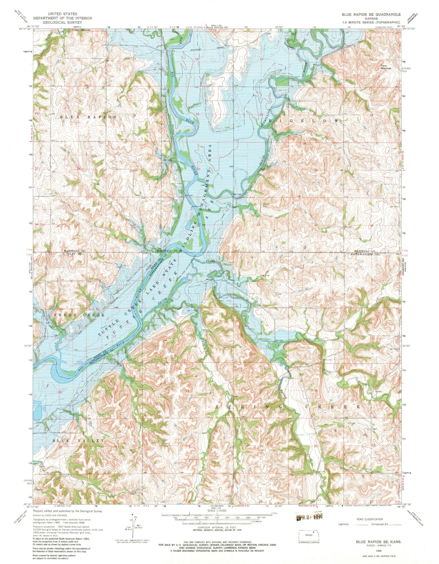
Historical USGS topographic quad map of Blue Rapids SE in the state of Kansas. Map scale may vary for some years, but is generally around 1:24,000. Print size is approximately 24" x 27"
This quadrangle is in the following counties: Marshall, Pottawatomie, Riley.
The map contains contour lines, roads, rivers, towns, and lakes. Printed on high-quality waterproof paper with UV fade-resistant inks, and shipped rolled.
Contains the following named places: Black Vermillion River, Bluff Creek, Corndodger Creek, Fourmile Creek, Game Fork, Proctor Cemetery, Spring Creek, Timber Creek, Township of Bigelow, Township of Spring Creek, Tuttle Creek Reservoir State Wildlife Management Area, Twin Mounds


