MyTopo
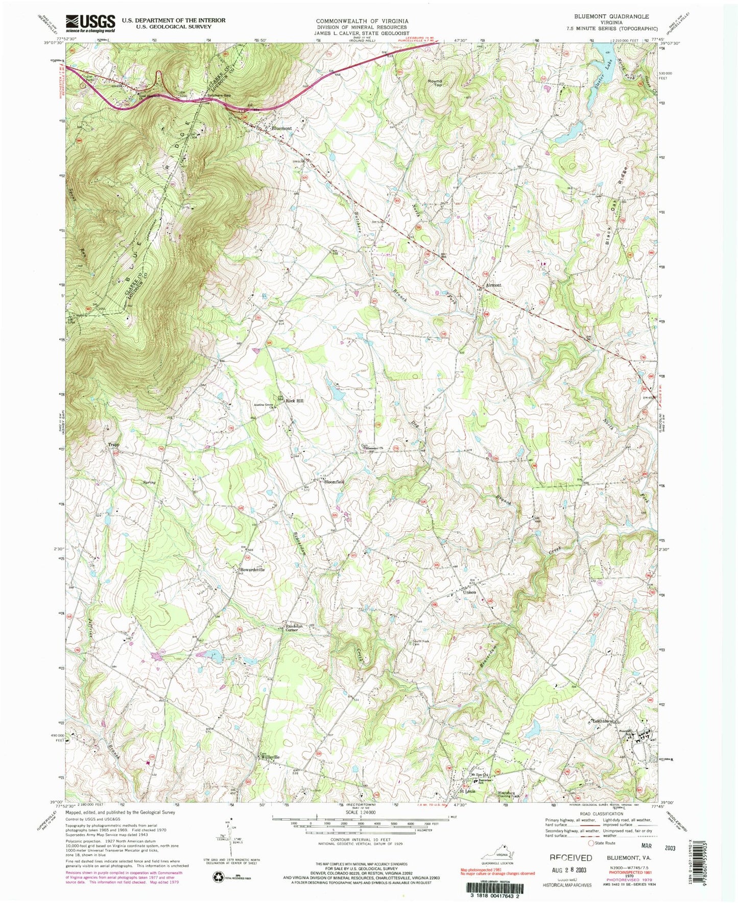
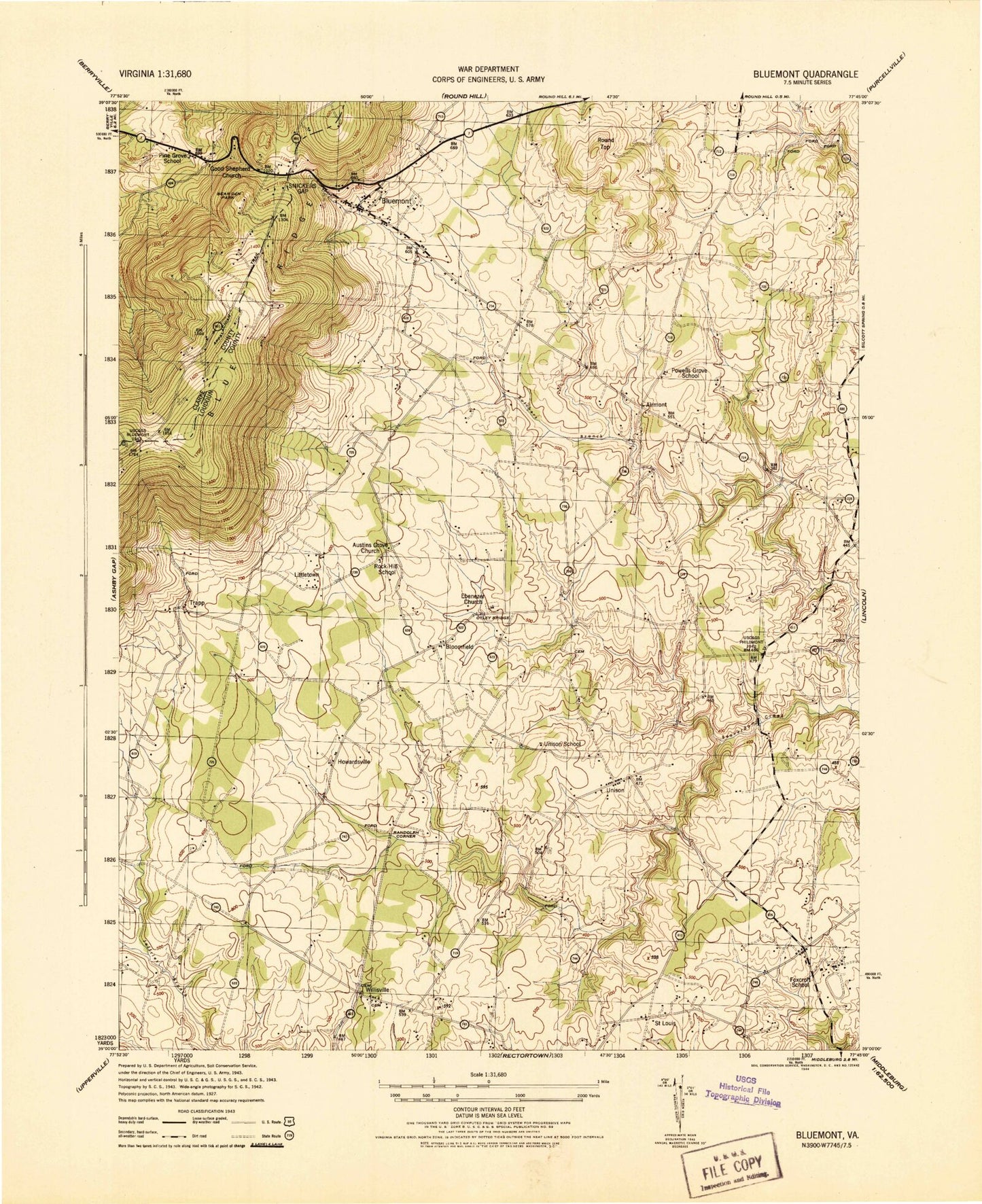
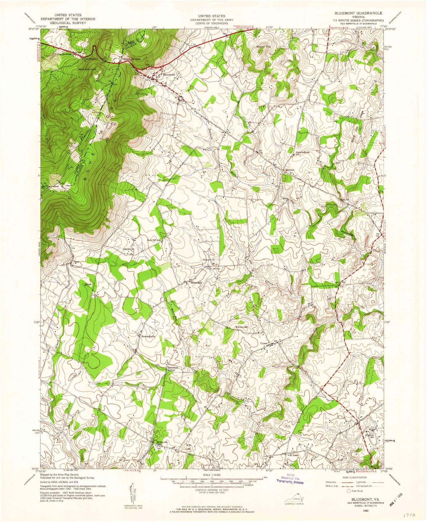
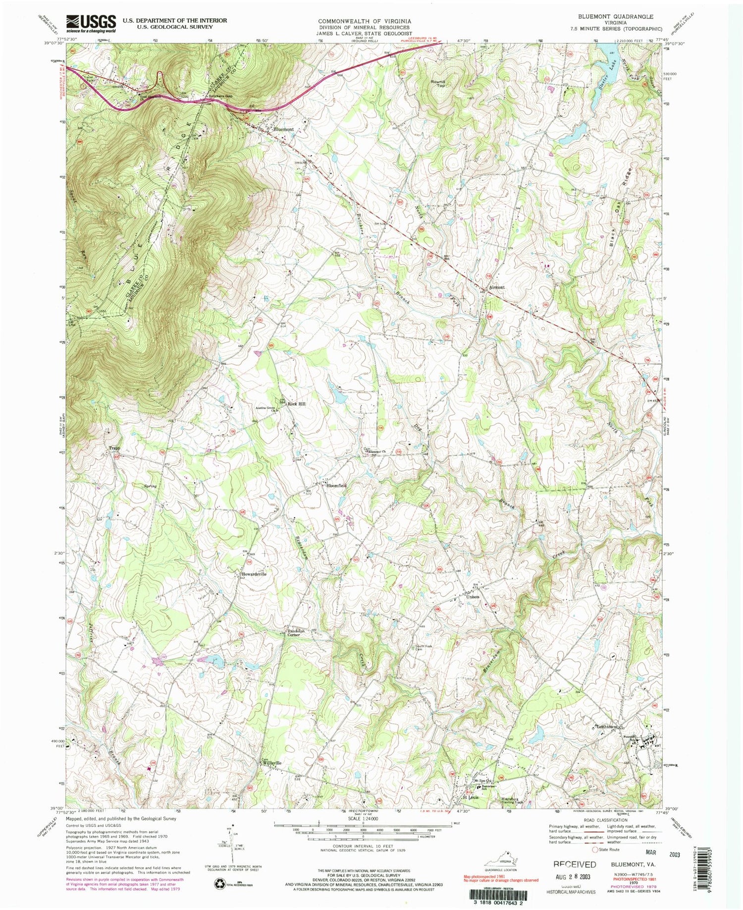
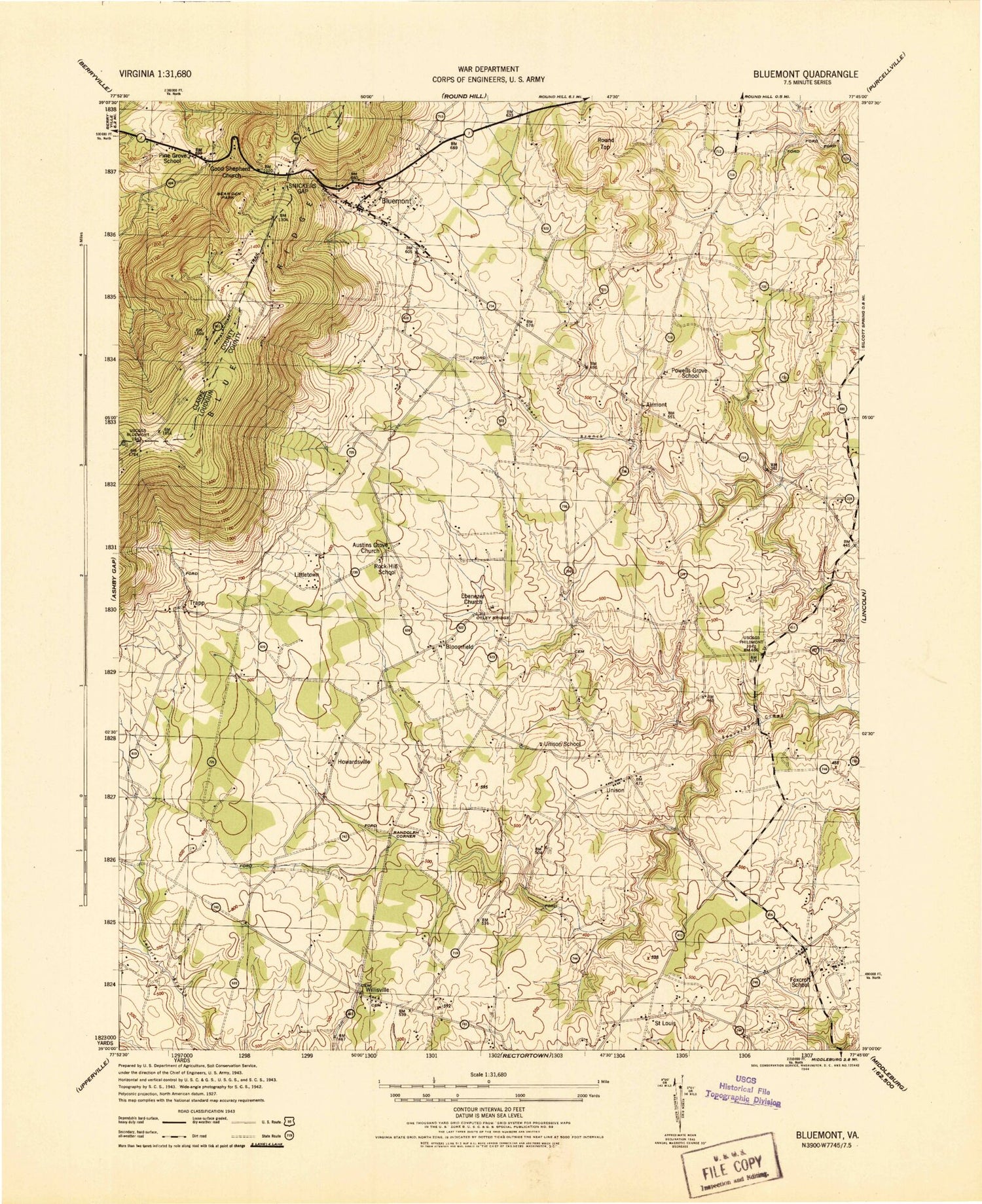
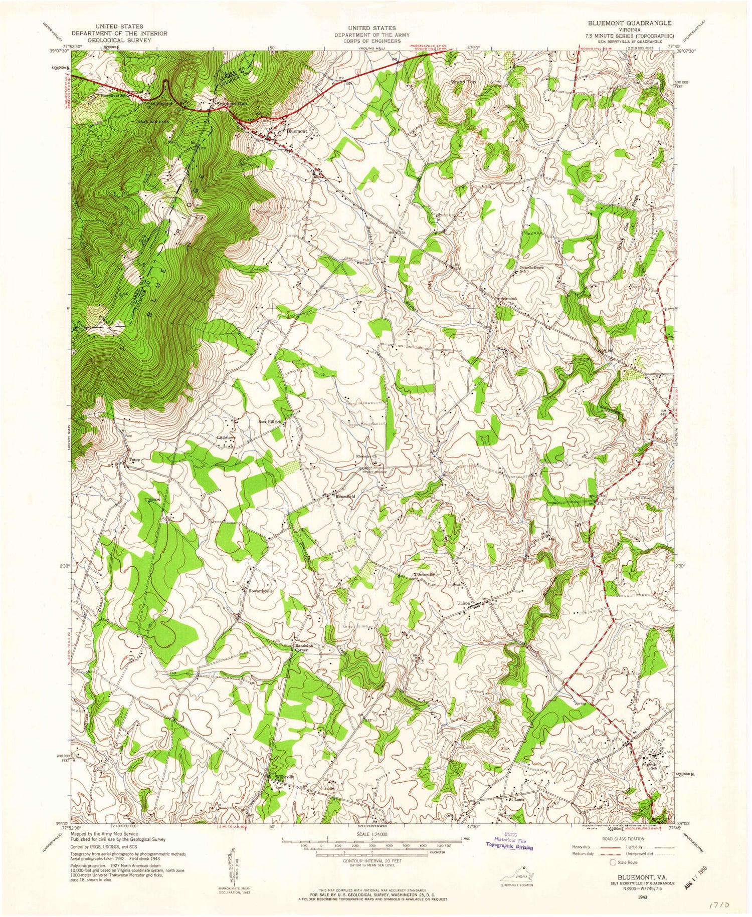
Classic USGS Bluemont Virginia 7.5'x7.5' Topo Map
Couldn't load pickup availability
Historical USGS topographic quad map of Bluemont in the state of Virginia. Typical map scale is 1:24,000, but may vary for certain years, if available. Print size: 24" x 27"
This quadrangle is in the following counties: Clarke, Loudoun.
The map contains contour lines, roads, rivers, towns, and lakes. Printed on high-quality waterproof paper with UV fade-resistant inks, and shipped rolled.
Contains the following named places: Austins Grove United Methodist Church, Banneker Elementary School, Black Oak Ridge, Butchers Branch, Dog Branch, Ebenezer Baptist Church, Foxcroft School, Good Shepherd Church, Mount Zion Baptist Church of St. Louis, Snickers Gap, South Fork Meeting House Cemetery, Airmont, Howardsville, Leithtown, Randolph Corner, Rock Hill, Saint Louis, Unison, Archbold Dam, Archbold Lake, Sleeter Lake Dam, Sleeter Lake, Precision Dynamics Lake Dam, Precision Dynamics Lake, Rayborn Dam, Rayborn Lake, Meadow Grove Farm Lake, Bloomfield, Bluemont, Round Top, Trapp, Willisville, Flying Horse Farm Balloonport, Meadow Grove Farm Dam, Bearden Park, Ebenezer Methodist Church, Pine Grove School (historical), Wynkoop Mobile Home Park, Ayreshire Farm, Bluemont Historic District, Bluemont Post Office, Bluemont United Methodist Church, Dishmans Corner, Ebenezer Cemetery, Five Oaks Corner, Leiths Corner, Littletown, Longview, Murphys Corner, Old Welbourne, Paxson, Powells Grove, Powells Grove School (historical), Rock Hill School (historical), Trappe Crossroads, Unison School (historical), Unison United Methodist Church, Welbourne, White Pump, Willisville Crossroads, Horse Shoe Curve, Pine Grove, Bluemont Community Center, Golden Dreams Therapeutic Riding Center (historical), GC Henry Dam, Piney Swamp Road Dam, Powell's Grove United Methodist Church (historical), Speedwell Farm Dam, Trappe Hill Farm Dam, Austins Grove United Methodist Church, Banneker Elementary School, Black Oak Ridge, Butchers Branch, Dog Branch, Ebenezer Baptist Church, Foxcroft School, Good Shepherd Church, Mount Zion Baptist Church of St. Louis, Snickers Gap, South Fork Meeting House Cemetery, Airmont, Howardsville, Leithtown, Randolph Corner, Rock Hill, Saint Louis, Unison, Archbold Dam, Archbold Lake, Sleeter Lake Dam, Sleeter Lake, Precision Dynamics Lake Dam, Precision Dynamics Lake, Rayborn Dam, Rayborn Lake, Meadow Grove Farm Lake, Bloomfield, Bluemont, Round Top, Trapp, Willisville, Flying Horse Farm Balloonport, Meadow Grove Farm Dam, Bearden Park, Ebenezer Methodist Church, Pine Grove School (historical), Wynkoop Mobile Home Park, Ayreshire Farm, Bluemont Historic District, Bluemont Post Office, Bluemont United Methodist Church, Dishmans Corner, Ebenezer Cemetery, Five Oaks Corner, Leiths Corner, Littletown, Longview, Murphys Corner, Old Welbourne, Paxson, Powells Grove, Powells Grove School (historical), Rock Hill School (historical), Trappe Crossroads, Unison School (historical), Unison United Methodist Church, Welbourne, White Pump, Willisville Crossroads, Horse Shoe Curve, Pine Grove, Bluemont Community Center, Golden Dreams Therapeutic Riding Center (historical), GC Henry Dam, Piney Swamp Road Dam, Powell's Grove United Methodist Church (historical), Speedwell Farm Dam, Trappe Hill Farm Dam
