MyTopo
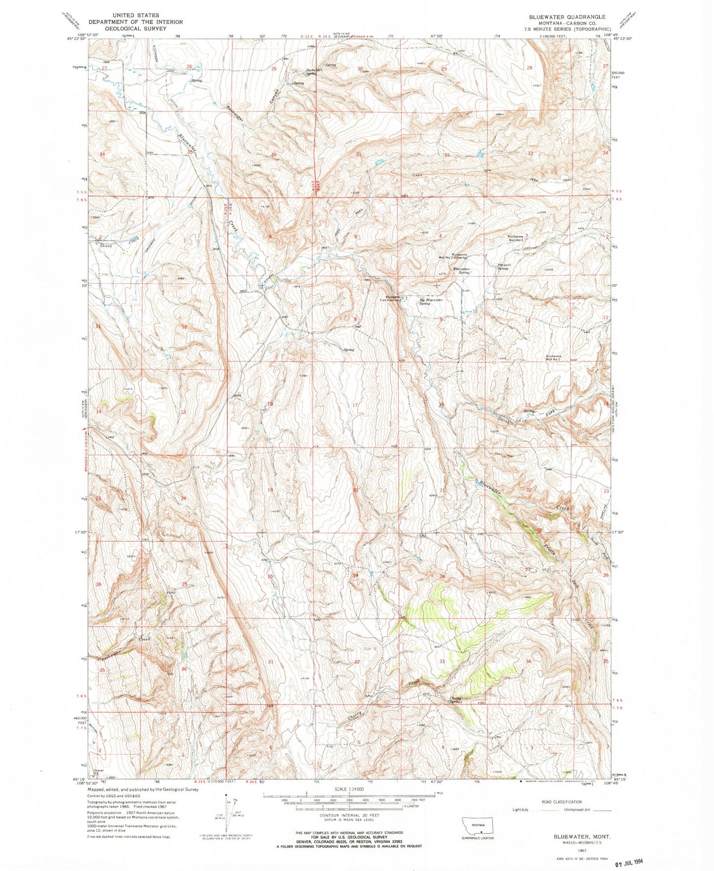
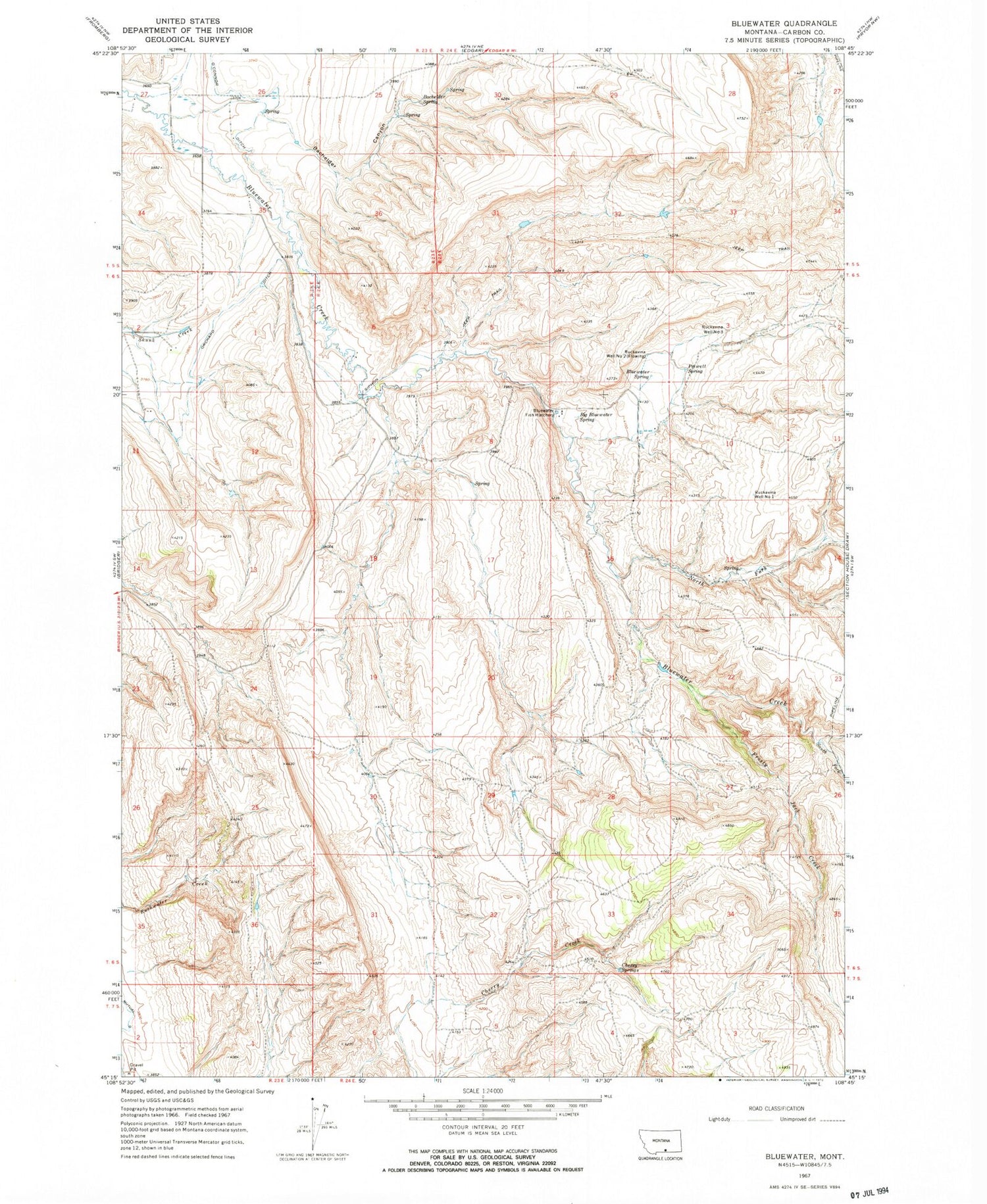
Classic USGS Bluewater Montana 7.5'x7.5' Topo Map
Couldn't load pickup availability
Historical USGS topographic quad map of Bluewater in the state of Montana. Map scale may vary for some years, but is generally around 1:24,000. Print size is approximately 24" x 27"
This quadrangle is in the following counties: Carbon.
The map contains contour lines, roads, rivers, towns, and lakes. Printed on high-quality waterproof paper with UV fade-resistant inks, and shipped rolled.
Contains the following named places: 06S24E03CC__01 Spring, 06S24E04DD__01 Well, 06S24E04DD__02 Spring, 06S24E04DDBA01 Well, 06S24E09AA__01 Spring, 06S24E09AA__02 Spring, 06S24E09AC__01 Spring, 06S24E09AC__02 Spring, 06S24E09AC__03 Spring, 06S24E09AD__01 Spring, 06S24E09AD__02 Spring, 06S24E09BCAA01 Spring, 06S24E09BD__01 Spring, 06S24E09BD__02 Spring, 06S24E09CD__01 Spring, 06S24E09DC__01 Spring, 06S24E10DCDD01 Well, 06S24E15BD__01 Spring, 06S24E15CA__01 Spring, 06S24E15DB__01 Spring, 06S24E16AB__01 Spring, 06S24E16BD__01 Spring, 06S24E22CA__01 Spring, 06S24E27AB__01 Spring, Bachelder Canyon, Bachelder Spring, Big Bluewater Spring, Bluewater Fish Hatchery, Bluewater Fish Hatchery Fishing Access Site, Bluewater School, Bluewater Spring, Cherry Springs, Frosty Jack Creek, North Fork Bluewater Creek, O'Connor Ditch, Orchard Ditch, Prewett Spring, Ruckavina Well Number One, Ruckavina Well Number Three, Ruckavina Well Number Two, South Fork Bluewater Creek, Teeples Ranch Cemetery