MyTopo
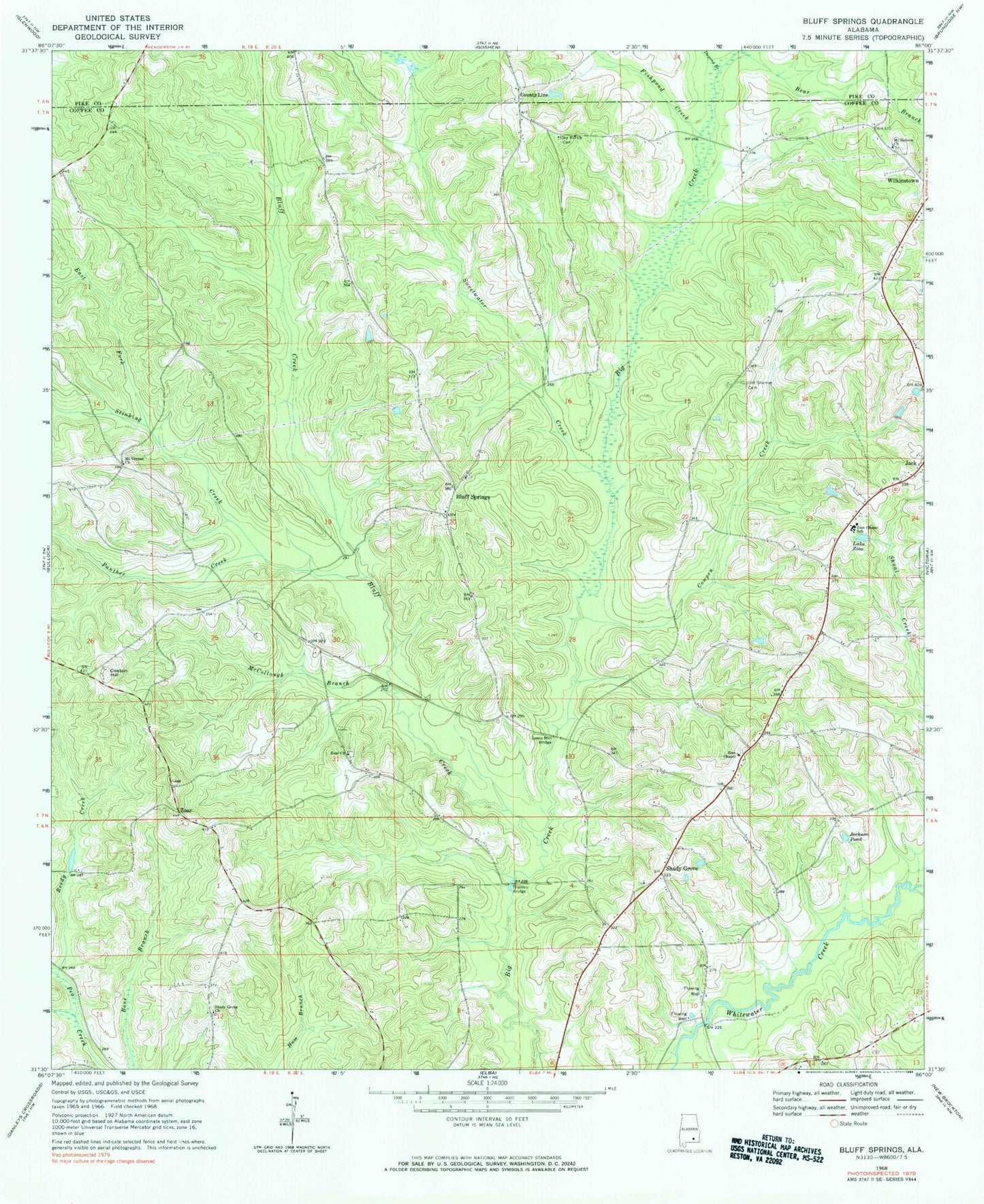
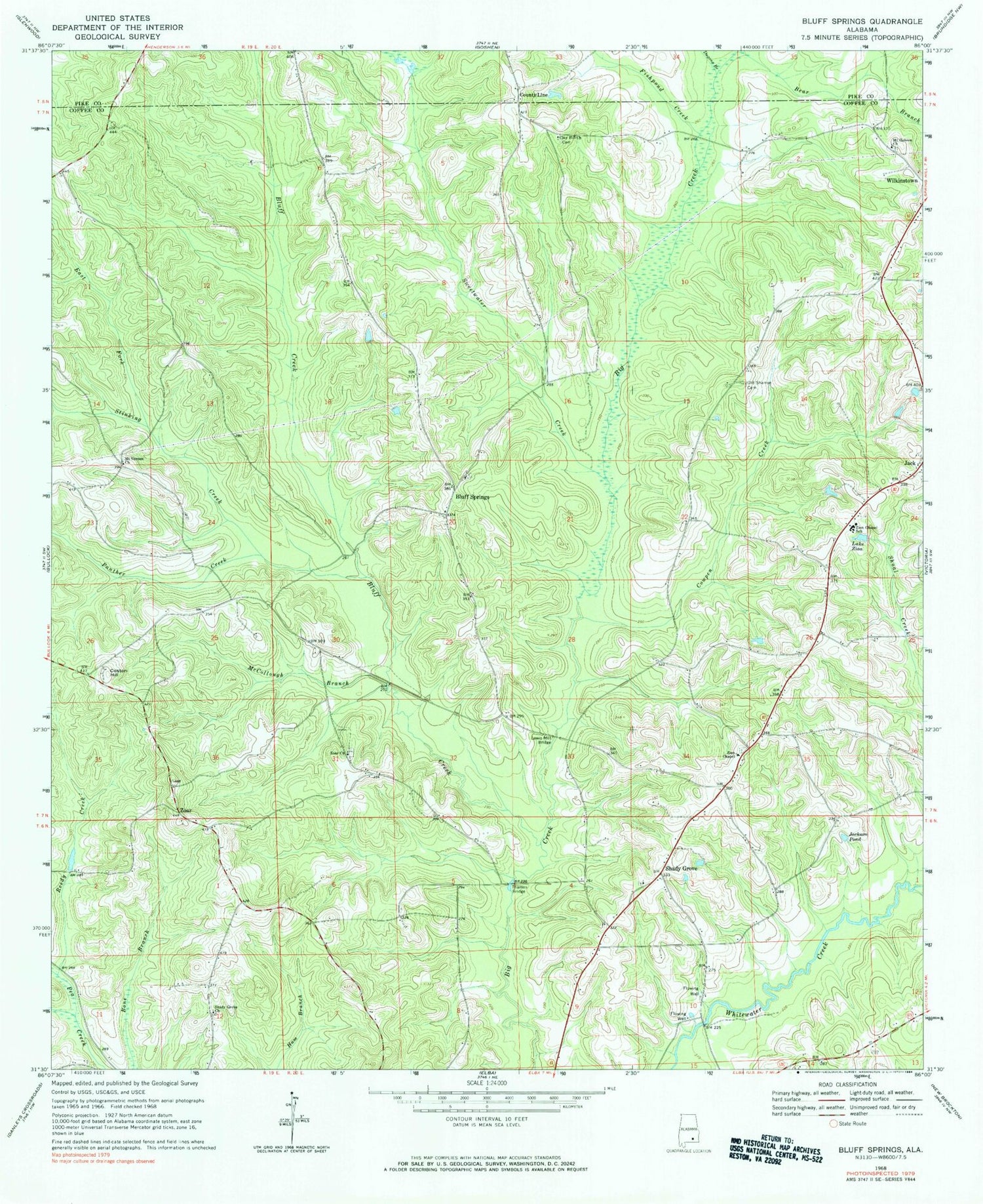
Classic USGS Bluff Springs Alabama 7.5'x7.5' Topo Map
Couldn't load pickup availability
Historical USGS topographic quad map of Bluff Springs in the state of Alabama. Map scale may vary for some years, but is generally around 1:24,000. Print size is approximately 24" x 27"
This quadrangle is in the following counties: Coffee, Pike.
The map contains contour lines, roads, rivers, towns, and lakes. Printed on high-quality waterproof paper with UV fade-resistant inks, and shipped rolled.
Contains the following named places: Bear Branch, Bluff Creek, Bluff Springs, Bluff Springs Baptist Church, Bluff Springs Cemetery, Clay Hill Baptist Church, Clay Hill Cemetery, Coston Hill, County Line, County Line School, Cowpen Creek, Dugans Branch, East Fork Stinking Creek, Fishpond Creek, Gaston Hill Church, Jack, Jack Division, Jack Post Office, Jackson Pond, Lake Zion, Lewis Mill, Lewis Mill Bridge, McCollough Branch, Mount Hebron Baptist Church, Mount Hebron Cemetery, Mount Pleasant School, Mount Vernon Church, Old Sharron Cemetery, Panther Creek, Pridgeon Branch, Reedy Creek, Shady Grove, Shady Grove Cemetery, Shady Grove Church, Shady Grove Primitive Baptist Church, Shady Grove School, Sharon Church, Shearon Cemetery, Stinking Creek, Sweetwater Creek, Thames Bridge, White Springs Branch, Yellow Bank Creek, Zion Chapel Baptist Church, Zion Chapel Senior High School, Zion Chapel Volunteer Fire Department, Zion School, Zions Chapel Cemetery, Zoar, Zoar Cemetery, Zoar Church, ZIP Code: 36034


