MyTopo
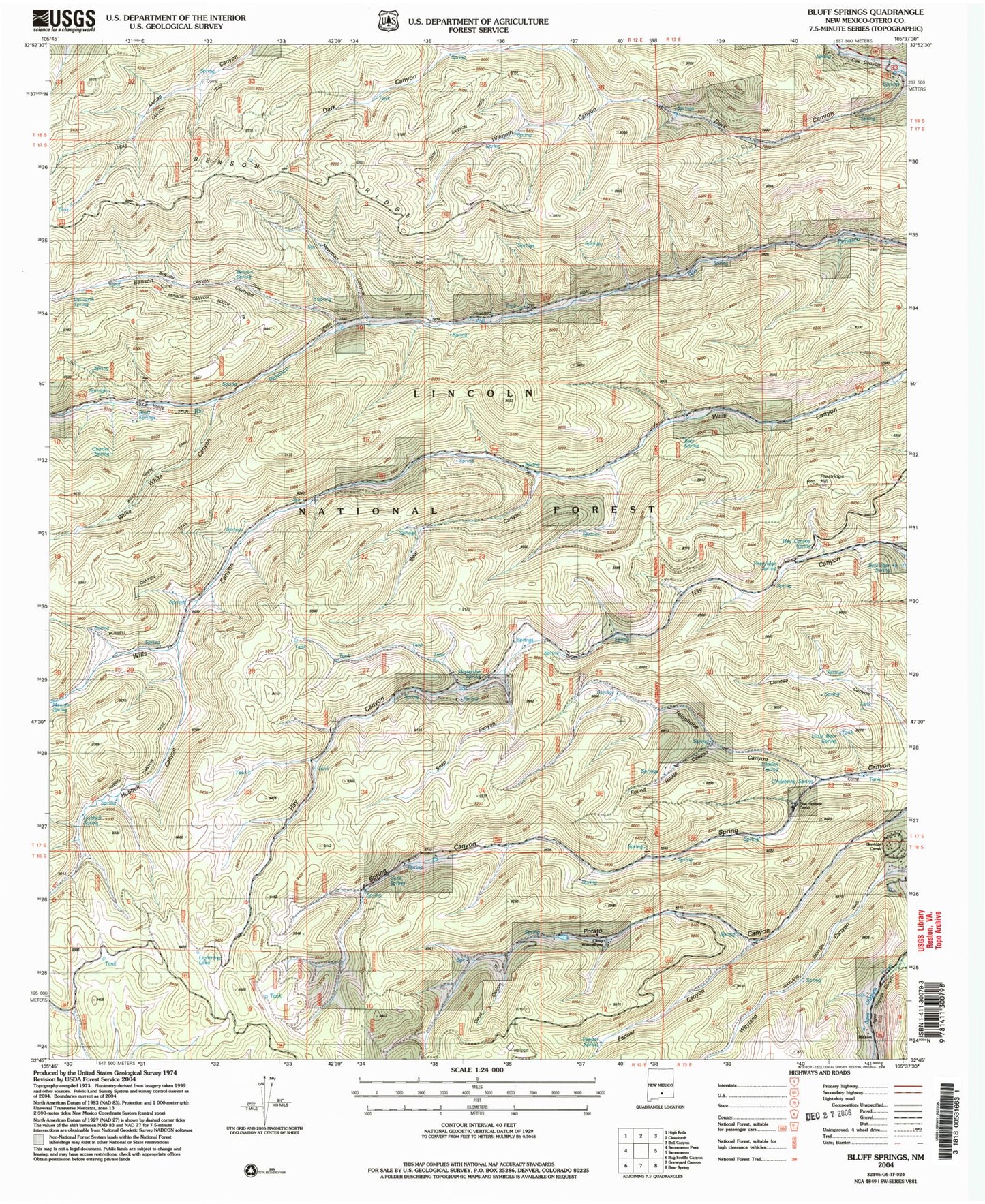
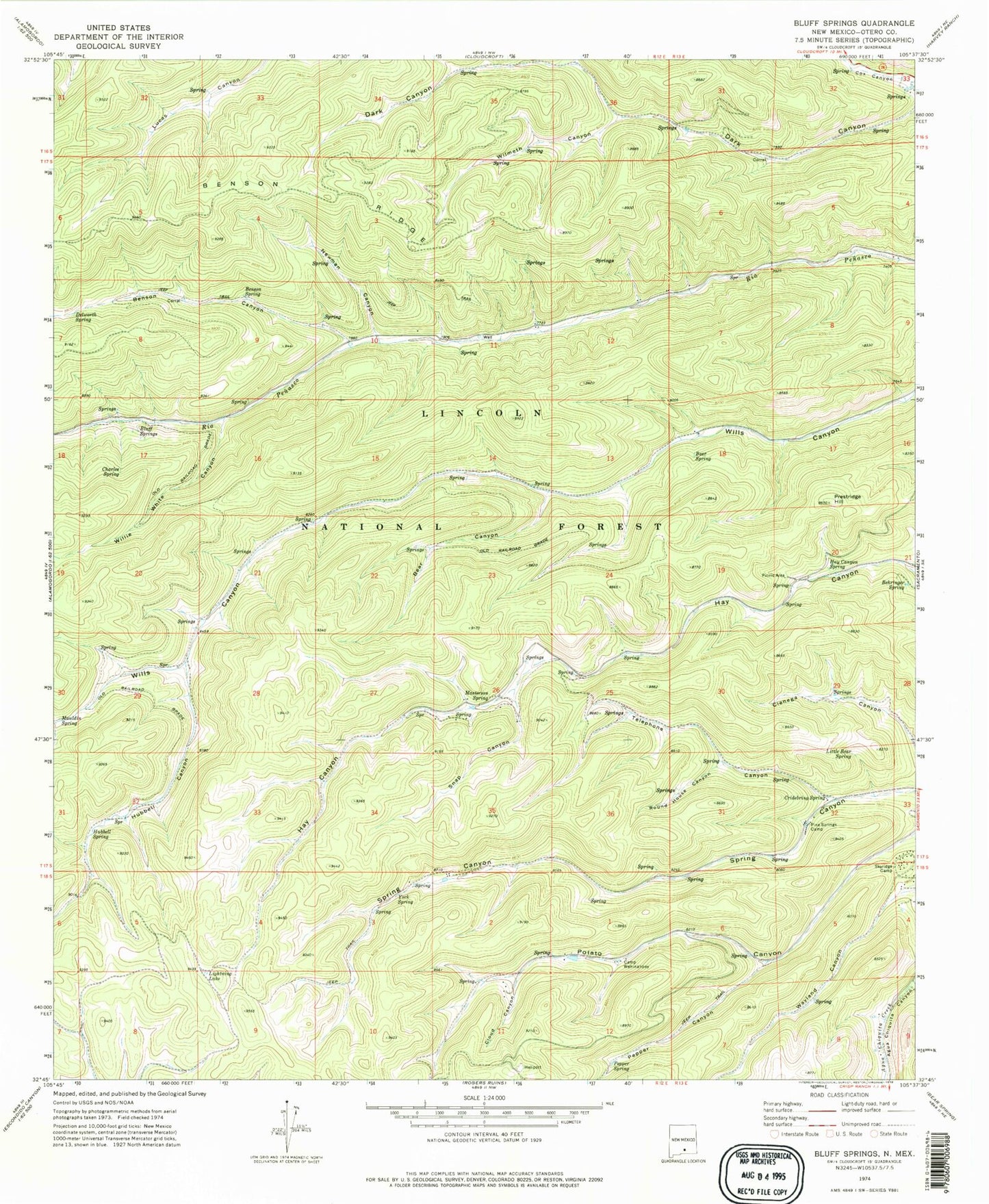
Classic USGS Bluff Springs New Mexico 7.5'x7.5' Topo Map
Couldn't load pickup availability
Historical USGS topographic quad map of Bluff Springs in the state of New Mexico. Typical map scale is 1:24,000, but may vary for certain years, if available. Print size: 24" x 27"
This quadrangle is in the following counties: Otero.
The map contains contour lines, roads, rivers, towns, and lakes. Printed on high-quality waterproof paper with UV fade-resistant inks, and shipped rolled.
Contains the following named places: Bear Canyon, Bear Spring, Behringer Spring, Benson Canyon, Benson Ridge, Benson Spring, Bluff Springs, Camp Wehinahpay, Charles Spring, Cloud Canyon, Cridebring Spring, Delworth Spring, Hay Canyon Spring, Hubbell Canyon, Hubbell Spring, Lightning Lake, Little Bear Spring, Masterson Spring, Mauldin Spring, Newman Canyon, Pepper Canyon, Pepper Spring, Pine Springs Camp, Prestridge Hill, Round House Canyon, Skyridge Camp, Snap Canyon, Telephone Canyon, Willie White Canyon, Wilmeth Canyon, York Spring, Maxon, Hidden Spring, Prestridge Spring, Copper Flat Group, Sacramento Ranger District, Mayhill Volunteer Fire Department Substation 1


