MyTopo
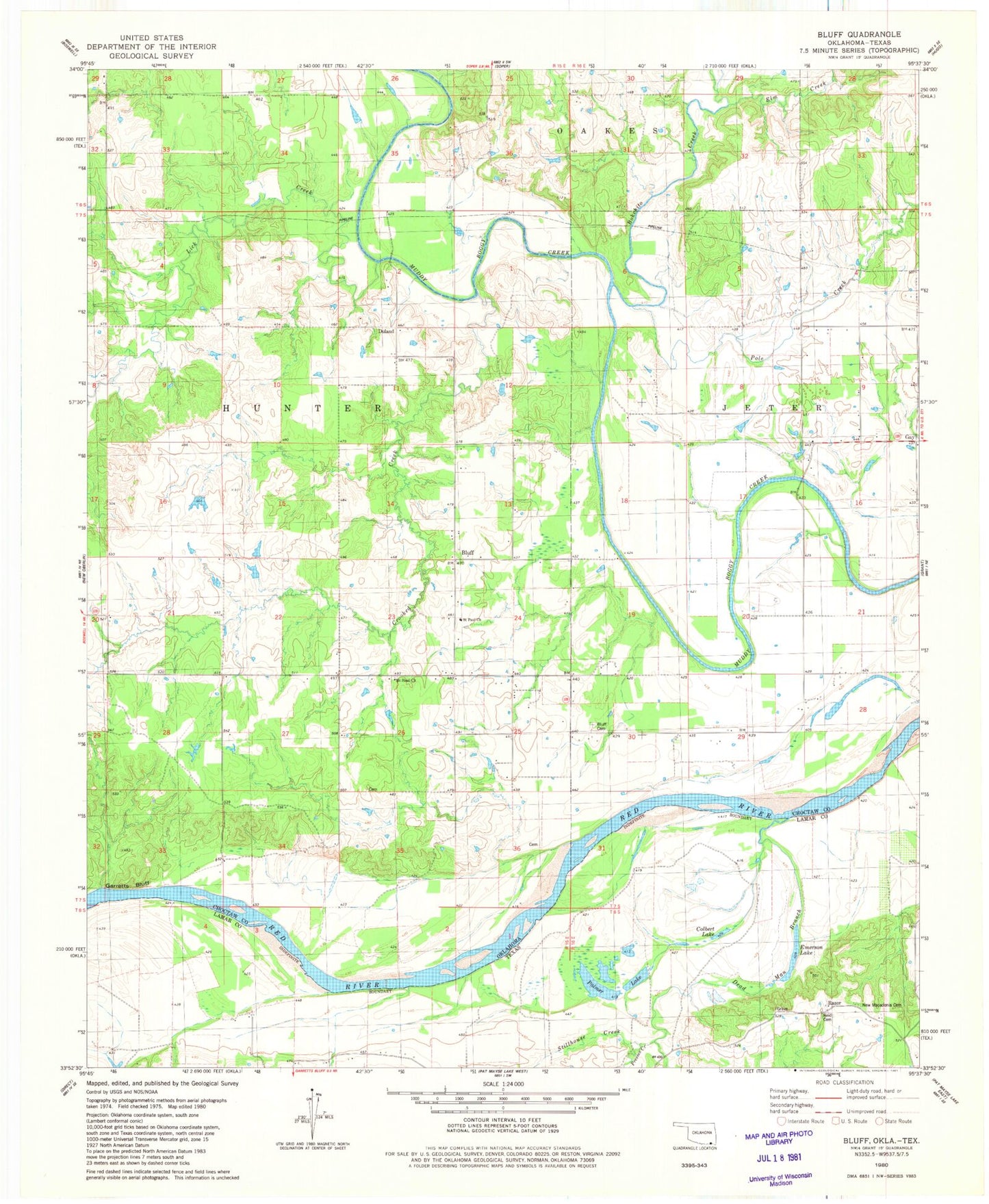
Classic USGS Bluff Oklahoma 7.5'x7.5' Topo Map
Couldn't load pickup availability
Historical USGS topographic quad map of Bluff in the states of Oklahoma, Texas. Map scale is 1:24000. Print size is approximately 24" x 27"
This quadrangle is in the following counties: Choctaw, Lamar.
The map contains contour lines, roads, rivers, towns, and lakes. Printed on high-quality waterproof paper with UV fade-resistant inks, and shipped rolled.
Contains the following named places: Bluff, Bluff Cemetery, Bluff Fire Department, Bokchito Creek, Colbert Lake, Crooked Creek, Dead Man Branch, Duland, Duland School, Elm Creek, Emerson Lake, Goodhill School, Hills Chapel School, Horseshoe Lake, Lick Creek, Macedonia Cemetery, Mount Sinai Church, Oklahoma School, Palmer Lake, Pole Creek, Razor, Reid Cemetery