MyTopo
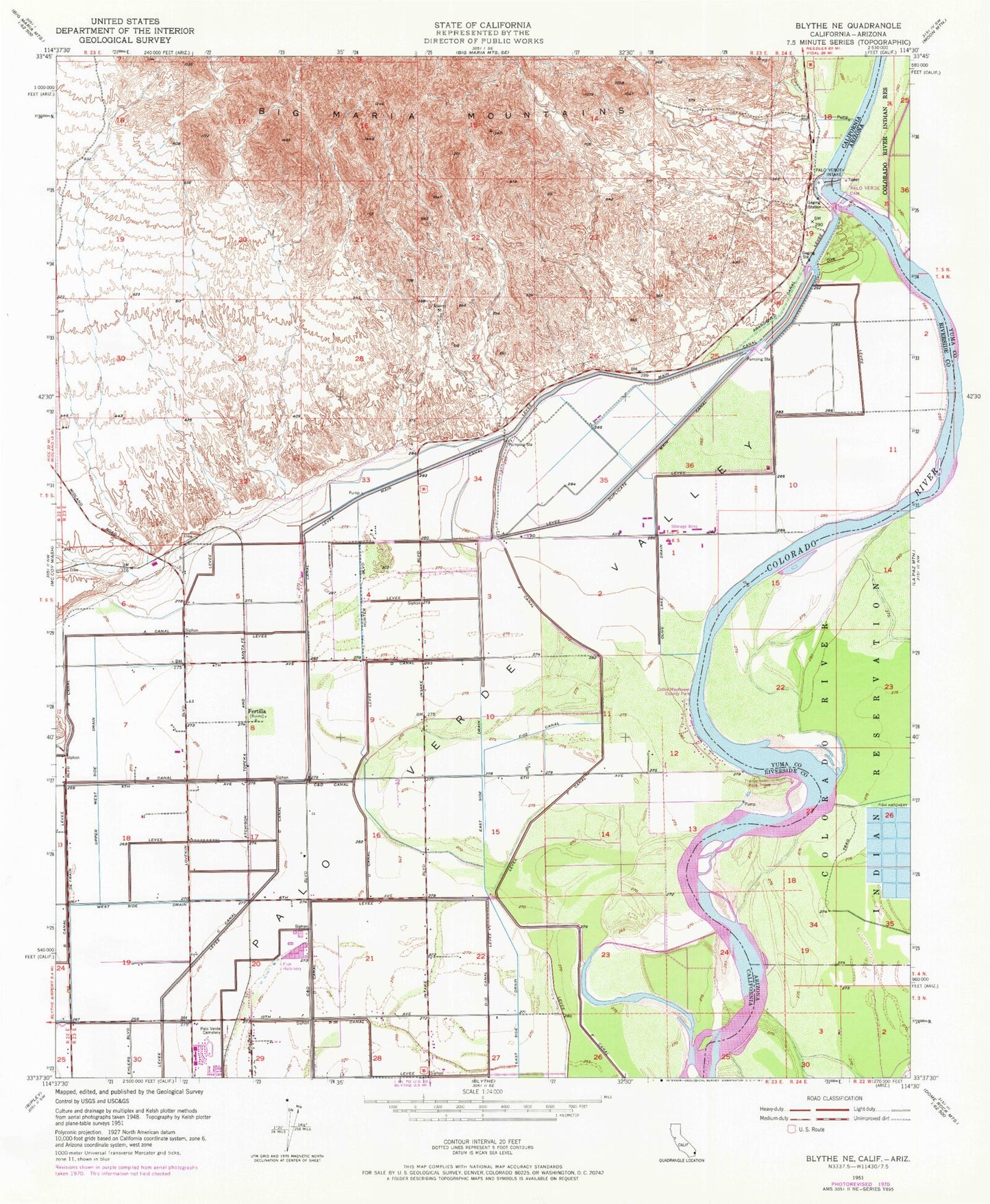
Classic USGS Blythe NE California 7.5'x7.5' Topo Map
Couldn't load pickup availability
Historical USGS topographic quad map of Blythe NE in the states of California, Arizona. Map scale may vary for some years, but is generally around 1:24,000. Print size is approximately 24" x 27"
This quadrangle is in the following counties: La Paz, Riverside.
The map contains contour lines, roads, rivers, towns, and lakes. Printed on high-quality waterproof paper with UV fade-resistant inks, and shipped rolled.
Contains the following named places: A Canal, Collis Mayflower County Park, D- 08 Canal, Duplicate Main Canal, F- 02 Canal, Fertilla, Goodman Slough, Granite Point, Long Shoals, Main Canal, Olive Lake Drain, Palo Verde Cemetery, Palo Verde Dam, Palo Verde Intake, Swallows Nest Bend, Tosco, Upper West Side Drain