MyTopo
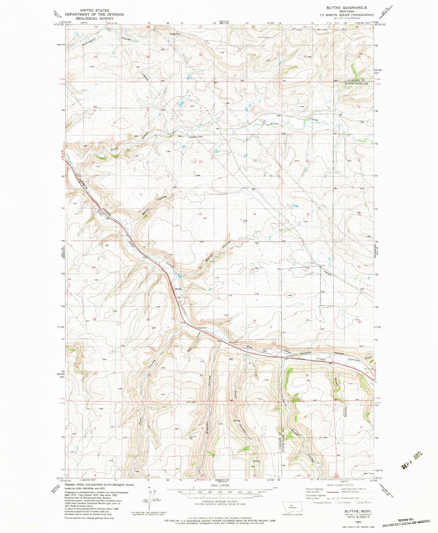
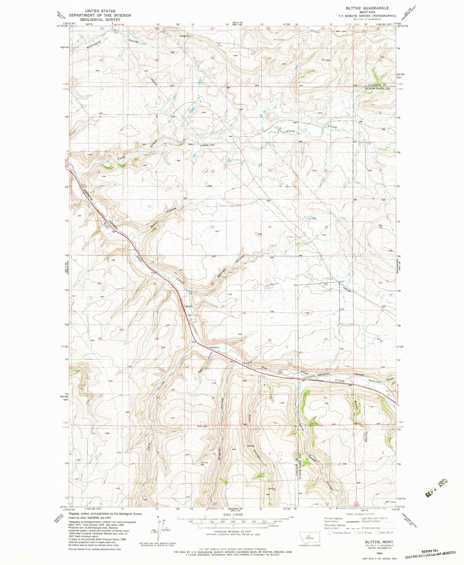
Classic USGS Blythe Montana 7.5'x7.5' Topo Map
Couldn't load pickup availability
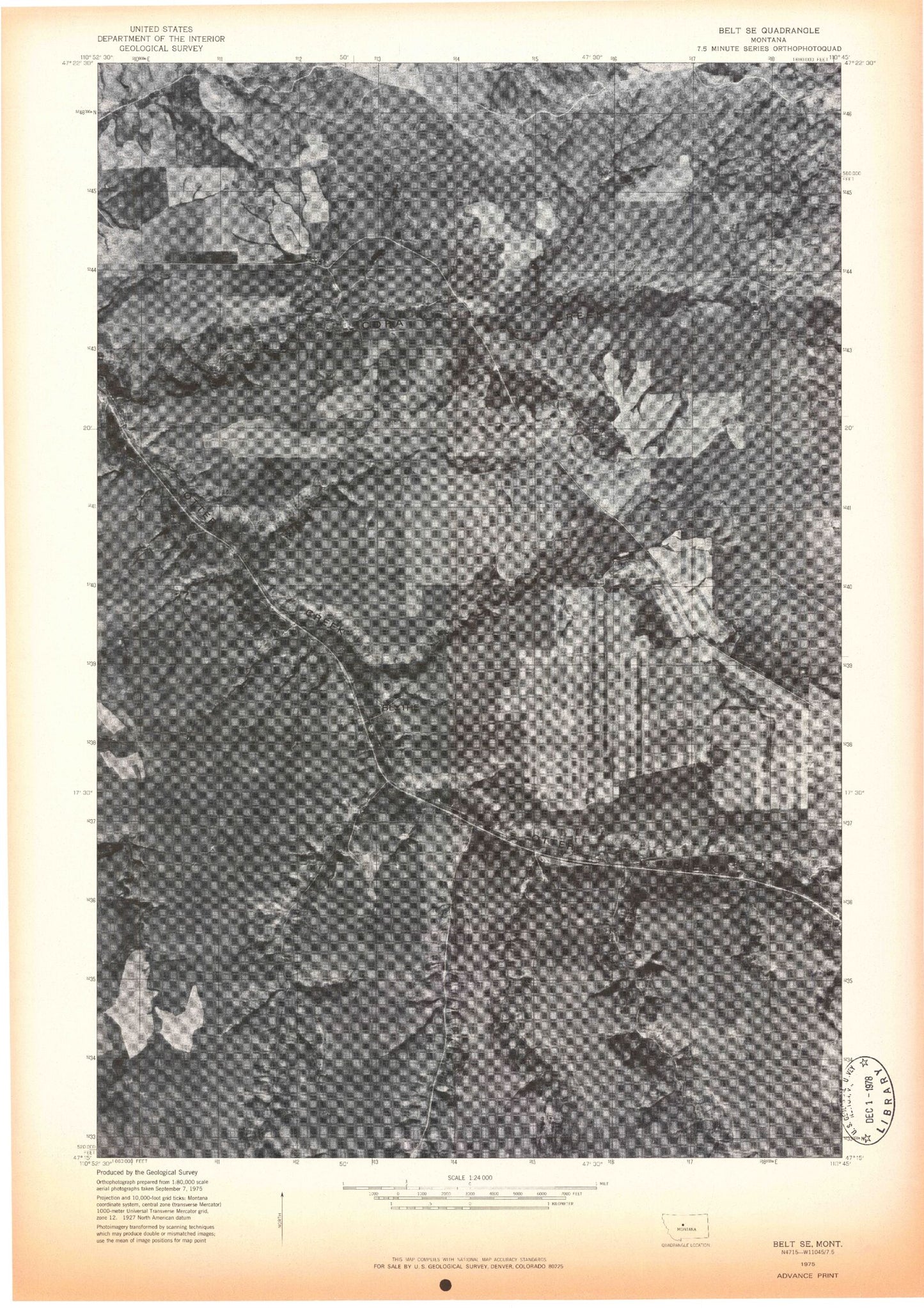
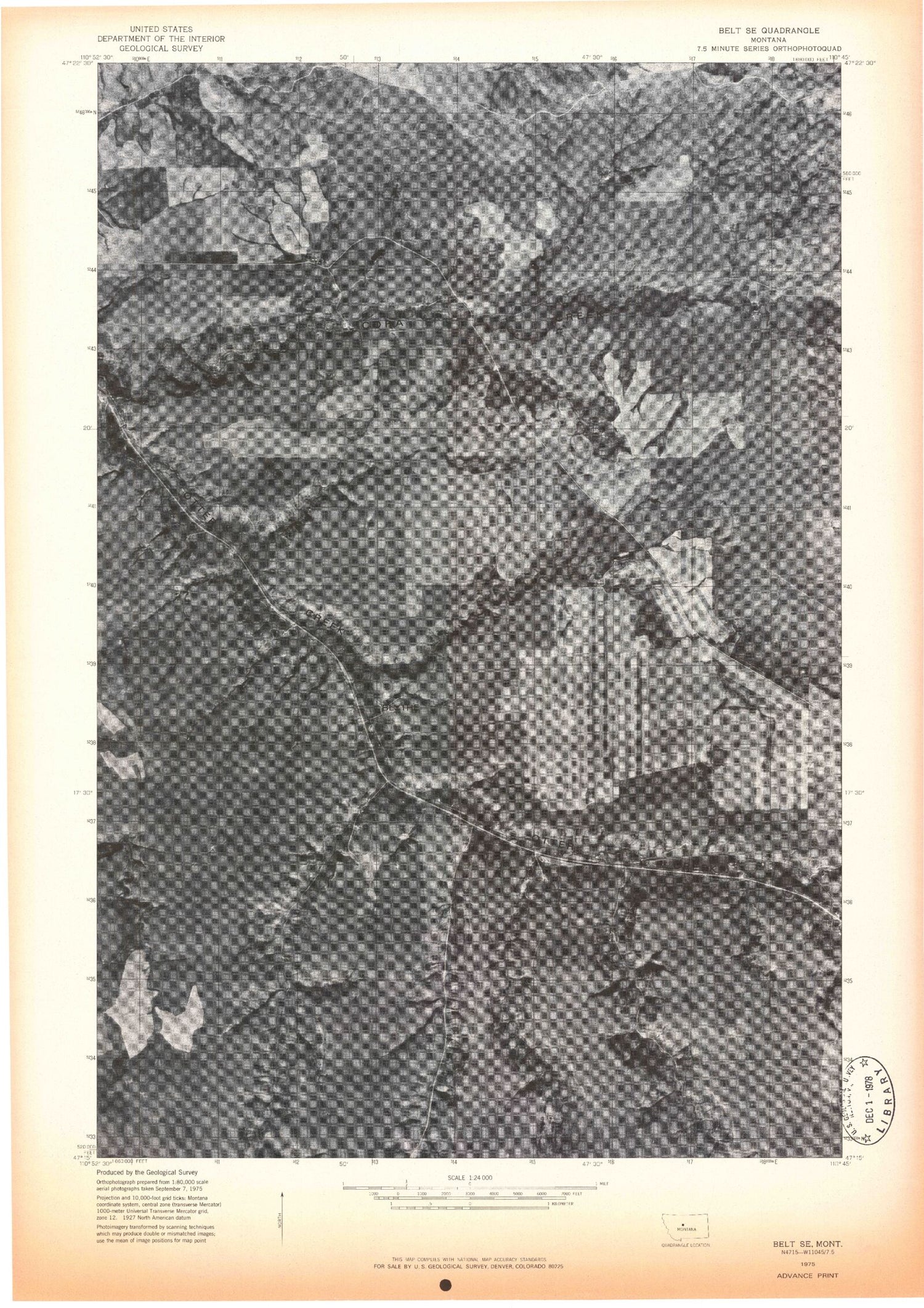
Historical USGS topographic quad map of Blythe in the state of Montana. Map scale may vary for some years, but is generally around 1:24,000. Print size is approximately 24" x 27"
This quadrangle is in the following counties: Cascade, Judith Basin.
The map contains contour lines, roads, rivers, towns, and lakes. Printed on high-quality waterproof paper with UV fade-resistant inks, and shipped rolled.
Contains the following named places: 18N07E05____01 Well, 18N07E05A___01 Well, 18N07E11____01 Well, 18N07E11____02 Well, 59412, Baker Coulee, Blyth School, Blythe, Brigman Coulee, Brigman Coulee School, Brush Coulee, Burlingame School, Cora, Cora Creek, Cora Post Office, Dawson Ranch Number 1 Dam, Ford Coulee, Government Coulee, Marion Coulee, Never Sweat Coulee, Swan Coulee