MyTopo
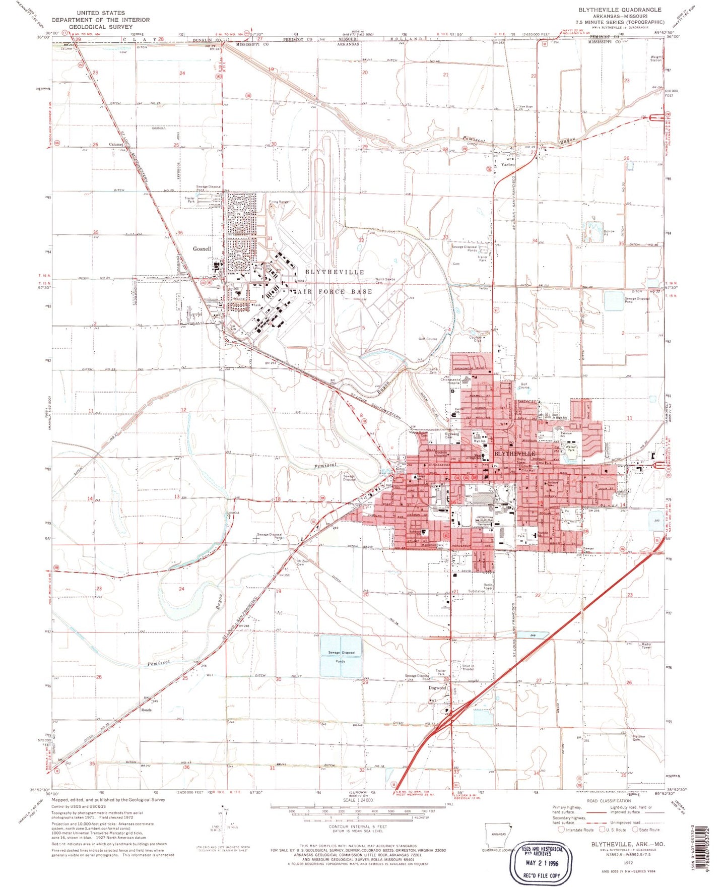
Classic USGS Blytheville Arkansas 7.5'x7.5' Topo Map
Couldn't load pickup availability
Historical USGS topographic quad map of Blytheville in the state of Arkansas. Map scale may vary for some years, but is generally around 1:24,000. Print size is approximately 24" x 27"
This quadrangle is in the following counties: Dunklin, Mississippi, Pemiscot.
The map contains contour lines, roads, rivers, towns, and lakes. Printed on high-quality waterproof paper with UV fade-resistant inks, and shipped rolled.
Contains the following named places: Aldersgate United Methodist Church, Arkansas International Airport, Baptist Memorial Hospital Blytheville, Blytheville, Blytheville Charter School, Blytheville City Hall, Blytheville Elementary School, Blytheville Emergency Squad, Blytheville Fire Department, Blytheville Fire Department Station 2, Blytheville Fire Department Station 3, Blytheville First Assembly of God Church, Blytheville High School, Blytheville Intermediate School, Blytheville Kindergarten Center School, Blytheville Middle School, Blytheville Plaza Shopping Center, Blytheville Police Department, Blytheville Post Office, Blytheville Primary School, Blytheville Public Library, Blythville Charter School, Blythville Middle School, Calumet, Calumet School, Calvary Baptist Church, Central Elementary School, Cherrytree Plaza, Chickasawba, Chickasawba Mound, Church of Christ, Church of God, Church of the Lord Jesus, Church of the Lord Jesus Christ, City of Blytheville, City of Gosnell, Colony Square Shopping Center, Cypress Park, Day Shopping Center, Ditch Number 17, Ditch Number 18, Ditch Number 22, Ditch Number 27, Ditch Number 29, Ditch Number 30, Ditch Number 31, Ditch Number 33, Ditch Number 35, Ditch Number 36, Ditch Number 37, Ditch Number 46, Ditch Number 52, Dogwood, Dogwood Church, Dogwood Ridge, Dogwood Ridge School, Dogwood School, Downtown Shopping Center, Eaker Site, East Junior High School, Eastside Church of Christ, Elmwood Cemetery, Fairview Baptist Church, Fairview Kindergarten Center School, Fairview School, Faith Temple Church of God in Christ, Fire Station Number 1, First Baptist Church of Blytheville, First Christian Church, First Church of the Nazarene, First Lutheran Church, First Missionary Baptist Church, First Pentecostal Church House of Praises, First Presbyterian Church, First United Methodist Church, First United Pentecostal Church, Flat Lake Church, Flat Lake School, Franklin Primary School, Gosnell, Gosnell Baptist Church, Gosnell Elementary School, Gosnell High School, Gosnell Junior High School, Gosnell Police Department, Gosnell Volunteer Fire Department, Gospel Lighthouse Church, Great River Medical Center, Greater Jeremiah Spiritual Church of Christ, Harrison Learning Center, Hatcher Cemetery, Immaculate Conception Catholic Church, Immaculate Conception School, Lane Cemetery, Lange School, Little Park, Lone Oak Baptist Church, Lone Oak School, Mahoney Park, Maple Grove Cemetery, Medic One Ambulance Service, Memorial Baptist Church, Memorial Park Cemetery, Mississippi County Community College, Mississippi County Courthouse, Mississippi County Fairgrounds, Mississippi County Hospital Heliport, Mississippi County Nursing Home, Mount Moriah Baptist Church, Mount Zion Cemetery, Nehemiah Temple Church of God in Christ, New Bethel Baptist Church, New Hope Cemetery, New Hope Church, New Mount Zion Church, North Sabie, North Sawba Cemetery, Northeast Arkansas Ambulance Service (Advanced Life Support), Northside Church of Christ, Paepcke, Pilgrim Rest Baptist Church, Presbyterian Christian Academy, Progressive Baptist Church, Purvine School, Randal Field, Reese School, Ritz Civic Center, Roads, Robinson Primary School, Saint Luke Missionary Baptist Church, Saint Paul Missionary Baptist Church, Saint Stephens Episcopal Church, Sawyer Cemetery, Sudbury School, Temple Israel, Town North Shopping Center, Township of Chickasawba, Trinity Baptist Church, True Light Baptist Church, Walker Park, West Junior High School, Yarbro, Yarbro School, ZIP Code: 72315


