MyTopo
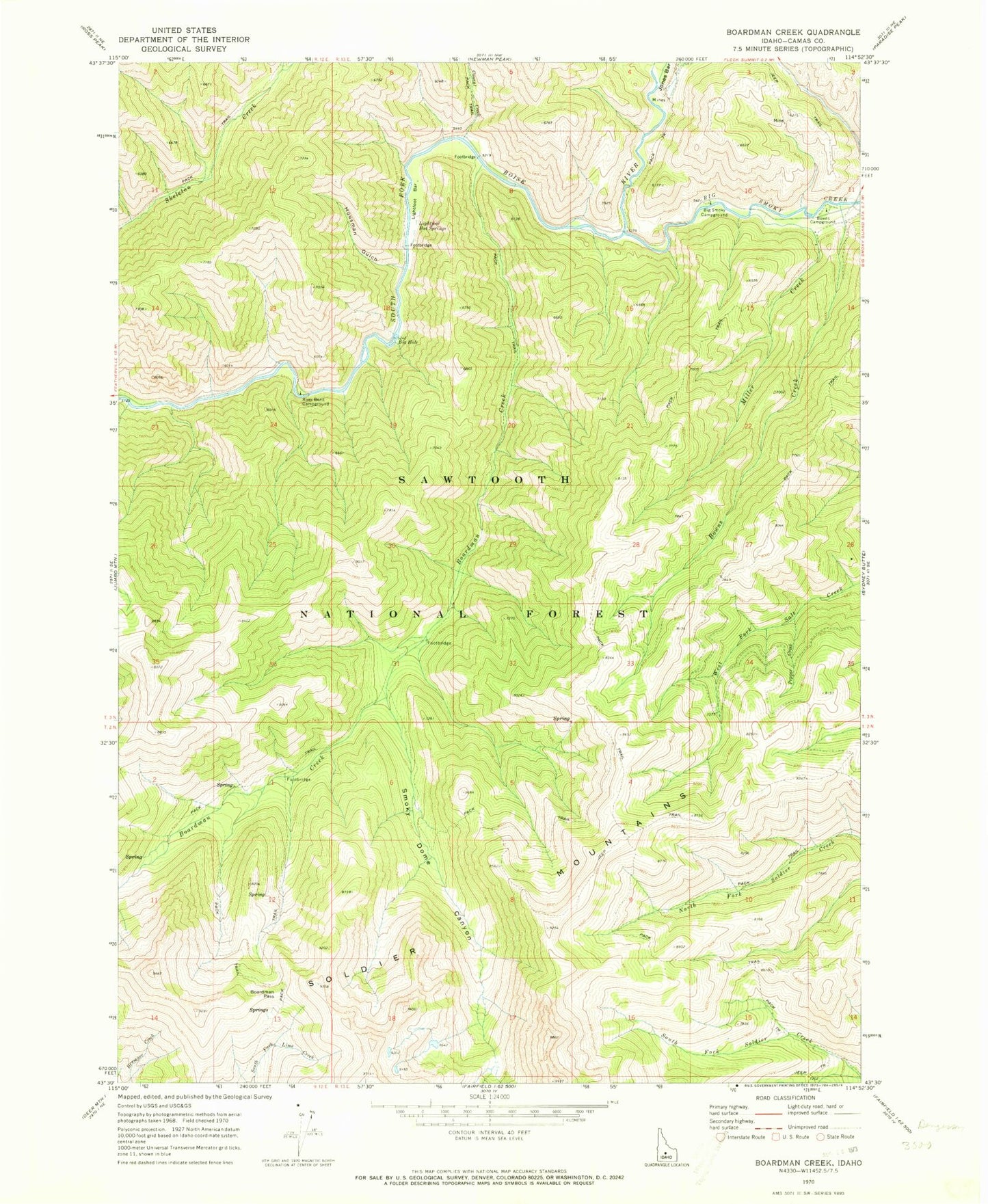
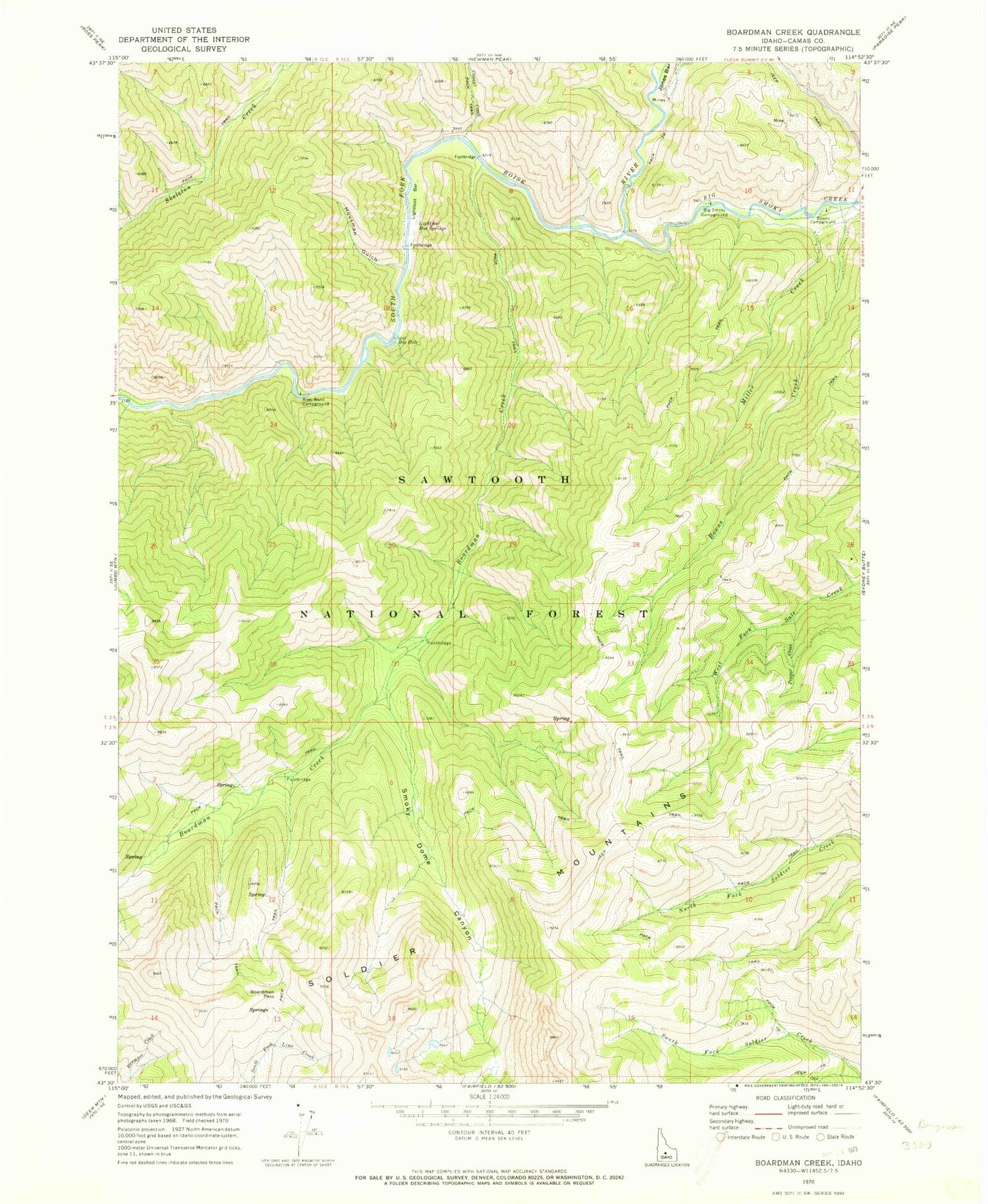
Classic USGS Boardman Creek Idaho 7.5'x7.5' Topo Map
Couldn't load pickup availability
Historical USGS topographic quad map of Boardman Creek in the state of Idaho. Map scale may vary for some years, but is generally around 1:24,000. Print size is approximately 24" x 27"
This quadrangle is in the following counties: Camas.
The map contains contour lines, roads, rivers, towns, and lakes. Printed on high-quality waterproof paper with UV fade-resistant inks, and shipped rolled.
Contains the following named places: Big Hole, Big Smoky Campground, Big Smoky Creek, Boardman Creek, Boardman Pass, Bowns Campground, Bowns Creek, Conant Creek, Housman Gulch, Jones Bar, Lightfoot Bar, Lightfoot Hot Springs, Little Skeleton Creek, Little Smokey Patrol Cabin, Miller Creek, Pepper Creek, River Bend Campground, Smoky Dome Canyon, Smoky Dome Lakes