MyTopo
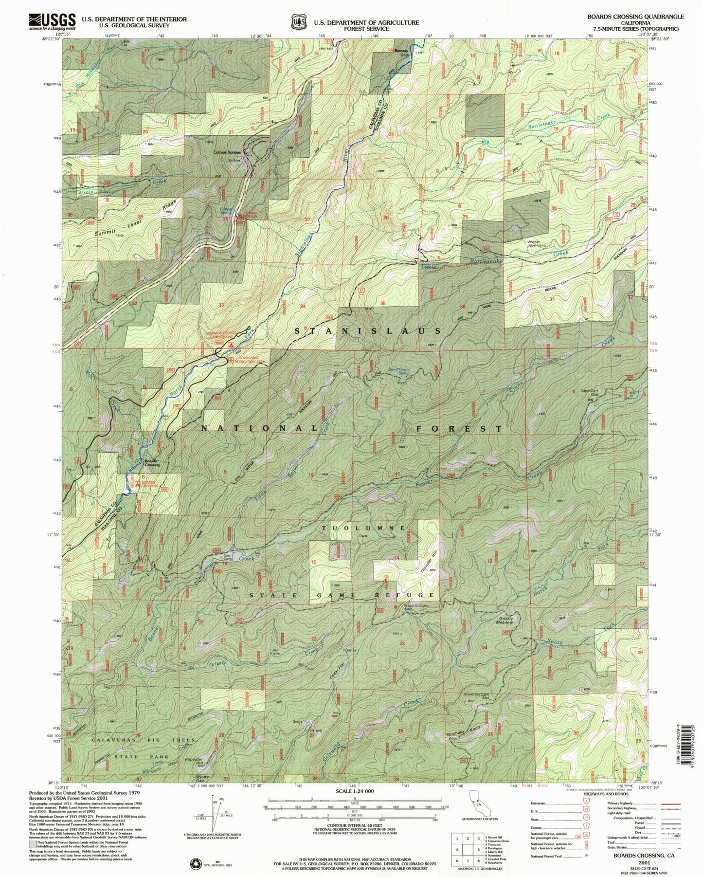
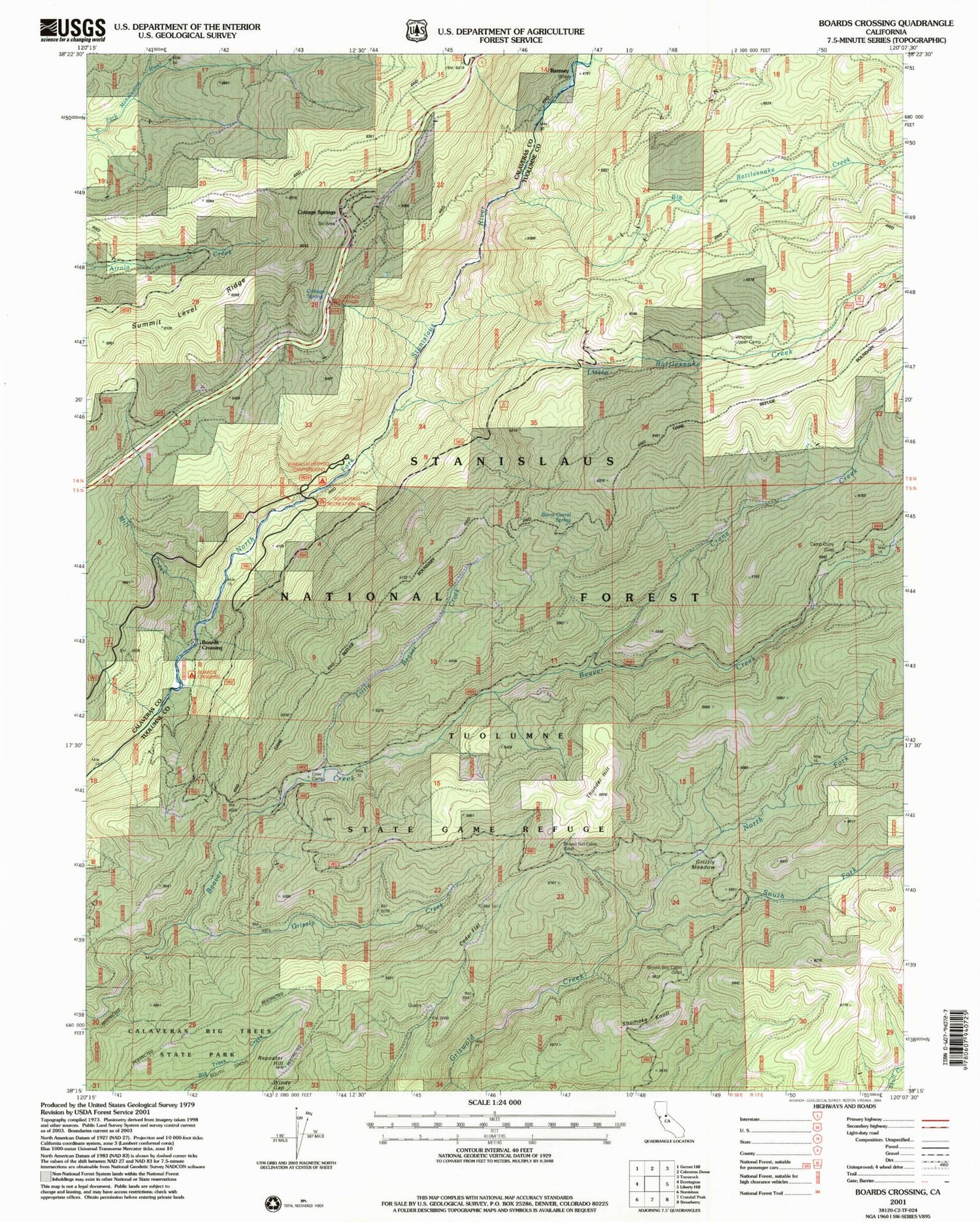
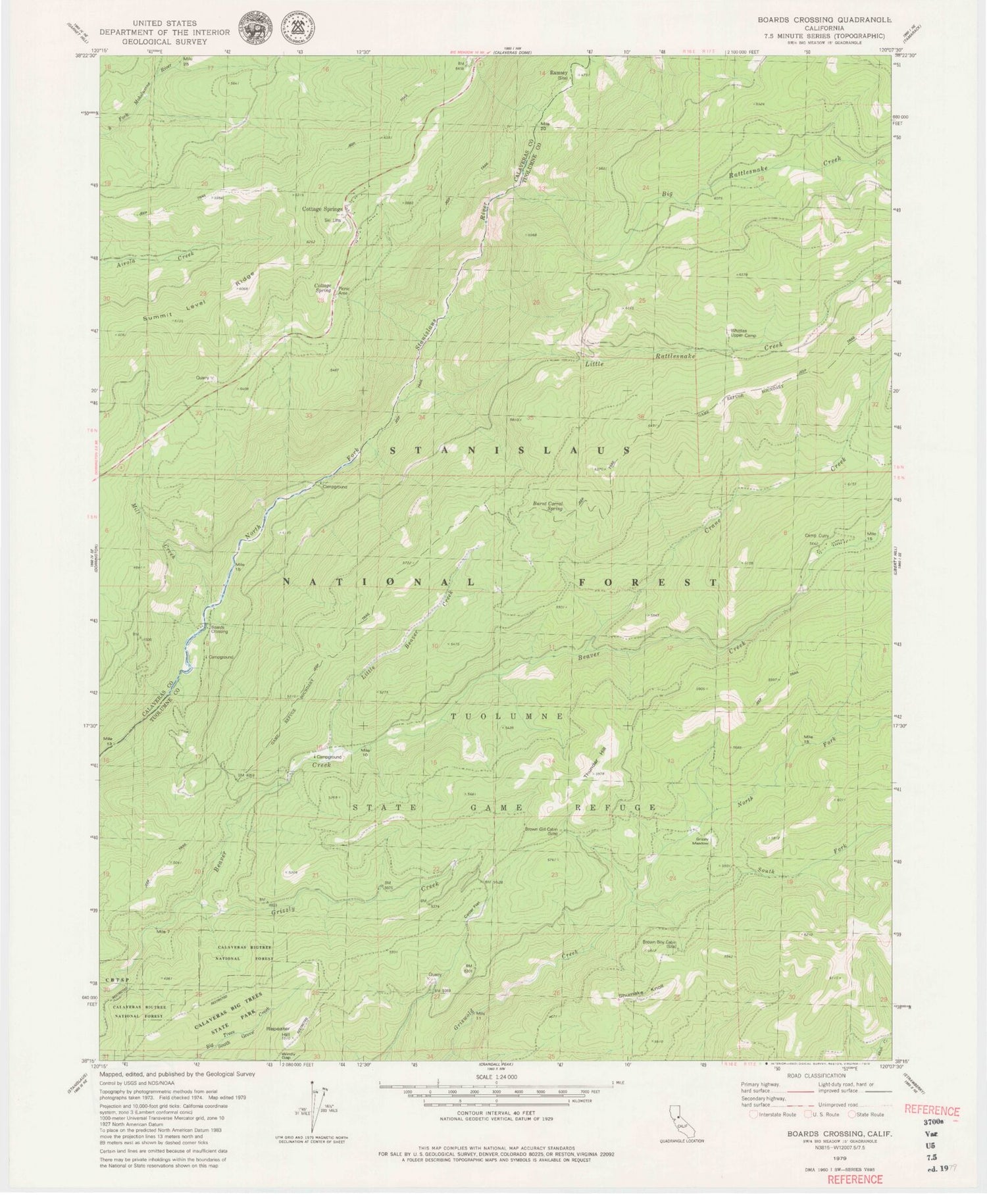
Classic USGS Boards Crossing California 7.5'x7.5' Topo Map
Couldn't load pickup availability
Historical USGS topographic quad map of Boards Crossing in the state of California. Typical map scale is 1:24,000, but may vary for certain years, if available. Print size: 24" x 27"
This quadrangle is in the following counties: Calaveras, Tuolumne.
The map contains contour lines, roads, rivers, towns, and lakes. Printed on high-quality waterproof paper with UV fade-resistant inks, and shipped rolled.
Contains the following named places: Big Rattlesnake Creek, Brown Boy Cabin, Brown Girl Cabin, Burnt Corral Spring, Camp Curry, Cedar Flat, Cottage Spring, Cow Camp, Crane Creek, Grizzly Creek, Grizzly Meadow, Little Beaver Creek, Little Rattlesnake Creek, Mill Creek, North Fork Griswold Creek, Ramsey, Repeater Hill, Calaveras Bigtree National Forest (historical), South Fork Griswold Creek, Summit Level Ridge, Thunder Hill, Whittles Upper Camp, Cottage Spring Campground, Sourgrass Campground, Cottage Springs Picnic Area, Beaver Creek Campground, Boards Crossing, Cottage Springs, Shumake Knoll, Beaver Creek Camp (historical)


