MyTopo
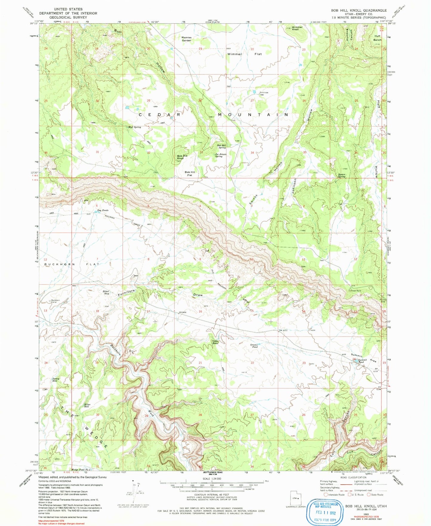
Classic USGS Bob Hill Knoll Utah 7.5'x7.5' Topo Map
Couldn't load pickup availability
Historical USGS topographic quad map of Bob Hill Knoll in the state of Utah. Map scale is 1:24000. Print size is approximately 24" x 27"
This quadrangle is in the following counties: Emery.
The map contains contour lines, roads, rivers, towns, and lakes. Printed on high-quality waterproof paper with UV fade-resistant inks, and shipped rolled.
Contains the following named places: Aldys Hole, Bitter Seep, Bob Hill Flat, Bob Hill Knoll, Bob Hill Spring, Buckhorn Corral, Cow Canyon, Dog Ponds, Furniture Draw, Gooseberry Hollow, Huff Hollow, Joe Jensen Spring, Johnson Hollow, Little Holes, Mamies Garden, Mud Spring, Orsons Pond, Squaw Spring, Summit Area, Summit Pond, Swazy Hole, The Wedge, Wimmer Flat, Wimmer Knoll