MyTopo
Classic USGS Bob Lakes Wyoming 7.5'x7.5' Topo Map
Regular price
$16.95
Regular price
Sale price
$16.95
Unit price
per
Couldn't load pickup availability
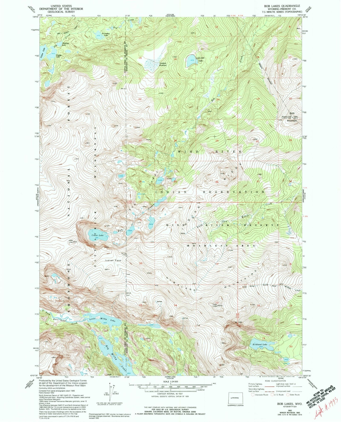
Historical USGS topographic quad map of Bob Lakes in the state of Wyoming. Typical map scale is 1:24,000, but may vary for certain years, if available. Print size: 24" x 27"
This quadrangle is in the following counties: Fremont.
The map contains contour lines, roads, rivers, towns, and lakes. Printed on high-quality waterproof paper with UV fade-resistant inks, and shipped rolled.
Contains the following named places: Bob Lakes, Bold Mountain, Crater Lake, Grassy Lake, Horseshoe Lake, Indian Pass, Indian Ridge, Kirkland Lake, Kirkland Mountains, Lenagon Meadows, Little Bob Lake, Little Milky Lake, Phillips Lake, Big Milky Lake, Meadow Creek Lookout Tower, South of Crater Lake Mine