MyTopo
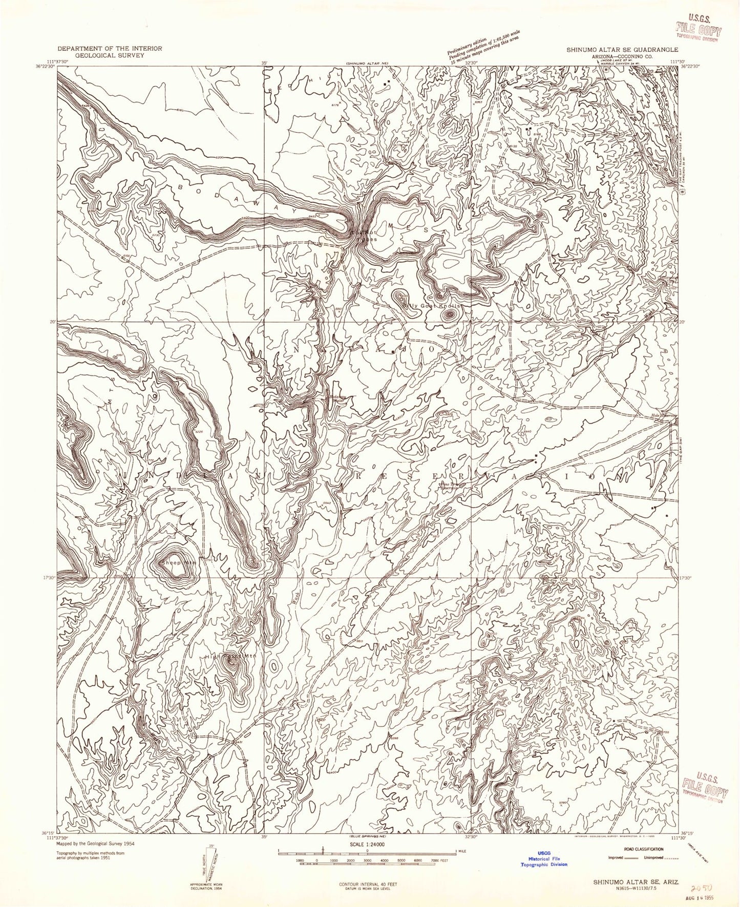
Classic USGS Bodaway Mesa Arizona 7.5'x7.5' Topo Map
Regular price
$16.95
Regular price
Sale price
$16.95
Unit price
per
Couldn't load pickup availability
Historical USGS topographic quad map of Bodaway Mesa in the state of Arizona. Map scale may vary for some years, but is generally around 1:24,000. Print size is approximately 24" x 27"
This quadrangle is in the following counties: Coconino.
The map contains contour lines, roads, rivers, towns, and lakes. Printed on high-quality waterproof paper with UV fade-resistant inks, and shipped rolled.
Contains the following named places: Billy Goat Knolls, Bodaway Chapter, Bodaway Mesa, Bodaway Water, Cottonwood Tank, High Point Mountain, Hole Reservoir, Pine Tree Reservoir, Red Hill, Sheep Mountain, Tolchaco Gap, Yon Dot Mountains