
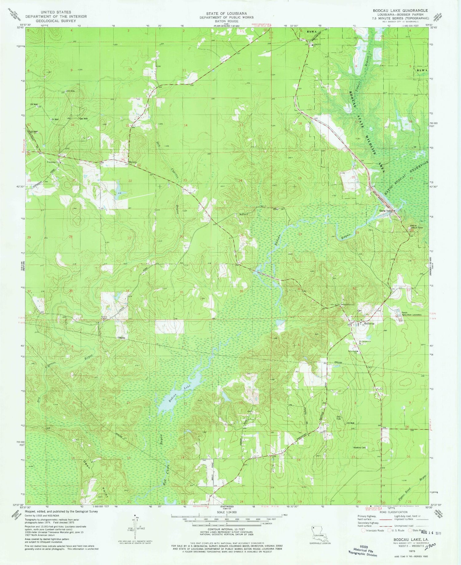
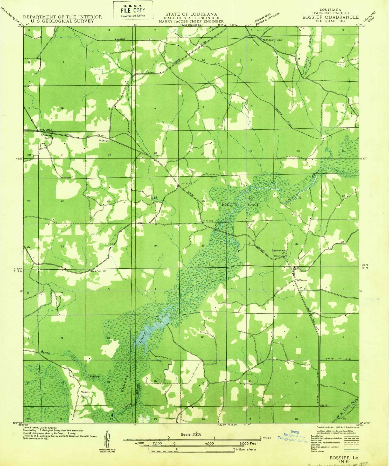
MyTopo
Classic USGS Bodcau Lake Louisiana 7.5'x7.5' Topo Map
Couldn't load pickup availability
Historical USGS topographic quad map of Bodcau Lake in the state of Louisiana. Typical map scale is 1:24,000, but may vary for certain years, if available. Print size: 24" x 27"
This quadrangle is in the following counties: Bossier.
The map contains contour lines, roads, rivers, towns, and lakes. Printed on high-quality waterproof paper with UV fade-resistant inks, and shipped rolled.
Contains the following named places: Bodcau Creek, Belcher Chapel, Belle-Park Church, Bethlehem Church, Dry Cypress Bayou, Friendship Church, Hawkins Cemetery, Longview Church, Mount Canaan Church, Tidwell Branch, Longview School (historical), Midway, Bayou Bodcau Dam, Bellevue, Bodcau Bayou, Bodcau Lake, Bossier Parish, Bodcau Lookout Tower, Bundytown (historical), Benton Fire District 4 Station 4, Bossier Parish Fire District 1 Station 4


