MyTopo
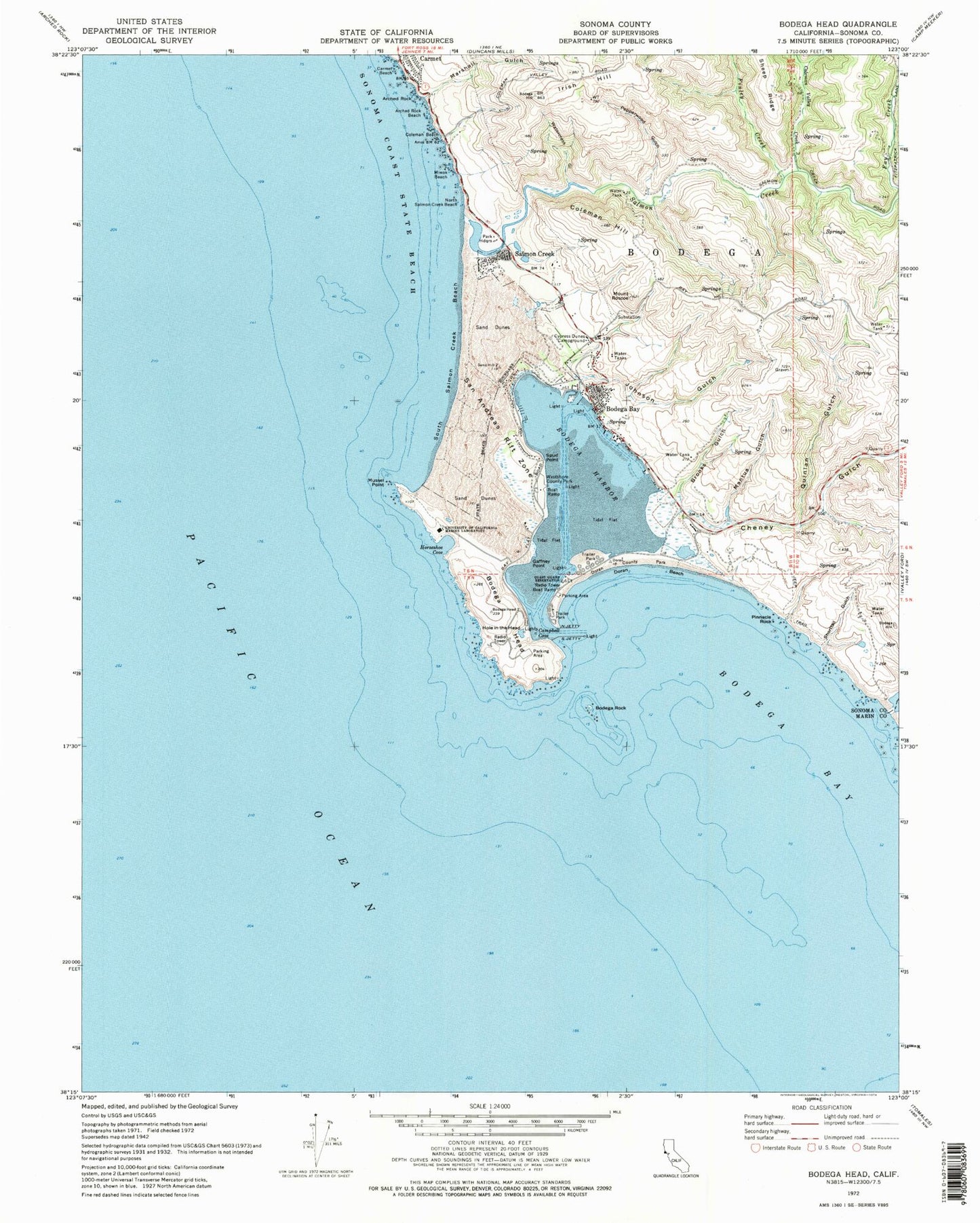
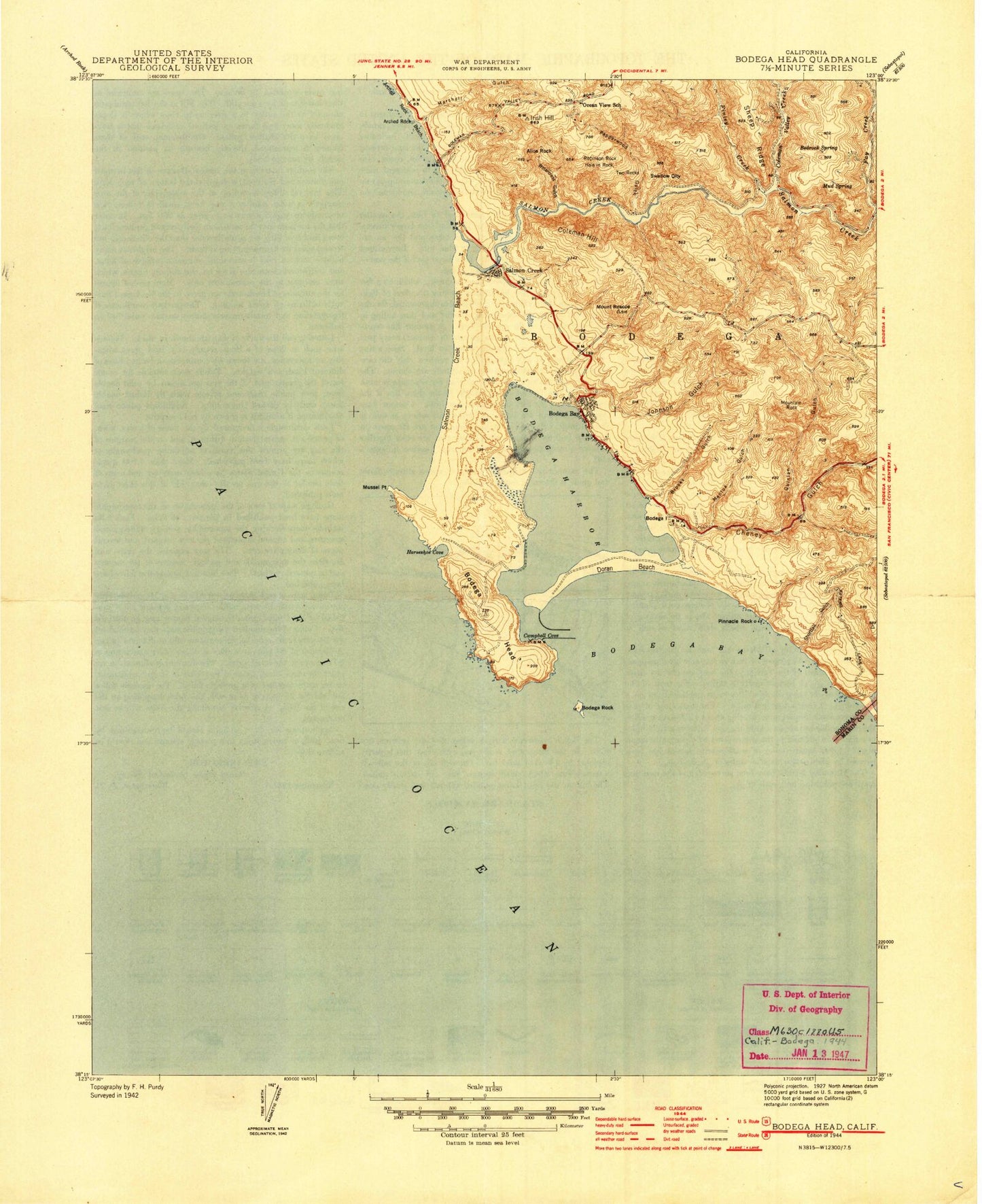
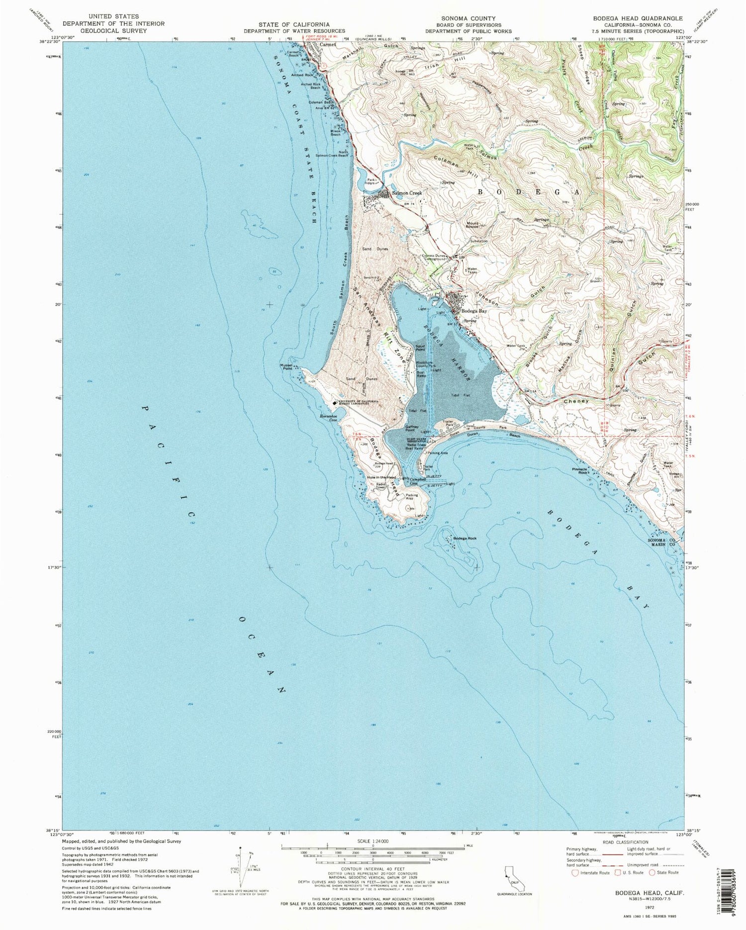
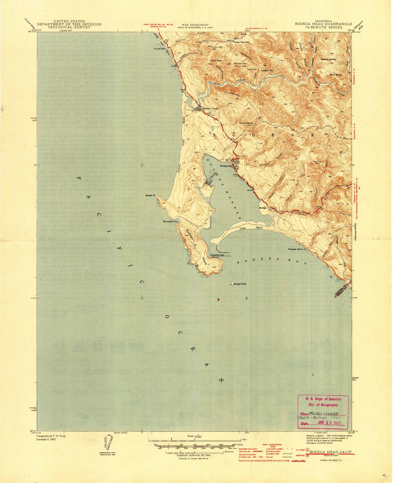
Classic USGS Bodega Head California 7.5'x7.5' Topo Map
Couldn't load pickup availability
Historical USGS topographic quad map of Bodega Head in the state of California. Typical map scale is 1:24,000, but may vary for certain years, if available. Print size: 24" x 27"
This quadrangle is in the following counties: Marin, Sonoma.
The map contains contour lines, roads, rivers, towns, and lakes. Printed on high-quality waterproof paper with UV fade-resistant inks, and shipped rolled.
Contains the following named places: Arched Rock, Arched Rock Beach, Bodega Head, Bodega Rock, Brooks Gulch, Campbell Cove, Carmel Beach, Cheney Gulch, Coleman Beach, Coleman Hill, Coleman Valley Creek, Cypress Dunes Campground, Doran Beach, Doran Regional Park, Estero Americano, Fay Creek, Finley Creek, Gaffney Point, Green Creek, Hole in the Head, Horseshoe Cove, Irish Hill, Johnson Gulch, Mantua Gulch, Marshall Gulch, Miwok Beach, Mussel Point, North Jetty, North Salmon Creek Beach, Pepperwood Gulch, Pinnacle Rock, Quinlan Gulch, Mount Roscoe, Salmon Creek, Shorttail Gulch, South Jetty, South Salmon Creek Beach, Spud Point, University of California Marine Laboratory, Watercress Gulch, Westside Regional Park, Duncans Landing, Gull Rocks, Bodega Bay, Bodega Harbor, Alice Rock, Bedrock Spring, Bodega Island, Hole In Rock, Mountain Rock, Mud Spring, Ocean View School (historical), Robinson Rock, Swallow City, Two Rocks, Bodega Bay, Salmon Creek, Carmet, Bodega School (historical), Bodega Bay Union Church, Bodega Dunes, Bodega Marine Life Refuge, Bodega Marine Reserve, Doran Spit, Bodega Bay Post Office, Bodega Bay Elementary School, Bodega Dunes Campground, Bodega Harbor Golf Links, Compass Rose Gardens, Doran Campground, Masons Marina, Porto Bodega Marina, Spud Point Marina, Westside Campground, Bodega Bay Cemetery, Bodega Bay Census Designated Place, Carmet Census Designated Place, Salmon Creek Census Designated Place, Bodega Bay Fire Protection District, Hagemann Ranch Quarry, Arched Rock, Arched Rock Beach, Bodega Head, Bodega Rock, Brooks Gulch, Campbell Cove, Carmel Beach, Cheney Gulch, Coleman Beach, Coleman Hill, Coleman Valley Creek, Cypress Dunes Campground, Doran Beach, Doran Regional Park, Estero Americano, Fay Creek, Finley Creek, Gaffney Point, Green Creek, Hole in the Head, Horseshoe Cove, Irish Hill, Johnson Gulch, Mantua Gulch, Marshall Gulch, Miwok Beach, Mussel Point, North Jetty, North Salmon Creek Beach, Pepperwood Gulch, Pinnacle Rock, Quinlan Gulch, Mount Roscoe, Salmon Creek, Shorttail Gulch, South Jetty, South Salmon Creek Beach, Spud Point, University of California Marine Laboratory, Watercress Gulch, Westside Regional Park, Duncans Landing, Gull Rocks, Bodega Bay, Bodega Harbor, Alice Rock, Bedrock Spring, Bodega Island, Hole In Rock, Mountain Rock, Mud Spring, Ocean View School (historical), Robinson Rock, Swallow City, Two Rocks, Bodega Bay, Salmon Creek, Carmet, Bodega School (historical), Bodega Bay Union Church, Bodega Dunes, Bodega Marine Life Refuge, Bodega Marine Reserve, Doran Spit, Bodega Bay Post Office, Bodega Bay Elementary School, Bodega Dunes Campground, Bodega Harbor Golf Links, Compass Rose Gardens, Doran Campground, Masons Marina, Porto Bodega Marina, Spud Point Marina, Westside Campground, Bodega Bay Cemetery, Bodega Bay Census Designated Place, Carmet Census Designated Place, Salmon Creek Census Designated Place, Bodega Bay Fire Protection District, Hagemann Ranch Quarry


