MyTopo
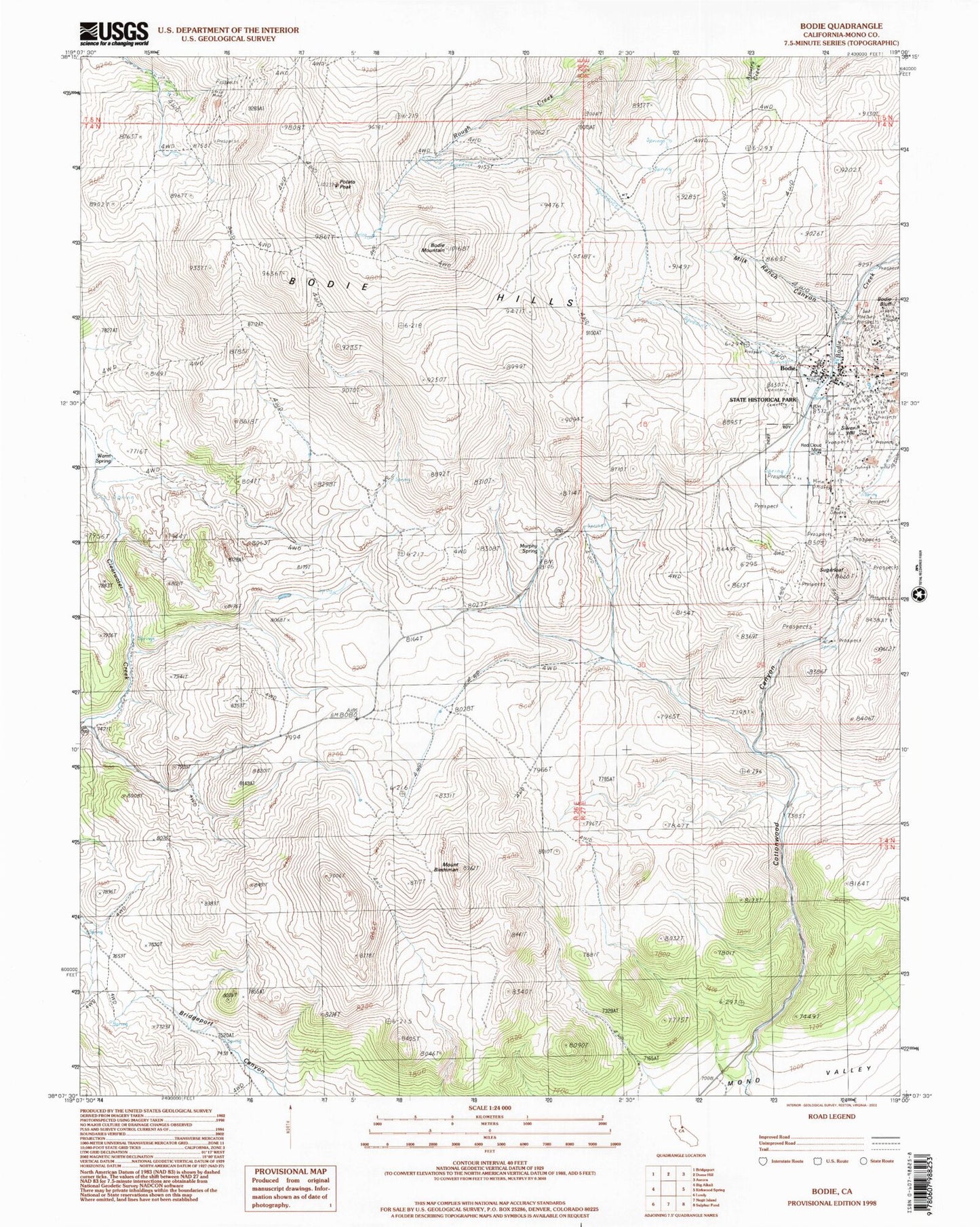
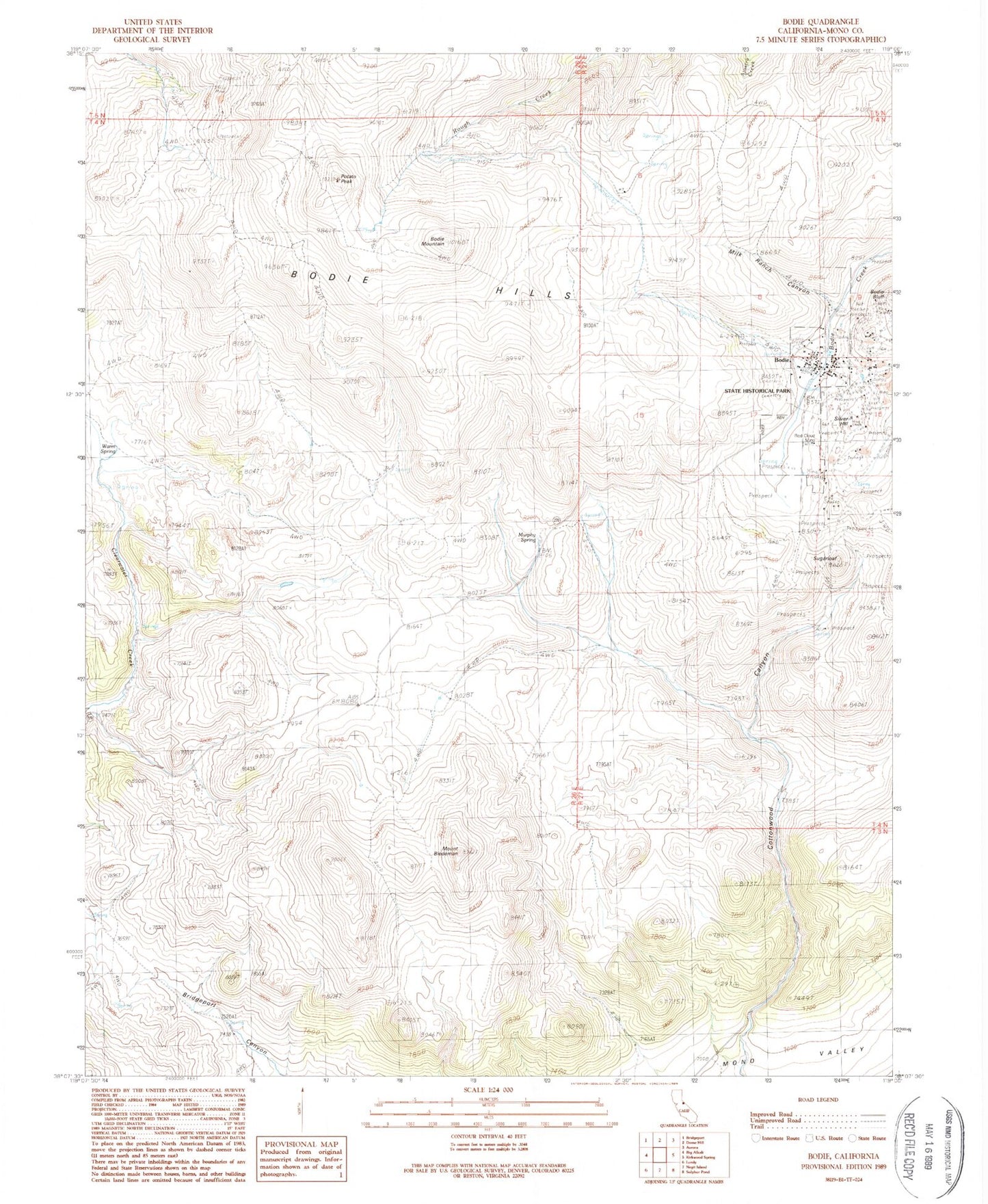
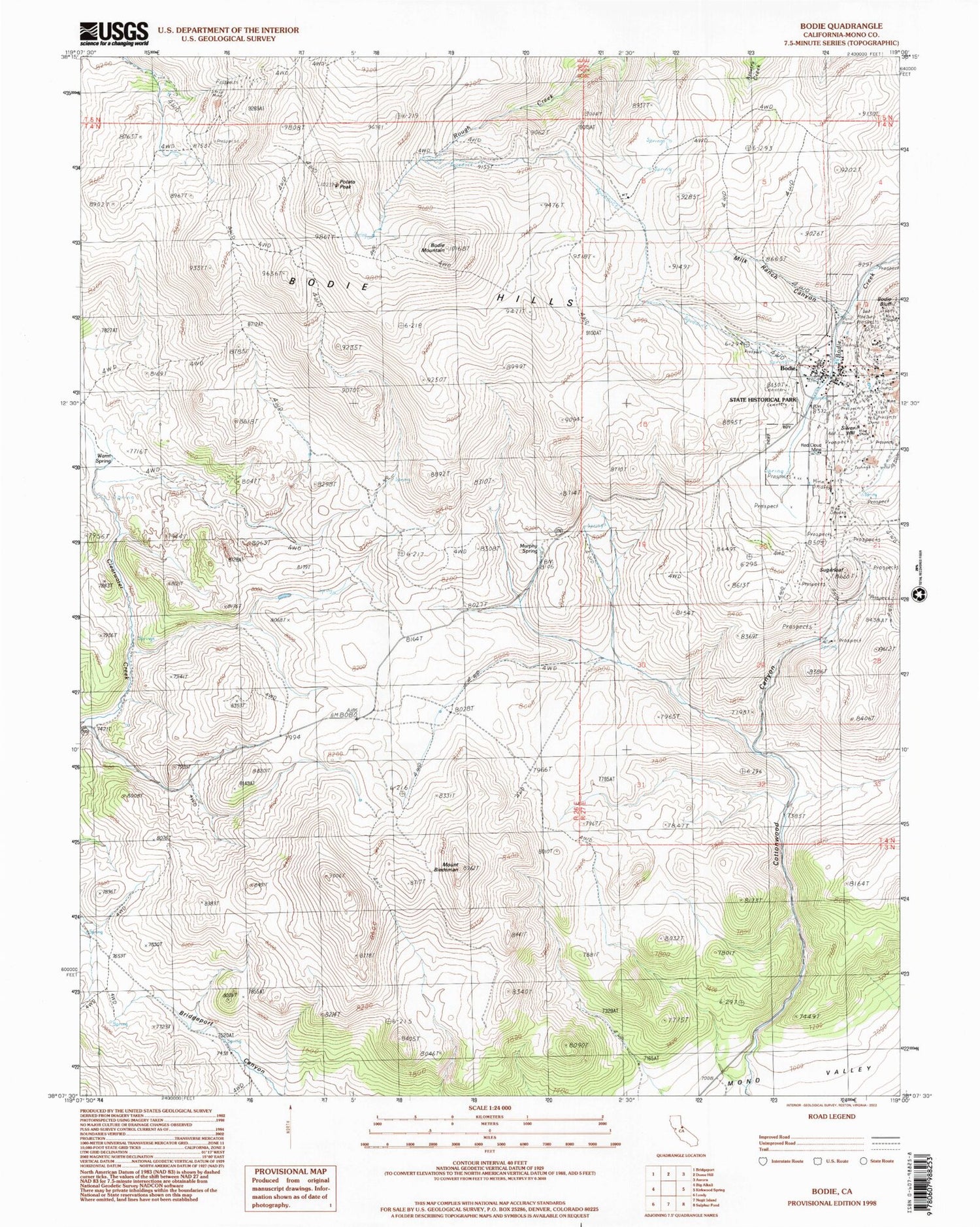
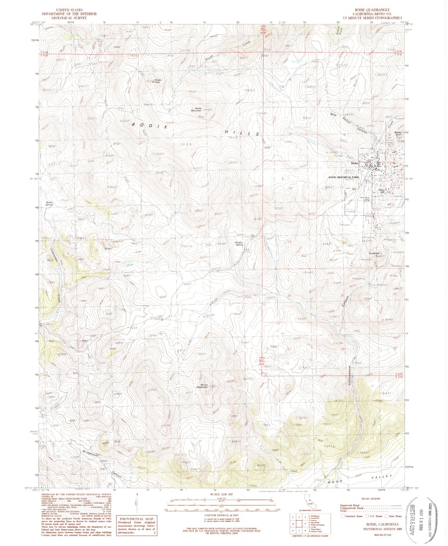
Classic USGS Bodie California 7.5'x7.5' Topo Map
Couldn't load pickup availability
Historical USGS topographic quad map of Bodie in the state of California. Typical map scale is 1:24,000, but may vary for certain years, if available. Print size: 24" x 27"
This quadrangle is in the following counties: Mono.
The map contains contour lines, roads, rivers, towns, and lakes. Printed on high-quality waterproof paper with UV fade-resistant inks, and shipped rolled.
Contains the following named places: Mount Biedeman, Bodie Bluff, Cottonwood Canyon, Milk Ranch Canyon, Mormon Ranch (historical), Murphy Spring, Potato Peak, Red Cloud Mine, Sugarloaf, Warm Spring, Bodie State Historic Park, Bodie Hills, Bodie, Bodie Mountain, Silver Hill, Bodie State Historic Park Office, Cameron House, Chinatown, Conway House, Doctor Streets House, Donnelly House, Dog Face Georges House, Dolan House, Masonic Cemetery, McDonald House, Mendocini House, Miller House, Miller Rooming House, Miners Union Cemetery, Quinville House, Seiler House, Selhorn House, Wards Cemetery, Andrews House, Bodie Athletic Club, Bodie Post Office (historical), Bodie Town Jail, Bon Ton Lodging House (historical), Boone Store and Warehouse, Brown House, Burkham House, Campana House, D V Cain House, Dechambeau Hotel, Dolan House, Dolan House, Durham House, Forsythe House, Garraty House, Gordon House, Gregory House, Grey House, Hoover House, Klipstein House, Lottie Johl House, Major House, McInnis House, McMillan House, Miller Boarding House, Miners Union Hall, Moyle House, Moyle Warehouse (historical), O'Brian Station and Warehouse, Occidental Hotel (historical), Owen House, Parr House (historical), Soderling Assay Office (historical), Stuart Kirkwood Livery Stable, Sturgeon House, Swazey Hotel, Todd House (historical), Tong Sing Wo, Tracy House, United States Hotel (historical), Wheaton and Hollis Hotel, Pearson Spring


