MyTopo
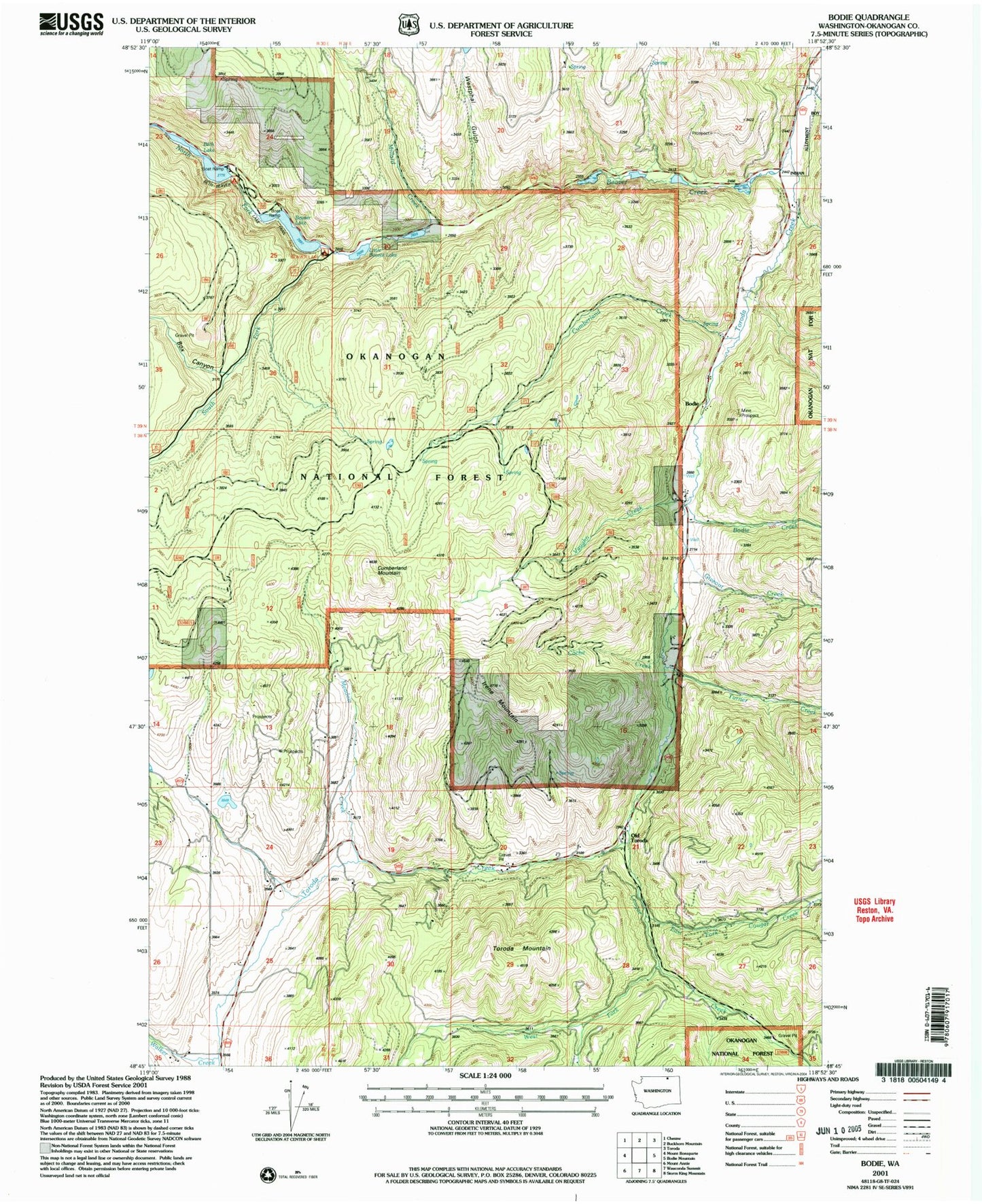
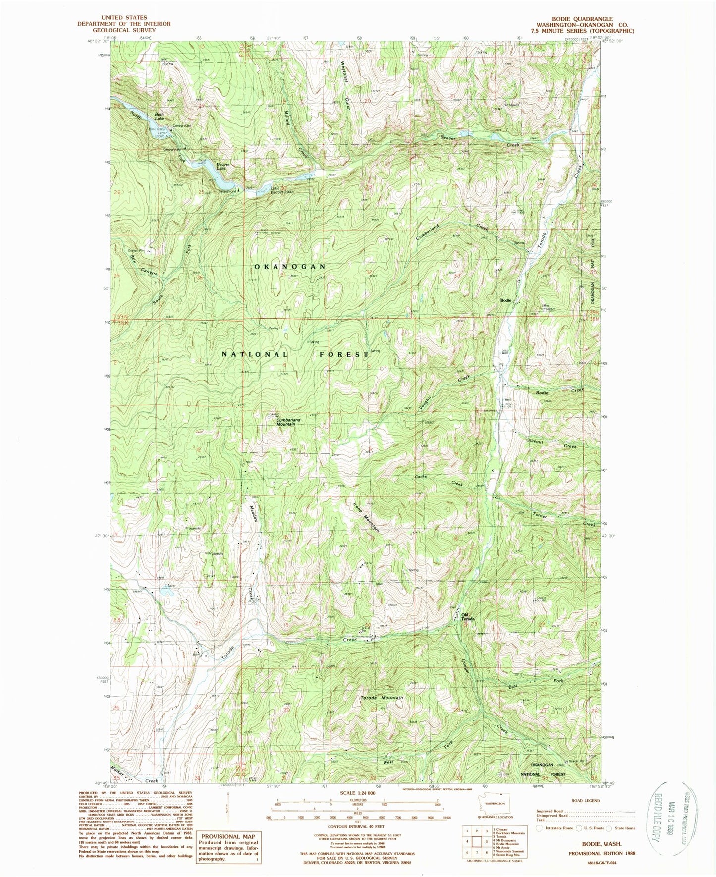
Classic USGS Bodie Washington 7.5'x7.5' Topo Map
Couldn't load pickup availability
Historical USGS topographic quad map of Bodie in the state of Washington. Typical map scale is 1:24,000, but may vary for certain years, if available. Print size: 24" x 27"
This quadrangle is in the following counties: Okanogan.
The map contains contour lines, roads, rivers, towns, and lakes. Printed on high-quality waterproof paper with UV fade-resistant inks, and shipped rolled.
Contains the following named places: Beaver Creek, Beaver Lake, Beth Lake, Bodie, Bodie Creek, Box Canyon, Cache Creek, Cougar Creek, Cumberland Creek, Cumberland Mountain, East Fork Cougar Creek, Giveout Creek, Harvey Creek, Irene Mountain, Meadow Creek, Millard Creek, North Fork Beaver Creek, Old Toroda, South Fork Beaver Creek, Toroda Mountain, Turner Creek, Vaughn Creek, Walker Creek, West Fork Cougar Creek, Westphal Gulch, Atchison Mill, Beth Lake Campground, Beaver Lake Campground, Beth Lake Dam, Wauconda Quarry