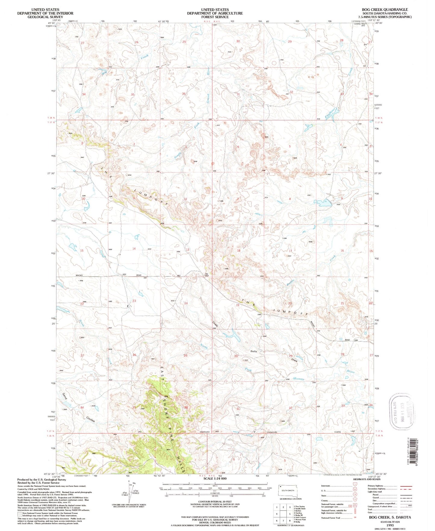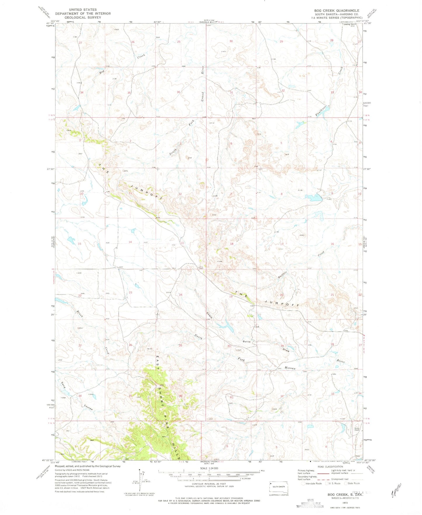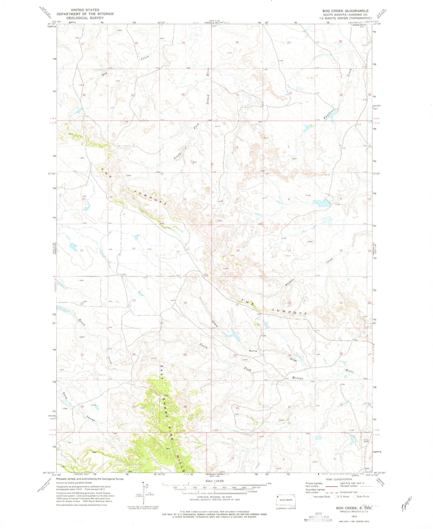
MyTopo
Classic USGS Bog Creek South Dakota 7.5'x7.5' Topo Map
Regular price
$16.95
Regular price
Sale price
$16.95
Unit price
per
Couldn't load pickup availability
Historical USGS topographic quad map of Bog Creek in the state of South Dakota. Map scale may vary for some years, but is generally around 1:24,000. Print size is approximately 24" x 27"
This quadrangle is in the following counties: Harding.
The map contains contour lines, roads, rivers, towns, and lakes. Printed on high-quality waterproof paper with UV fade-resistant inks, and shipped rolled.
Contains the following named places: Bog Creek, Chalk Butte Draw, East Short Pine Hills, Gilbert Number 2 Dam, Gilbert Number Two Reservoir, Hett Number 1 Dam, Hett Number 2 Dam, Mackey Ranch, Matson Dam, Matson Reservoir, Ruona Ranch, Township of Harding